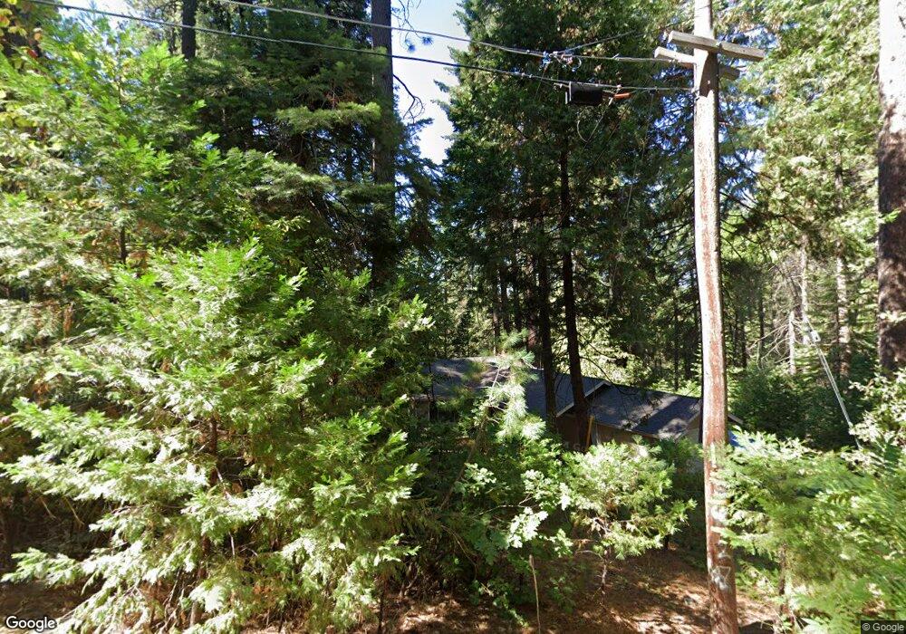
1330 Shady Cir Arnold, CA 95223
Estimated Value: $282,000 - $371,000
3
Beds
2
Baths
1,657
Sq Ft
$196/Sq Ft
Est. Value
About This Home
This home is located at 1330 Shady Cir, Arnold, CA 95223 and is currently estimated at $325,570, approximately $196 per square foot. 1330 Shady Cir is a home with nearby schools including Bret Harte Union High School.
Ownership History
Date
Name
Owned For
Owner Type
Purchase Details
Closed on
Jun 8, 2011
Sold by
Federal National Mortgage Association
Bought by
Chapman Robert Ormand
Current Estimated Value
Purchase Details
Closed on
May 18, 2010
Sold by
Vosefski Michael A
Bought by
Federal National Mortgage Association
Create a Home Valuation Report for This Property
The Home Valuation Report is an in-depth analysis detailing your home's value as well as a comparison with similar homes in the area
Home Values in the Area
Average Home Value in this Area
Purchase History
| Date | Buyer | Sale Price | Title Company |
|---|---|---|---|
| Chapman Robert Ormand | $79,000 | Fidelity National Title | |
| Federal National Mortgage Association | $232,159 | Accommodation |
Source: Public Records
Tax History
| Year | Tax Paid | Tax Assessment Tax Assessment Total Assessment is a certain percentage of the fair market value that is determined by local assessors to be the total taxable value of land and additions on the property. | Land | Improvement |
|---|---|---|---|---|
| 2025 | $2,093 | $140,917 | $38,430 | $102,487 |
| 2023 | $2,036 | $135,447 | $36,939 | $98,508 |
| 2022 | $1,874 | $132,792 | $36,215 | $96,577 |
| 2021 | $1,862 | $130,189 | $35,505 | $94,684 |
| 2020 | $1,840 | $128,855 | $35,141 | $93,714 |
| 2019 | $1,817 | $126,329 | $34,452 | $91,877 |
| 2018 | $1,646 | $123,853 | $33,777 | $90,076 |
| 2017 | $1,609 | $121,425 | $33,115 | $88,310 |
| 2016 | $1,604 | $119,045 | $32,466 | $86,579 |
| 2015 | -- | $117,258 | $31,979 | $85,279 |
| 2014 | -- | $114,962 | $31,353 | $83,609 |
Source: Public Records
Map
Nearby Homes
- 1100-+ California 4
- 1111 California 4
- 1462 Pine Dr
- 1536 Meadowview Rd
- 1641 Meadowview Rd
- 15 Mill Creek Cir
- 1002 Manuel Rd
- 31 Splash Dam Loop
- 1660 Pine Dr
- 2393 Stephanie Dr
- 791 Highway 4
- 1941 Fairway Dr
- 2266 Fairway Dr
- 2081 Jerrilynn Dr
- 845 Honey Ct
- 2637 Ruth Ln
- 2136 Silver Dr
- 1413 Gertrude Way
- 2072 Mewe Ct
- 2435 El Dorado Dr
- 1350 Shady Cir
- 1320 Shady Cir
- 1331 Shady Cir
- 1365 Shady Cir
- 1314 Shady Cir
- 1370 Shady Cir
- 1426 Lilac Dr
- 1379 Shady Cir
- 1231 California 4
- 1277 Shady Cir
- 1294 Shady Cir
- 1400 Lilac Dr
- 1474 Lilac Dr
- 1456 Lilac Dr
- 1282 Shady Cir
- 1271 Shady Cir
- 4228 California 4
- 3381 California 4
- 2554 California 4
- 1368 California 4
Your Personal Tour Guide
Ask me questions while you tour the home.