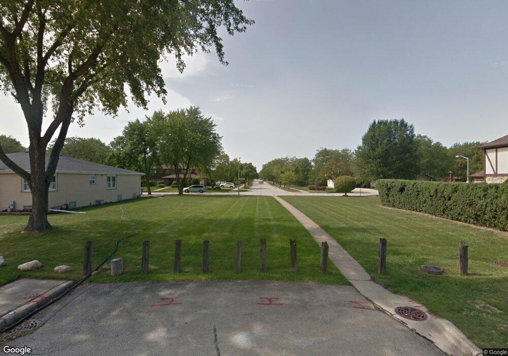
1330 W Sable Dr Addison, IL 60101
Estimated Value: $580,000 - $664,396
Studio
--
Bath
3,512
Sq Ft
$181/Sq Ft
Est. Value
About This Home
This home is located at 1330 W Sable Dr, Addison, IL 60101 and is currently estimated at $636,599, approximately $181 per square foot. 1330 W Sable Dr is a home located in DuPage County with nearby schools including Stone Elementary School, Indian Trail Jr High School, and Addison Trail High School.
Ownership History
Date
Name
Owned For
Owner Type
Purchase Details
Closed on
Aug 31, 2011
Sold by
Campeglia Craig J and Campeglia Mary Ann
Bought by
Campeglia Mary Ann and Mary Ann Campeglia Trust
Current Estimated Value
Purchase Details
Closed on
Jul 18, 2011
Sold by
Campeglia Mary Ann and Mary Ann Campeglia Trust
Bought by
Campeglia Craig J and Campeglia Mary Ann
Purchase Details
Closed on
Dec 23, 2004
Sold by
Campeglia Craig J and Campeglia Mary Ann
Bought by
Campeglia Mary Ann and Mary Ann Campeglia Trust
Purchase Details
Closed on
Jan 18, 1999
Sold by
Campeglia Craig J and Campeglia Mary Ann
Bought by
Campeglia Mary Ann
Create a Home Valuation Report for This Property
The Home Valuation Report is an in-depth analysis detailing your home's value as well as a comparison with similar homes in the area
Home Values in the Area
Average Home Value in this Area
Purchase History
| Date | Buyer | Sale Price | Title Company |
|---|---|---|---|
| Campeglia Mary Ann | -- | None Available | |
| Campeglia Craig J | -- | None Available | |
| Campeglia Mary Ann | -- | -- | |
| Campeglia Mary Ann | -- | Chicago Title Insurance Co |
Source: Public Records
Tax History
| Year | Tax Paid | Tax Assessment Tax Assessment Total Assessment is a certain percentage of the fair market value that is determined by local assessors to be the total taxable value of land and additions on the property. | Land | Improvement |
|---|---|---|---|---|
| 2024 | $14,365 | $219,811 | $58,643 | $161,168 |
| 2023 | $13,697 | $202,070 | $53,910 | $148,160 |
| 2022 | $13,998 | $201,060 | $53,640 | $147,420 |
| 2021 | $13,412 | $192,590 | $51,380 | $141,210 |
| 2020 | $13,047 | $184,470 | $49,210 | $135,260 |
| 2019 | $12,956 | $177,380 | $47,320 | $130,060 |
| 2018 | $13,273 | $174,500 | $47,310 | $127,190 |
| 2017 | $12,930 | $166,780 | $45,220 | $121,560 |
| 2016 | $12,584 | $153,980 | $41,750 | $112,230 |
| 2015 | $12,269 | $142,250 | $38,570 | $103,680 |
| 2014 | $12,275 | $141,460 | $38,810 | $102,650 |
| 2013 | $12,024 | $144,340 | $39,600 | $104,740 |
Source: Public Records
Map
Nearby Homes
- 1210 N Foxdale Dr Unit 109
- 1137 N Itasca Rd
- 1113 N Itasca Rd
- 1130 N Thatcher Ln
- 1354 W Byron Ave Unit D
- 1660 W Prescott Place
- 1306 W Byron Ave
- 5N210 Central Rd
- 729 N 8th Ave
- 4N327 7th Ave
- 953 N Rohlwing Rd Unit GB
- 19W720 Woodland Ave
- 580 N Highlander Way
- 4N212 8th Ave
- 971 N Rohlwing Rd Unit GB
- 1 Itasca Place Unit 412
- 1 Itasca Place Unit 107
- 5N260 Eagle Terrace
- 823 N Harrow Ct
- 818 N Rumple Ln
- 1328 W Sable Dr
- 1332 W Sable Dr
- 1209 N Ashley Ln
- 1322 W Sable Dr
- 1215 N Ashley Ln
- 1216 N Westridge Place
- 1320 W Sable Dr
- 1211 N Aspen Way
- 1329 W Sable Dr
- 1331 W Sable Dr
- 1323 W Sable Dr
- 1220 N Westridge Place
- 1219 N Ashley Ln
- 1337 W Sable Dr
- 1208 N Ashley Ln
- 1333 W Sable Dr
- 1214 N Ashley Ln
- 1213 N Aspen Way
- 1319 W Sable Dr
- 1226 N Westridge Place
Your Personal Tour Guide
Ask me questions while you tour the home.