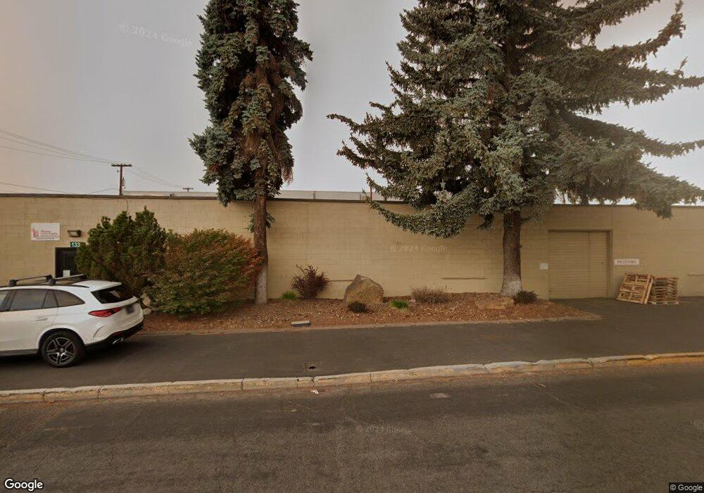
1331 NE 1st St Bend, OR 97701
Orchard District NeighborhoodEstimated Value: $2,135,373
--
Bed
--
Bath
13,800
Sq Ft
$155/Sq Ft
Est. Value
About This Home
This home is located at 1331 NE 1st St, Bend, OR 97701 and is currently estimated at $2,135,373, approximately $154 per square foot. 1331 NE 1st St is a home located in Deschutes County with nearby schools including Juniper Elementary School, Bend Senior High School, and The Waldorf School of Bend.
Ownership History
Date
Name
Owned For
Owner Type
Purchase Details
Closed on
Mar 12, 2014
Sold by
Main Line Properties Llc
Bought by
Cox Properties Holding Company Llc
Current Estimated Value
Purchase Details
Closed on
Dec 18, 2006
Sold by
White Stephan A
Bought by
Main Line Properties Llc
Purchase Details
Closed on
May 21, 2004
Sold by
Harney Peak Development Llc
Bought by
White Stephan A
Create a Home Valuation Report for This Property
The Home Valuation Report is an in-depth analysis detailing your home's value as well as a comparison with similar homes in the area
Home Values in the Area
Average Home Value in this Area
Purchase History
| Date | Buyer | Sale Price | Title Company |
|---|---|---|---|
| Cox Properties Holding Company Llc | $825,000 | First American Title | |
| Main Line Properties Llc | -- | None Available | |
| White Stephan A | $875,000 | -- |
Source: Public Records
Tax History Compared to Growth
Tax History
| Year | Tax Paid | Tax Assessment Tax Assessment Total Assessment is a certain percentage of the fair market value that is determined by local assessors to be the total taxable value of land and additions on the property. | Land | Improvement |
|---|---|---|---|---|
| 2025 | $17,860 | $1,057,050 | -- | -- |
| 2024 | $17,183 | $1,026,270 | -- | -- |
| 2023 | $15,929 | $996,380 | $0 | $0 |
| 2022 | $14,861 | $939,190 | $0 | $0 |
| 2021 | $14,884 | $911,840 | $0 | $0 |
| 2020 | $14,120 | $911,840 | $0 | $0 |
| 2019 | $13,727 | $885,290 | $0 | $0 |
| 2018 | $13,339 | $859,510 | $0 | $0 |
| 2017 | $12,948 | $834,480 | $0 | $0 |
| 2016 | $12,348 | $810,180 | $0 | $0 |
| 2015 | $12,006 | $786,590 | $0 | $0 |
| 2014 | $10,131 | $678,520 | $0 | $0 |
Source: Public Records
Map
Nearby Homes
- 1565 NW Wall St Unit 124 - 125
- 1565 NW Wall St Unit 220/221
- 1565 NW Wall St Unit 306
- 1565 NW Wall St Unit 206
- 1565 NW Wall St Unit 154-155
- 3369 NW Zayden Ct
- 1714 NW Steidl Rd
- 468 NE Olney Ave
- 828 NW Hill St
- 3843 NE Petrosa Ave
- 111 NW Hawthorne Ave Unit 1
- 233 NW Revere Ave
- 429 NE Irving Ave
- 1603 NW 2nd St
- 202 NW Thurston Ave
- 643 NE Marshall Ave
- 645 NE Marshall Ave
- 1576 NW Awbrey Rd
- 649 NE Kearney Ave
- 1975 NW Harriman St
- 1307 NE 1st St
- 1414 NE 1st St
- 1223 NE 1st St
- 1260 NE 1st St
- 138 NE Norton Ave
- 1216 NE 1st St
- 1289 NE 2nd St Unit 2
- 1259 NE 2nd St
- 1279 NE 2nd St
- 1212 NE 1st St
- 34 NE Marshall Ave
- 1145 NE 1st St
- 147 NE Olney Ave
- 1334 NE 2nd St
- 1300 NE 2nd St
- 1352 NE 2nd St Unit 100
- 1352 NE 2nd St
- 1244 NE 2nd St
- 30 NW Norton Ave
- 1236 NE 2nd St