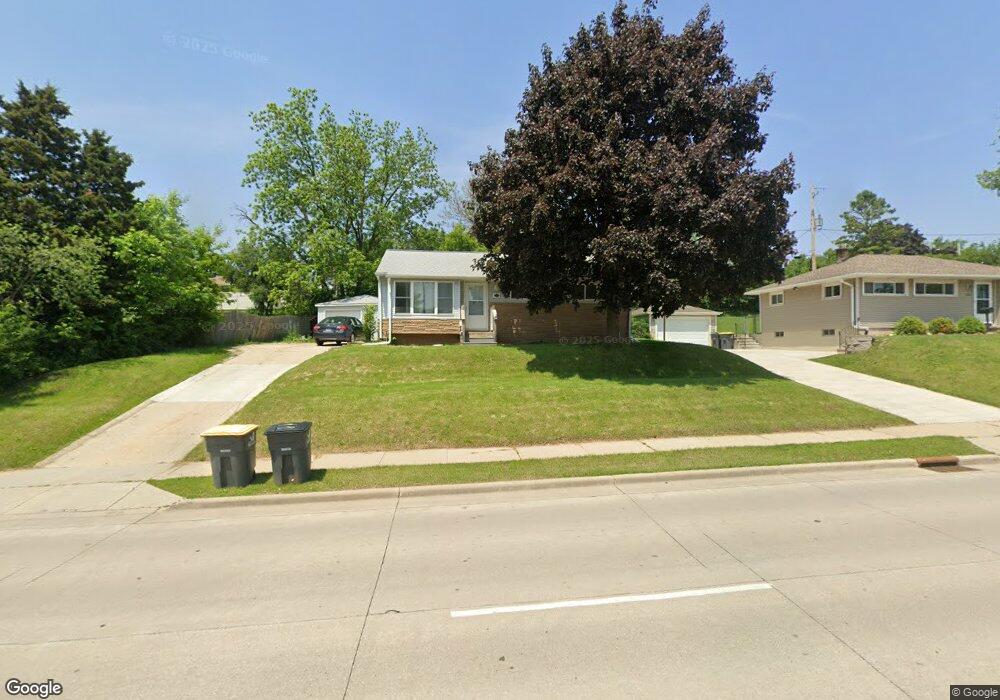
1332 E Moreland Blvd Waukesha, WI 53186
Estimated Value: $256,000 - $325,000
3
Beds
1
Bath
908
Sq Ft
$315/Sq Ft
Est. Value
About This Home
This home is located at 1332 E Moreland Blvd, Waukesha, WI 53186 and is currently estimated at $286,160, approximately $315 per square foot. 1332 E Moreland Blvd is a home located in Waukesha County with nearby schools including Banting Elementary School, Horning Middle School, and South High School.
Ownership History
Date
Name
Owned For
Owner Type
Purchase Details
Closed on
Jul 6, 2012
Sold by
The Secretary Of Hud
Bought by
Ruby Path Llc
Current Estimated Value
Purchase Details
Closed on
Nov 28, 2011
Sold by
Hsbc Bank Usa National Trust Company
Bought by
The Secretary Of Housing & Urban Develop
Purchase Details
Closed on
Oct 10, 2011
Sold by
Quigley Ruth E and Quigley Peter D
Bought by
Hsbc Bank Usa National Trust Company
Purchase Details
Closed on
Mar 14, 2003
Sold by
Calderon Anna Marie and Calderon Anna M
Bought by
Quigley Peter D and Quigley Ruth E
Home Financials for this Owner
Home Financials are based on the most recent Mortgage that was taken out on this home.
Original Mortgage
$127,499
Interest Rate
5.94%
Mortgage Type
FHA
Create a Home Valuation Report for This Property
The Home Valuation Report is an in-depth analysis detailing your home's value as well as a comparison with similar homes in the area
Home Values in the Area
Average Home Value in this Area
Purchase History
| Date | Buyer | Sale Price | Title Company |
|---|---|---|---|
| Ruby Path Llc | -- | None Available | |
| The Secretary Of Housing & Urban Develop | $140,200 | None Available | |
| Hsbc Bank Usa National Trust Company | -- | None Available | |
| Quigley Peter D | $130,000 | -- |
Source: Public Records
Mortgage History
| Date | Status | Borrower | Loan Amount |
|---|---|---|---|
| Previous Owner | Quigley Peter D | $127,499 |
Source: Public Records
Tax History Compared to Growth
Tax History
| Year | Tax Paid | Tax Assessment Tax Assessment Total Assessment is a certain percentage of the fair market value that is determined by local assessors to be the total taxable value of land and additions on the property. | Land | Improvement |
|---|---|---|---|---|
| 2024 | $3,398 | $223,100 | $79,000 | $144,100 |
| 2023 | $4,137 | $223,100 | $79,000 | $144,100 |
| 2022 | $2,935 | $148,800 | $64,100 | $84,700 |
| 2021 | $3,021 | $148,800 | $64,100 | $84,700 |
| 2020 | $2,885 | $148,800 | $64,100 | $84,700 |
| 2019 | $2,810 | $148,800 | $64,100 | $84,700 |
| 2018 | $3,379 | $140,400 | $60,900 | $79,500 |
| 2017 | $2,820 | $140,400 | $60,900 | $79,500 |
| 2016 | $2,711 | $133,700 | $60,900 | $72,800 |
| 2015 | $2,686 | $133,700 | $60,900 | $72,800 |
| 2014 | $2,802 | $133,700 | $60,900 | $72,800 |
| 2013 | $2,802 | $133,700 | $60,900 | $72,800 |
Source: Public Records
Map
Nearby Homes
- 1234 E Moreland Blvd
- 1460 Paul Ln
- 1333 Niagara St
- 1349 Rose Ct Unit 62
- 1920 Cardinal Dr
- 1937 Jefferson Ave
- 936 Perkins Ave
- 1623 Square Cir
- 1715 Stardust Dr Unit A
- 851 Perkins Ave
- 512 E Main St
- 502 Gascoigne Dr
- 1825 Paramount Dr Unit F
- 1823 Paramount Dr Unit D
- 1806 E Main St
- 416 Riverview Ave
- W225N217 Lexington Dr
- 2137 Melody Ln
- 818 Pleasant St
- S17W22650 Lincoln Ave
- 1338 E Moreland Blvd
- 1344 E Moreland Blvd
- 1515 Highland Ave
- 1333 Santa Monica Cir
- 1339 Santa Monica Cir
- 1350 E Moreland Blvd
- 1601 Highland Ave
- 1510 Highland Ave
- 1316 Danny St
- 1343 Santa Monica Cir
- 1326 Danny St
- 1330 Danny St
- 1132 Margaret St
- 1338 Santa Monica Cir
- 1349 Santa Monica Cir
- 1334 Danny St
- 1312 Danny St
- 1346 Santa Monica Cir
- 1342 Santa Monica Cir
- 1301 E Moreland Blvd Unit 1301