1333 Easton Rd Franconia, NH 03580
Estimated Value: $1,584,000 - $2,278,937
4
Beds
3
Baths
6,330
Sq Ft
$315/Sq Ft
Est. Value
About This Home
This home is located at 1333 Easton Rd, Franconia, NH 03580 and is currently estimated at $1,994,984, approximately $315 per square foot. 1333 Easton Rd is a home located in Grafton County with nearby schools including Lafayette Regional School, Profile Junior High School, and Profile Senior High School.
Ownership History
Date
Name
Owned For
Owner Type
Purchase Details
Closed on
Aug 30, 2012
Sold by
Martha D Cavanaugh Ret and Cavanaugh Martha D
Bought by
Christopher N Patton R and Patton Christopher N
Current Estimated Value
Purchase Details
Closed on
Aug 5, 2004
Sold by
Carol J Walker T
Bought by
Martha D Cavanaugh T
Home Financials for this Owner
Home Financials are based on the most recent Mortgage that was taken out on this home.
Original Mortgage
$940,000
Interest Rate
6.2%
Mortgage Type
Purchase Money Mortgage
Create a Home Valuation Report for This Property
The Home Valuation Report is an in-depth analysis detailing your home's value as well as a comparison with similar homes in the area
Home Values in the Area
Average Home Value in this Area
Purchase History
| Date | Buyer | Sale Price | Title Company |
|---|---|---|---|
| Christopher N Patton R | $900,000 | -- | |
| Martha D Cavanaugh T | $1,175,000 | -- |
Source: Public Records
Mortgage History
| Date | Status | Borrower | Loan Amount |
|---|---|---|---|
| Previous Owner | Martha D Cavanaugh T | $700,000 | |
| Previous Owner | Martha D Cavanaugh T | $270,400 | |
| Previous Owner | Martha D Cavanaugh T | $940,000 |
Source: Public Records
Tax History Compared to Growth
Tax History
| Year | Tax Paid | Tax Assessment Tax Assessment Total Assessment is a certain percentage of the fair market value that is determined by local assessors to be the total taxable value of land and additions on the property. | Land | Improvement |
|---|---|---|---|---|
| 2024 | $24,906 | $1,558,555 | $323,955 | $1,234,600 |
| 2023 | $22,372 | $1,558,999 | $324,399 | $1,234,600 |
| 2022 | $19,036 | $1,560,341 | $325,741 | $1,234,600 |
| 2021 | $20,168 | $1,557,350 | $325,750 | $1,231,600 |
| 2020 | $22,413 | $1,211,523 | $240,423 | $971,100 |
| 2019 | $22,992 | $1,211,389 | $240,289 | $971,100 |
| 2018 | $21,593 | $1,141,289 | $240,289 | $901,000 |
| 2017 | $20,263 | $1,141,552 | $240,552 | $901,000 |
| 2016 | $19,473 | $1,141,464 | $240,464 | $901,000 |
| 2015 | $18,816 | $1,150,144 | $230,944 | $919,200 |
| 2014 | $18,804 | $1,150,079 | $293,300 | $856,779 |
| 2013 | $13,130 | $826,836 | $293,300 | $533,536 |
Source: Public Records
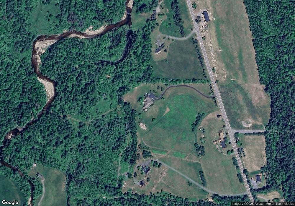
Map
Nearby Homes
- 25 Lafayette Rd
- 572 Wells Rd
- 1476 Profile Rd
- 359 Bickford Hill Rd
- 333 Sunset Hill Rd
- 00 Iron Foundry Rd Unit 153-6
- 106 Fox Hill Ln
- 112 Fox Hill Ln
- TBD Easton Rd
- 105 Valley View Rd
- 1196 Route 117
- 185 Notchway Dr
- 00 New Hampshire 117 Unit 2
- 1318 Route 117
- Map 8 Lot 22 Indian Pipe Rd
- 34 Foxglove Ln
- 143 Foxglove Ln
- 637 Hadley Rd
- Lot 15 Hadley Rd
- 0 Easton Valley Rd Unit 4-A 5058453
- 1333 Easton Rd
- 1302 Easton Rd
- 1424 Easton Rd
- 1366 Easton Rd
- 1300 Easton Rd
- 1375 Easton Rd
- 216 Delage Rd
- 81 Delage Rd
- 1437 Easton Rd
- 1532 Easton Rd
- 300 Delage Farm Rd
- 1588 Easton Rd
- 300 Delage Rd
- 944 Wells Rd
- 1549 Easton Rd
- 0 Raven Ln
- 0 Rte 116 Raven Ln Unit 4240299
- 1626 Easton Rd
- 1624 Easton Rd
- 197 Rockwood Rd