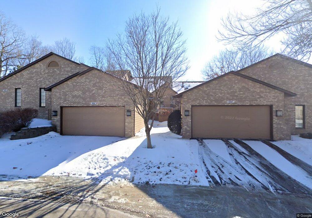
13331 Huntington Cir Saint Paul, MN 55124
Alimagnet NeighborhoodEstimated Value: $349,000 - $362,000
2
Beds
3
Baths
1,397
Sq Ft
$254/Sq Ft
Est. Value
About This Home
This home is located at 13331 Huntington Cir, Saint Paul, MN 55124 and is currently estimated at $354,704, approximately $253 per square foot. 13331 Huntington Cir is a home located in Dakota County with nearby schools including Westview Elementary School, Falcon Ridge Middle School, and Apple Valley Senior High School.
Ownership History
Date
Name
Owned For
Owner Type
Purchase Details
Closed on
Feb 27, 2020
Sold by
Fournier Jean
Bought by
Mahoney Roseanne
Current Estimated Value
Home Financials for this Owner
Home Financials are based on the most recent Mortgage that was taken out on this home.
Original Mortgage
$204,000
Outstanding Balance
$181,012
Interest Rate
3.6%
Mortgage Type
New Conventional
Estimated Equity
$173,692
Purchase Details
Closed on
Sep 30, 1999
Sold by
Jolesch Mark A and Jolesch Julie D
Bought by
Fournier Jean
Create a Home Valuation Report for This Property
The Home Valuation Report is an in-depth analysis detailing your home's value as well as a comparison with similar homes in the area
Home Values in the Area
Average Home Value in this Area
Purchase History
| Date | Buyer | Sale Price | Title Company |
|---|---|---|---|
| Mahoney Roseanne | $255,000 | Burnet Title | |
| Fournier Jean | $175,000 | -- |
Source: Public Records
Mortgage History
| Date | Status | Borrower | Loan Amount |
|---|---|---|---|
| Open | Mahoney Roseanne | $204,000 |
Source: Public Records
Tax History Compared to Growth
Tax History
| Year | Tax Paid | Tax Assessment Tax Assessment Total Assessment is a certain percentage of the fair market value that is determined by local assessors to be the total taxable value of land and additions on the property. | Land | Improvement |
|---|---|---|---|---|
| 2024 | $3,894 | $312,200 | $98,200 | $214,000 |
| 2023 | $3,894 | $347,500 | $96,100 | $251,400 |
| 2022 | $3,104 | $326,200 | $95,800 | $230,400 |
| 2021 | $3,332 | $275,500 | $83,300 | $192,200 |
| 2020 | $3,328 | $287,800 | $79,300 | $208,500 |
| 2019 | $2,897 | $279,500 | $75,500 | $204,000 |
| 2018 | $2,915 | $256,900 | $69,900 | $187,000 |
| 2017 | $3,090 | $248,000 | $64,800 | $183,200 |
| 2016 | $2,757 | $249,000 | $61,700 | $187,300 |
| 2015 | $2,460 | $205,612 | $55,833 | $149,779 |
| 2014 | -- | $184,248 | $50,596 | $133,652 |
| 2013 | -- | $156,126 | $44,092 | $112,034 |
Source: Public Records
Map
Nearby Homes
- 13345 Huntington Cir
- 13306 Huntington Cir
- 8776 134th St W
- 13591 Hollybrook Way
- 13101 Heritage Way
- 13599 Hollybrook Dr
- 13609 Hollybrook Dr
- 13613 Hollybrook Dr
- 13731 Hollybrook Cir
- 13727 Hollybrook Cir
- The Sophia Plan at Eagle Pointe - Townhomes
- The Amelia Plan at Eagle Pointe - Townhomes
- The Magnolia Plan at Eagle Pointe - Townhomes
- The Nolan Plan at Eagle Pointe - Townhomes
- 13751 Hollybrook Cir
- 13761 Hollybrook Cir
- 13820 Holyoke Path
- 451 Reflection Rd
- 14132 Heywood Path
- 13420 Gull Ct
- 13327 Huntington Cir
- 13335 Huntington Cir
- 13323 Huntington Cir
- 13337 Huntington Cir
- 13313 Huntington Cir
- 13341 Huntington Cir
- 13311 Huntington Cir
- 13330 Huntington Cir
- 13322 Huntington Cir
- 13309 Huntington Cir
- 13314 Huntington Cir
- 13349 Huntington Cir
- 13338 Huntington Cir
- 13307 Huntington Cir
- 13346 Huntington Cir
- 13354 Huntington Cir
- 13306 Huntington Cir
- 8543 134th St W
- 13371 Huntington Cir
- 13305 Huntington Cir