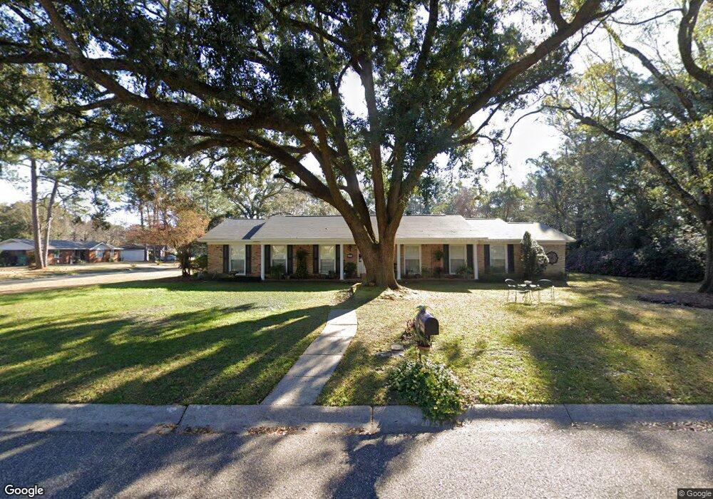
1335 Polaris Dr Mobile, AL 36693
Skyland Park NeighborhoodEstimated Value: $231,599 - $282,000
3
Beds
2
Baths
2,677
Sq Ft
$95/Sq Ft
Est. Value
About This Home
This home is located at 1335 Polaris Dr, Mobile, AL 36693 and is currently estimated at $254,900, approximately $95 per square foot. 1335 Polaris Dr is a home located in Mobile County with nearby schools including Kate Shepard Elementary School, Burns Middle School, and Murphy High School.
Ownership History
Date
Name
Owned For
Owner Type
Purchase Details
Closed on
Mar 27, 2012
Sold by
Spencer John W
Bought by
Nicholas Trina
Current Estimated Value
Create a Home Valuation Report for This Property
The Home Valuation Report is an in-depth analysis detailing your home's value as well as a comparison with similar homes in the area
Home Values in the Area
Average Home Value in this Area
Purchase History
| Date | Buyer | Sale Price | Title Company |
|---|---|---|---|
| Nicholas Trina | -- | None Available |
Source: Public Records
Tax History Compared to Growth
Tax History
| Year | Tax Paid | Tax Assessment Tax Assessment Total Assessment is a certain percentage of the fair market value that is determined by local assessors to be the total taxable value of land and additions on the property. | Land | Improvement |
|---|---|---|---|---|
| 2024 | $1,172 | $19,250 | $3,100 | $16,150 |
| 2023 | $1,166 | $16,740 | $2,750 | $13,990 |
| 2022 | $911 | $15,380 | $2,500 | $12,880 |
| 2021 | $911 | $15,380 | $2,500 | $12,880 |
| 2020 | $905 | $15,290 | $2,100 | $13,190 |
| 2019 | $932 | $15,740 | $2,100 | $13,640 |
| 2018 | $932 | $15,740 | $0 | $0 |
| 2017 | $932 | $15,740 | $0 | $0 |
| 2016 | $958 | $16,140 | $0 | $0 |
| 2013 | $797 | $16,800 | $0 | $0 |
Source: Public Records
Map
Nearby Homes
- 4270 Taurus Dr
- 4260 Aldebaran Way
- 1418 Polaris Dr
- 2862 Aldebaran Way W
- 2705 Woodcliff Dr E Unit 1
- 4857 Woodcliff Dr N
- 3155 Maudelayne Dr E
- 5217 Perin Rd
- 5114 Geoffrey Dr
- 5105 Geoffrey Dr
- 5116 Geoffrey Dr
- 5026 Burma Rd W
- 2813 Longleaf Dr
- 3075 Longleaf Dr
- 3105 Grishilde Dr
- 5504 Timberline Ridge
- 1212 Belle Chene Dr
- 4705 Sherry Ct
- 3401 Emelye Dr
- 5536 Cross Creek Dr
- 4279 Taurus Dr
- 1339 Polaris Dr
- 4282 Taurus Dr
- 1334 Polaris Dr
- 4275 Taurus Dr
- 1338 Polaris Dr
- 4278 Taurus Dr
- 1341 Polaris Dr
- 4304 Aldebaran Way
- 4271 Taurus Dr
- 4274 Taurus Dr
- 1323 Polaris Dr
- 4300 Aldebaran Way
- 1340 Polaris Dr
- 2905 Demetropolis Rd
- 2901 Demetropolis Rd
- 2909 Demetropolis Rd
- 4272 Aldebaran Way
- 1322 Polaris Dr
- 4267 Taurus Dr