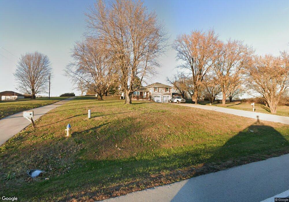
13382 Mcintyre Rd Leavenworth, KS 66048
Estimated Value: $351,109 - $367,000
3
Beds
2
Baths
1,318
Sq Ft
$274/Sq Ft
Est. Value
About This Home
This home is located at 13382 Mcintyre Rd, Leavenworth, KS 66048 and is currently estimated at $361,277, approximately $274 per square foot. 13382 Mcintyre Rd is a home located in Leavenworth County with nearby schools including Lansing Elementary School, Lansing Middle 6-8, and Lansing High 9-12.
Ownership History
Date
Name
Owned For
Owner Type
Purchase Details
Closed on
Apr 1, 1994
Bought by
Holleron Michael F and Holleron Lisa A
Current Estimated Value
Home Financials for this Owner
Home Financials are based on the most recent Mortgage that was taken out on this home.
Original Mortgage
$157,426
Outstanding Balance
$79,535
Interest Rate
6%
Mortgage Type
FHA
Estimated Equity
$281,742
Create a Home Valuation Report for This Property
The Home Valuation Report is an in-depth analysis detailing your home's value as well as a comparison with similar homes in the area
Home Values in the Area
Average Home Value in this Area
Purchase History
| Date | Buyer | Sale Price | Title Company |
|---|---|---|---|
| Holleron Michael F | $85,000 | -- |
Source: Public Records
Mortgage History
| Date | Status | Borrower | Loan Amount |
|---|---|---|---|
| Open | Holleron Michael F | $157,426 | |
| Closed | Holleron Michael F | $81,800 |
Source: Public Records
Tax History Compared to Growth
Tax History
| Year | Tax Paid | Tax Assessment Tax Assessment Total Assessment is a certain percentage of the fair market value that is determined by local assessors to be the total taxable value of land and additions on the property. | Land | Improvement |
|---|---|---|---|---|
| 2025 | $3,894 | $36,127 | $8,121 | $28,006 |
| 2024 | $3,588 | $34,738 | $7,430 | $27,308 |
| 2023 | $3,588 | $33,353 | $7,430 | $25,923 |
| 2022 | $3,138 | $28,175 | $6,354 | $21,821 |
| 2021 | $2,641 | $23,344 | $5,497 | $17,847 |
| 2020 | $2,532 | $22,022 | $5,277 | $16,745 |
| 2019 | $2,537 | $22,023 | $5,096 | $16,927 |
| 2018 | $2,420 | $21,034 | $4,176 | $16,858 |
| 2017 | $2,284 | $19,976 | $4,002 | $15,974 |
| 2016 | $2,142 | $18,791 | $3,946 | $14,845 |
| 2015 | $2,044 | $18,016 | $3,946 | $14,070 |
| 2014 | $1,947 | $17,492 | $3,946 | $13,546 |
Source: Public Records
Map
Nearby Homes
- 13788 McIntyre2 Rd
- 13788 McIntyre1 Rd
- 13788 Mcintyre Rd
- 24431 139th St
- 13965 Mc Intyre Rd
- Lot 2 139th St
- 24131 126th St
- 131 Rock Creek Loop
- 23802 140th St
- 115 W Gilman Rd
- 705 Rock Creek Dr
- 901 S Main St
- 875 Clearview Dr
- 833 Rock Creek Dr
- 922 Southfork St
- 1221 S Desoto Rd
- 104 Olive St
- 722 Bittersweet Rd
- 624 S Bittersweet Ln
- 811 4-H Rd
- 13412 Mcintyre Rd
- 13396 Mcintyre Rd
- 0 Mcintyre Rd Unit 1714253
- Lot 3 Mcintyre Rd
- Lot 2 Mcintyre Rd
- 0 Mcintyre Rd Unit 1782188
- 13209 Mcintyre Rd
- 13262 Mcintyre Rd
- 13697 Mcintyre Rd
- 13114 Mcintyre Rd
- 24303 131st St
- 13068 Mcintyre Rd
- 13877 Mcintyre Rd
- 13879 Mcintyre Rd
- 24314 131st St
- 13881 Mcintyre Rd
- 24169 131st St
- 13883 Mcintyre Rd
- 13794 Mcintyre Rd
- 12909 Mcintyre Rd