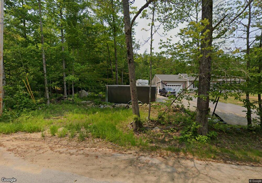
134 Asby Rd Canterbury, NH 03224
Estimated Value: $578,228 - $666,000
4
Beds
2
Baths
3,446
Sq Ft
$183/Sq Ft
Est. Value
About This Home
This home is located at 134 Asby Rd, Canterbury, NH 03224 and is currently estimated at $632,057, approximately $183 per square foot. 134 Asby Rd is a home located in Merrimack County with nearby schools including Canterbury Elementary School, Belmont Middle School, and Belmont High School.
Ownership History
Date
Name
Owned For
Owner Type
Purchase Details
Closed on
Aug 2, 2024
Sold by
Hassan Linda M
Bought by
Seidman Brett and Manori Aneela
Current Estimated Value
Home Financials for this Owner
Home Financials are based on the most recent Mortgage that was taken out on this home.
Original Mortgage
$377,000
Outstanding Balance
$372,734
Interest Rate
6.87%
Mortgage Type
Purchase Money Mortgage
Estimated Equity
$259,323
Create a Home Valuation Report for This Property
The Home Valuation Report is an in-depth analysis detailing your home's value as well as a comparison with similar homes in the area
Home Values in the Area
Average Home Value in this Area
Purchase History
| Date | Buyer | Sale Price | Title Company |
|---|---|---|---|
| Seidman Brett | $580,000 | None Available | |
| Seidman Brett | $580,000 | None Available |
Source: Public Records
Mortgage History
| Date | Status | Borrower | Loan Amount |
|---|---|---|---|
| Open | Seidman Brett | $377,000 | |
| Closed | Seidman Brett | $377,000 |
Source: Public Records
Tax History Compared to Growth
Tax History
| Year | Tax Paid | Tax Assessment Tax Assessment Total Assessment is a certain percentage of the fair market value that is determined by local assessors to be the total taxable value of land and additions on the property. | Land | Improvement |
|---|---|---|---|---|
| 2024 | $7,944 | $350,267 | $96,267 | $254,000 |
| 2023 | $7,357 | $350,325 | $96,325 | $254,000 |
| 2022 | $7,292 | $350,585 | $96,585 | $254,000 |
| 2021 | $7,191 | $350,617 | $96,617 | $254,000 |
| 2020 | $6,435 | $233,220 | $71,920 | $161,300 |
| 2019 | $6,502 | $233,287 | $71,987 | $161,300 |
| 2018 | $6,199 | $233,309 | $72,009 | $161,300 |
| 2017 | $6,062 | $233,338 | $72,038 | $161,300 |
| 2016 | $5,820 | $233,280 | $71,980 | $161,300 |
| 2015 | $5,785 | $217,806 | $68,306 | $149,500 |
| 2014 | $5,892 | $217,814 | $68,314 | $149,500 |
| 2013 | $5,691 | $217,717 | $72,317 | $145,400 |
Source: Public Records
Map
Nearby Homes
- 1005 New Hampshire 106
- 55 Whitehouse Rd
- 22 Abberton Rd
- 143 Shaker Rd
- 306 Baptist Hill Rd
- 7006 Lake St
- 19 Sherwood Forest Dr
- 16 Sherwood Forest Dr
- 287 Clough Pond Rd
- 000 Baptist Rd Unit 1
- 47 Clearview Dr
- Map 132 Lot 115 Arrowhead Ln
- 427 Shaker Rd
- 9 Warbonnet Ln
- 19 Abnaki Path
- 153 Lakeshore Dr
- 174 Lakeshore Dr
- 18 Shady Ln
- 4 Penobscott Path
- 000 Pocumtuck Way Unit 35