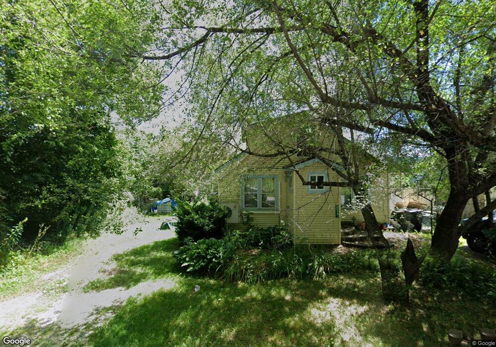
134 Dorr Dr Rutland, VT 05701
Estimated Value: $134,000 - $205,000
--
Bed
--
Bath
--
Sq Ft
6,098
Sq Ft Lot
About This Home
This home is located at 134 Dorr Dr, Rutland, VT 05701 and is currently estimated at $164,591. 134 Dorr Dr is a home located in Rutland County with nearby schools including Rutland Intermediate School, Rutland Middle School, and Rutland Senior High School.
Ownership History
Date
Name
Owned For
Owner Type
Purchase Details
Closed on
Mar 21, 2012
Sold by
Estate Of Graeme A Rockefeller
Bought by
Tift Michelle R and Depalo Thomas R
Current Estimated Value
Purchase Details
Closed on
Feb 24, 2000
Sold by
Us Dept Of Hud
Bought by
Rockefeller Graeme
Purchase Details
Closed on
Jun 23, 1999
Sold by
Credit Based Asset Serv & Securitiza
Purchase Details
Closed on
Apr 12, 1999
Sold by
Gould Michael and Gould Margaret
Bought by
Credit Based Asset Svcg & Securitazation
Purchase Details
Closed on
Aug 5, 1991
Sold by
Gould Michael L
Bought by
Gould Margaret M and Gould Michael L
Purchase Details
Closed on
Jul 18, 1991
Sold by
Gould Glendean B
Bought by
Gould Michael L
Create a Home Valuation Report for This Property
The Home Valuation Report is an in-depth analysis detailing your home's value as well as a comparison with similar homes in the area
Home Values in the Area
Average Home Value in this Area
Purchase History
| Date | Buyer | Sale Price | Title Company |
|---|---|---|---|
| Tift Michelle R | $38,000 | -- | |
| Rockefeller Graeme | $40,000 | -- | |
| Rockefeller Graeme | $40,000 | -- | |
| -- | -- | -- | |
| -- | -- | -- | |
| Credit Based Asset Svcg & Securitazation | -- | -- | |
| Gould Margaret M | -- | -- | |
| Gould Michael L | -- | -- | |
| Gould Michael L | -- | -- | |
| -- | -- | -- | |
| Credit Based Asset Svcg & Securitazation | -- | -- | |
| Gould Margaret M | -- | -- |
Source: Public Records
Tax History Compared to Growth
Tax History
| Year | Tax Paid | Tax Assessment Tax Assessment Total Assessment is a certain percentage of the fair market value that is determined by local assessors to be the total taxable value of land and additions on the property. | Land | Improvement |
|---|---|---|---|---|
| 2024 | -- | $73,400 | $28,400 | $45,000 |
| 2023 | -- | $73,400 | $28,400 | $45,000 |
| 2022 | $2,213 | $65,700 | $28,400 | $37,300 |
| 2021 | $2,241 | $65,700 | $28,400 | $37,300 |
| 2020 | $2,156 | $65,700 | $28,400 | $37,300 |
| 2019 | $2,125 | $65,700 | $28,400 | $37,300 |
| 2018 | $2,131 | $65,700 | $28,400 | $37,300 |
| 2017 | $2,070 | $65,700 | $28,400 | $37,300 |
| 2016 | $2,022 | $65,700 | $28,400 | $37,300 |
Source: Public Records
Map
Nearby Homes