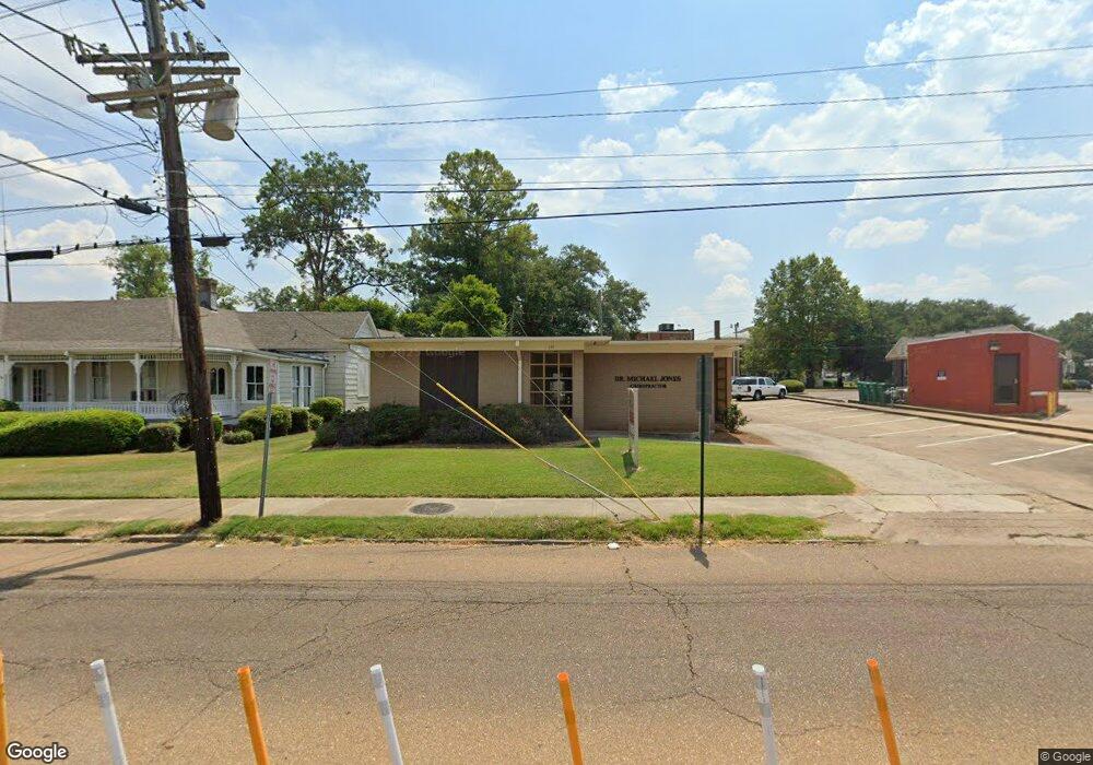
134 E Peace St Canton, MS 39046
Estimated Value: $332,513
About This Home
This home is located at 134 E Peace St, Canton, MS 39046 and is currently estimated at $332,513, approximately $195 per square foot. 134 E Peace St is a home located in Madison County with nearby schools including Canton High School, Sr1 College Prep & STEM Academy, and Canton Academy.
Ownership History
We collect this data history from publicly available records. To have your information removed, we recommend requesting removal directly through your county’s website.
Purchase Details
Home Financials for this Owner
Home Financials are based on the most recent Mortgage that was taken out on this home.Home Values in the Area
Average Home Value in this Area
Purchase History
We collect this data history from publicly available records. To have your information removed, we recommend requesting removal directly through your county’s website.
| Date | Buyer | Sale Price | Title Company |
|---|---|---|---|
| -- | None Available |
Mortgage History
We collect this data history from publicly available records. To have your information removed, we recommend requesting removal directly through your county’s website.
| Date | Status | Borrower | Loan Amount |
|---|---|---|---|
| Closed | $144,194 |
Tax History
We collect this data history from publicly available records. To have your information removed, we recommend requesting removal directly through your county’s website.
| Year | Tax Paid | Tax Assessment Tax Assessment Total Assessment is a certain percentage of the fair market value that is determined by local assessors to be the total taxable value of land and additions on the property. | Land | Improvement |
|---|---|---|---|---|
| 2025 | $2,574 | $16,519 | $0 | $0 |
| 2024 | $2,574 | $16,519 | $0 | $0 |
| 2023 | $2,430 | $16,519 | $0 | $0 |
| 2022 | $2,461 | $16,519 | $0 | $0 |
| 2021 | $2,260 | $16,100 | $0 | $0 |
| 2020 | $2,387 | $16,100 | $0 | $0 |
| 2019 | $2,387 | $16,100 | $0 | $0 |
| 2018 | $2,387 | $16,100 | $0 | $0 |
| 2017 | $2,362 | $15,932 | $0 | $0 |
| 2016 | $2,336 | $15,932 | $0 | $0 |
| 2015 | -- | $15,932 | $0 | $0 |
| 2014 | $2,237 | $15,932 | $0 | $0 |
Map
- 0 Mississippi 16
- 138 E Fulton St
- 217 E Center St
- 108 E North St
- 221 E Center St
- 231 Dobson Ave
- 325 Belview Ave
- 3267 S Liberty St
- 140 E Semmes St
- Lot 23 Neptune Shore
- 366 E Center St
- 0 W Academy St
- 441 E Peace St
- 594 Lincoln St
- 366 N Canal St
- 341 Miller St
- 718 George Washington Ave
- 633 Brooks St
- 635 Brooks St
- 3541 N Liberty St
- 160 E Peace St
- 182 E Peace St
- 143 E Fulton St
- 3336 N Liberty St
- 3336 N Liberty St Unit Suite A
- 120 Highway 16 None Unit acres on
- 5 Mt Pilgrim Rd
- 0 Mt Pilgrim Rd Unit Lot 5 187687
- 0 Mt Pilgrim Rd Unit Lot 3 187683
- 0 Mt Pilgrim Rd Unit Lot 2 187681
- 0 Mt Pilgrim Rd Unit Lot 1 187679
- 0 Loring Rd Unit 206299
- 0 Mt Pilgrim Rd Unit 215265
- 1 Old Hwy 17
- 6 Mt Pilgrim Rd Unit 6
- 5 Mt Pilgrim Rd Unit 5
- 4 Mt Pilgrim Rd Unit 4
- 3 Mt Pilgrim Rd Unit 3
- 1 Mt Pilgrim Rd Unit 1
- 2 Mt Pilgrim Rd Unit 2
Ask me questions while you tour the home.