134 Fieldstone Dr Unit 134 Londonderry, NH 03053
Estimated Value: $352,000 - $391,000
3
Beds
2
Baths
1,320
Sq Ft
$280/Sq Ft
Est. Value
About This Home
This home is located at 134 Fieldstone Dr Unit 134, Londonderry, NH 03053 and is currently estimated at $369,729, approximately $280 per square foot. 134 Fieldstone Dr Unit 134 is a home located in Rockingham County with nearby schools including Matthew Thornton Elementary School, Londonderry Middle School, and Londonderry Senior High School.
Ownership History
Date
Name
Owned For
Owner Type
Purchase Details
Closed on
May 12, 2010
Sold by
Household Finance Corp
Bought by
Lacroix Lori and Lynch Michael
Current Estimated Value
Home Financials for this Owner
Home Financials are based on the most recent Mortgage that was taken out on this home.
Original Mortgage
$118,792
Outstanding Balance
$78,916
Interest Rate
4.87%
Mortgage Type
FHA
Estimated Equity
$290,813
Purchase Details
Closed on
Nov 3, 2009
Sold by
Bradley John A
Bought by
Household Finance Corp
Create a Home Valuation Report for This Property
The Home Valuation Report is an in-depth analysis detailing your home's value as well as a comparison with similar homes in the area
Home Values in the Area
Average Home Value in this Area
Purchase History
| Date | Buyer | Sale Price | Title Company |
|---|---|---|---|
| Lacroix Lori | $121,000 | -- | |
| Household Finance Corp | $100,100 | -- |
Source: Public Records
Mortgage History
| Date | Status | Borrower | Loan Amount |
|---|---|---|---|
| Open | Household Finance Corp | $118,792 |
Source: Public Records
Tax History Compared to Growth
Tax History
| Year | Tax Paid | Tax Assessment Tax Assessment Total Assessment is a certain percentage of the fair market value that is determined by local assessors to be the total taxable value of land and additions on the property. | Land | Improvement |
|---|---|---|---|---|
| 2024 | $5,034 | $311,900 | $0 | $311,900 |
| 2023 | $4,881 | $311,900 | $0 | $311,900 |
| 2022 | $4,511 | $244,100 | $0 | $244,100 |
| 2021 | $4,487 | $244,100 | $0 | $244,100 |
| 2020 | $4,108 | $204,300 | $0 | $204,300 |
| 2019 | $3,961 | $204,300 | $0 | $204,300 |
| 2018 | $3,375 | $154,800 | $0 | $154,800 |
| 2017 | $3,345 | $154,800 | $0 | $154,800 |
| 2016 | $3,328 | $154,800 | $0 | $154,800 |
| 2015 | $3,254 | $154,800 | $0 | $154,800 |
| 2014 | $3,265 | $154,800 | $0 | $154,800 |
| 2011 | -- | $168,800 | $0 | $168,800 |
Source: Public Records
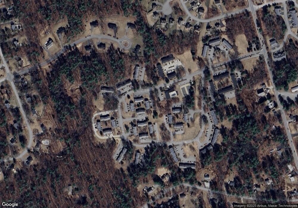
Map
Nearby Homes
- 118 Fieldstone Dr Unit 118
- 193 Fieldstone Dr
- 193 Fieldstone Dr Unit 193
- 169 Fieldstone Dr
- 57 Hardy Rd
- 35 Red Deer Rd
- 224 High Range Rd
- 10 Judy Dr
- 11 Elise Ave Unit Lot 91
- 38 Bartley Hill Rd
- 17 Welch Rd
- 20 Wedgewood Dr
- 50 Bartley Hill Rd
- 27 Buckingham Dr
- 32 Noyes Rd
- 36 Perkins Rd
- 75 Rockingham Rd
- 4 Crestview Cir Unit 119
- 15 Harvey Rd
- 6 Sugar Plum Ln
- 133 Fieldstone Dr Unit 133
- 136 Fieldstone Dr
- 140 Fieldstone Dr
- 140 Fieldstone Dr Unit 140
- 139 Fieldstone Dr Unit 139
- 129 Fieldstone Dr Unit 87
- 129 Fieldstone Dr Unit 129
- 129 Fieldstone Dr
- 138 Fieldstone Dr Unit 138
- 138 Fieldstone Dr
- 131 Fieldstone Dr
- 132 Fieldstone Dr
- 125 Fieldstone Dr
- 126 Fieldstone Dr Unit 126
- 127 Fieldstone Dr
- 127 Fieldstone Dr Unit 127
- 128 Fieldstone Dr
- 113 Fieldstone Dr Unit 113
- 114 Fieldstone Dr Unit 114
- 114 Fieldstone Dr