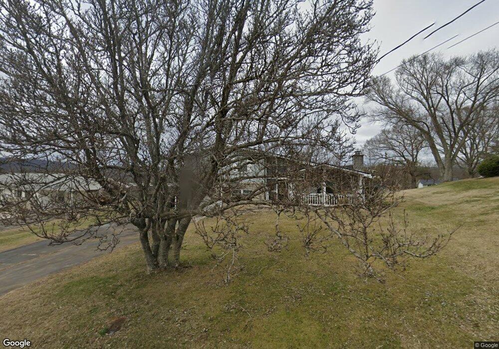
134 Forrest Rd Fall Branch, TN 37656
Estimated Value: $203,382 - $281,000
Studio
1
Bath
1,200
Sq Ft
$195/Sq Ft
Est. Value
About This Home
This home is located at 134 Forrest Rd, Fall Branch, TN 37656 and is currently estimated at $234,346, approximately $195 per square foot. 134 Forrest Rd is a home located in Washington County with nearby schools including Fall Branch Elementary School and Daniel Boone High School.
Ownership History
Date
Name
Owned For
Owner Type
Purchase Details
Closed on
Dec 17, 2015
Sold by
Pickens Jacqueline
Bought by
Anderson Caleb C
Current Estimated Value
Home Financials for this Owner
Home Financials are based on the most recent Mortgage that was taken out on this home.
Original Mortgage
$78,149
Outstanding Balance
$62,527
Interest Rate
3.98%
Mortgage Type
New Conventional
Estimated Equity
$171,819
Create a Home Valuation Report for This Property
The Home Valuation Report is an in-depth analysis detailing your home's value as well as a comparison with similar homes in the area
Home Values in the Area
Average Home Value in this Area
Purchase History
| Date | Buyer | Sale Price | Title Company |
|---|---|---|---|
| Anderson Caleb C | $76,000 | -- |
Source: Public Records
Mortgage History
| Date | Status | Borrower | Loan Amount |
|---|---|---|---|
| Open | Anderson Caleb C | $78,149 |
Source: Public Records
Tax History
| Year | Tax Paid | Tax Assessment Tax Assessment Total Assessment is a certain percentage of the fair market value that is determined by local assessors to be the total taxable value of land and additions on the property. | Land | Improvement |
|---|---|---|---|---|
| 2025 | $923 | $53,950 | $4,425 | $49,525 |
| 2024 | $923 | $53,950 | $4,425 | $49,525 |
| 2022 | $685 | $31,875 | $3,625 | $28,250 |
| 2021 | $685 | $31,875 | $3,625 | $28,250 |
| 2020 | $685 | $31,875 | $3,625 | $28,250 |
| 2019 | $657 | $31,875 | $3,625 | $28,250 |
| 2018 | $657 | $27,600 | $3,625 | $23,975 |
| 2017 | $657 | $27,600 | $3,625 | $23,975 |
| 2016 | $657 | $27,600 | $3,625 | $23,975 |
| 2015 | $546 | $27,600 | $3,625 | $23,975 |
| 2014 | $546 | $27,600 | $3,625 | $23,975 |
Source: Public Records
Map
Nearby Homes
- 145 Morgan Ln
- 2145 Tennessee 93
- 238 Cherry Ln
- 207 Hermosa Dr
- Lot 6 Tbd Tennessee 93
- Lot 4 Tbd Tennessee 93
- Lot 5 Tbd Tennessee 93
- Lot 2 Tbd Tennessee 93
- Lot 3 Tbd Tennessee 93
- Lot 1 Tbd Tennessee 93
- 211 Sunny Hill Ct
- TBD Tennessee 93
- 137 Crestview Dr
- Tbd Oak Glen Cir
- Lots 3-4 Double Springs Rd
- Lot 2 Double Springs Rd
- 176 Moulton Rd
- 0 Jearoldstown Rd Unit 40/41
- 901 Old Blairs Gap Rd
- 704 Church Hill Dr
- 132 Forrest Rd
- 138 Forrest Rd
- 135 Forrest Rd
- 139 Forrest Rd
- 141 Forrest Rd
- 144 Forrest Rd
- 143 Forrest Rd
- 127 Forrest Rd
- 123 Linda Heights
- 123 Linda Heights
- 124 Forrest Rd
- 153 Warren St
- 2021 Tennessee 93
- 154 Forrest Rd
- 149 Forrest Rd
- 2021 Highway 93
- 2021 Highway 93
- 121 Linda Heights
- 116 Forrest Rd
- 2025 Highway 93
Your Personal Tour Guide
Ask me questions while you tour the home.