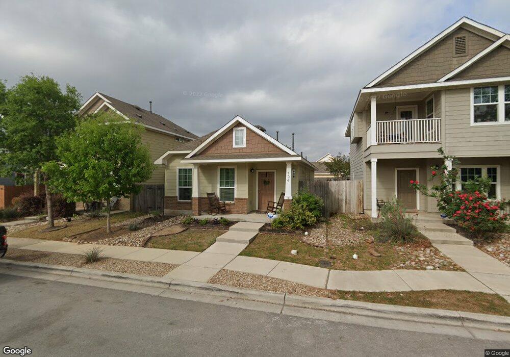
134 Fort Griffin Dr San Marcos, TX 78666
Blanco River District NeighborhoodEstimated Value: $232,000 - $300,000
3
Beds
2
Baths
1,176
Sq Ft
$222/Sq Ft
Est. Value
About This Home
This home is located at 134 Fort Griffin Dr, San Marcos, TX 78666 and is currently estimated at $261,060, approximately $221 per square foot. 134 Fort Griffin Dr is a home located in Hays County with nearby schools including Blanco Vista Elementary School, Laura B Wallace Middle School, and Jack C Hays High School.
Ownership History
Date
Name
Owned For
Owner Type
Purchase Details
Closed on
Jan 6, 2017
Sold by
Frady Zachary H and Frady Mary E
Bought by
Rodriguez Lisa
Current Estimated Value
Home Financials for this Owner
Home Financials are based on the most recent Mortgage that was taken out on this home.
Original Mortgage
$168,884
Outstanding Balance
$138,817
Interest Rate
4.03%
Mortgage Type
FHA
Estimated Equity
$122,243
Create a Home Valuation Report for This Property
The Home Valuation Report is an in-depth analysis detailing your home's value as well as a comparison with similar homes in the area
Home Values in the Area
Average Home Value in this Area
Purchase History
| Date | Buyer | Sale Price | Title Company |
|---|---|---|---|
| Rodriguez Lisa | -- | Corridor Title Co |
Source: Public Records
Mortgage History
| Date | Status | Borrower | Loan Amount |
|---|---|---|---|
| Open | Rodriguez Lisa | $168,884 |
Source: Public Records
Tax History Compared to Growth
Tax History
| Year | Tax Paid | Tax Assessment Tax Assessment Total Assessment is a certain percentage of the fair market value that is determined by local assessors to be the total taxable value of land and additions on the property. | Land | Improvement |
|---|---|---|---|---|
| 2025 | $4,481 | $236,870 | $81,420 | $155,450 |
| 2024 | $4,481 | $260,310 | $88,500 | $171,810 |
| 2023 | $5,246 | $242,177 | $88,500 | $205,190 |
| 2022 | $5,188 | $220,161 | $75,000 | $196,550 |
| 2021 | $5,051 | $200,146 | $42,000 | $159,010 |
| 2020 | $4,214 | $181,951 | $42,000 | $145,790 |
| 2019 | $4,450 | $165,410 | $31,500 | $133,910 |
| 2018 | $4,299 | $159,360 | $31,500 | $127,860 |
| 2017 | $3,916 | $148,890 | $31,500 | $117,390 |
| 2016 | $3,698 | $140,620 | $31,500 | $109,120 |
| 2015 | $789 | $129,250 | $31,500 | $97,750 |
Source: Public Records
Map
Nearby Homes
- 3210 Jacob Ln
- 126 Preston Trail
- 318 Leather Oak Loop
- 234 Rock Bluff Ln
- 105 Leather Oak Loop
- 226 Pincea Place
- 228 Durata
- 2836 Jacob Ln
- 214 Alford St
- 134 Friendship Oak Dr
- 3105 Brand Iron Dr
- 4527 Royal Oak Blvd
- 106 Mossycup Dr
- 107 Friendship Oak Dr
- 235 Hay Barn
- 120 Witchhazel Way
- 102 Wainscot Oak Way
- 2939 Brand Iron Dr
- 150 Angel Oak Way
- 702 Silo St
- 130 Fort Griffin Dr
- 138 Fort Griffin Dr
- 142 Fort Griffin Dr
- 126 Fort Griffin
- 146 Fort Griffin Dr
- 122 Fort Griffin Dr
- 137 Preston Trail
- 150 Fort Griffin Dr
- 129 Preston Trail
- 145 Preston Trail
- 125 Preston Trail
- 141 Preston Trail
- 125 Fort Griffin Dr
- 114 Fort Griffin Dr
- 154 Fort Griffin Dr
- 121 Fort Griffin Dr
- 133 Preston Trail
- 121 Preston Trail
- 129 Fort Griffin Dr
- 117 Fort Griffin Dr