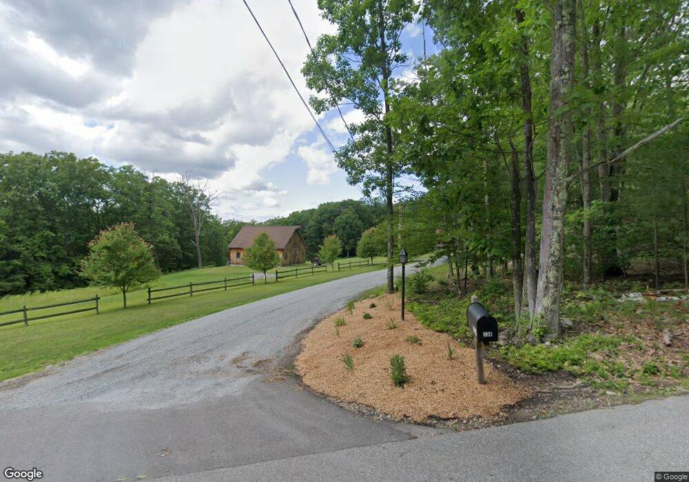
134 Leach Hill Rd Goffstown, NH 03045
Estimated Value: $563,000 - $687,130
3
Beds
3
Baths
1,972
Sq Ft
$326/Sq Ft
Est. Value
About This Home
This home is located at 134 Leach Hill Rd, Goffstown, NH 03045 and is currently estimated at $642,033, approximately $325 per square foot. 134 Leach Hill Rd is a home with nearby schools including Mountain View Middle School and Goffstown High School.
Ownership History
Date
Name
Owned For
Owner Type
Purchase Details
Closed on
May 3, 2021
Sold by
R & H Watson Ret
Bought by
Vachon Matthew V and Vachon Stacy
Current Estimated Value
Purchase Details
Closed on
Jun 20, 2019
Sold by
Watson Richard R and Watson Hope P
Bought by
R & H Watson Ret
Purchase Details
Closed on
Mar 5, 1997
Sold by
Fam Catherine M Meyer
Bought by
Watson Richard R and Watson Hope P
Create a Home Valuation Report for This Property
The Home Valuation Report is an in-depth analysis detailing your home's value as well as a comparison with similar homes in the area
Home Values in the Area
Average Home Value in this Area
Purchase History
| Date | Buyer | Sale Price | Title Company |
|---|---|---|---|
| Vachon Matthew V | $475,000 | None Available | |
| R & H Watson Ret | -- | -- | |
| Watson Richard R | $36,500 | -- |
Source: Public Records
Mortgage History
| Date | Status | Borrower | Loan Amount |
|---|---|---|---|
| Previous Owner | Watson Richard R | $279,000 | |
| Previous Owner | Watson Richard R | $300,000 | |
| Previous Owner | Watson Richard R | $150,000 |
Source: Public Records
Tax History Compared to Growth
Tax History
| Year | Tax Paid | Tax Assessment Tax Assessment Total Assessment is a certain percentage of the fair market value that is determined by local assessors to be the total taxable value of land and additions on the property. | Land | Improvement |
|---|---|---|---|---|
| 2024 | $10,743 | $525,600 | $181,000 | $344,600 |
| 2023 | $9,856 | $522,600 | $181,000 | $341,600 |
| 2022 | $9,245 | $351,400 | $118,400 | $233,000 |
| 2021 | $8,722 | $351,400 | $118,400 | $233,000 |
| 2020 | $8,727 | $351,600 | $118,600 | $233,000 |
| 2019 | $6,207 | $351,600 | $118,600 | $233,000 |
| 2018 | $6,540 | $351,600 | $118,600 | $233,000 |
| 2017 | $8,273 | $301,700 | $97,600 | $204,100 |
| 2016 | $7,971 | $301,600 | $97,500 | $204,100 |
| 2015 | $8,068 | $286,500 | $83,600 | $202,900 |
| 2014 | $7,736 | $286,500 | $83,600 | $202,900 |
Source: Public Records
Map
Nearby Homes
- 111 Bog Brook Rd
- 16 Palmer Rd
- 25 Pleasant St
- 7 Arrowwood Rd
- 12 S Mast St
- 39 S Mast St
- 21A Apple Tree Dr
- 120 S Mast St
- 718 Bedford Rd
- 99 Elm St
- 152 S Mast St
- 19 Carriage Rd
- 914 Back Mountain Rd
- 137 Elm St
- Lot 26 Sawmill Ln
- 26 Sawmill Ln Unit 29
- 88 Saunders Rd
- 34 Lull Rd
- 22 Winter Hill Rd
- 99 Cambridge Rd
- Lot_2 Serri Unit 4-25-4-2
- Lot_1 Serri Unit 4-25-4-1
- 4 Serri Ln Unit 4-25-4
- 4 Serri Ln
- 3 Serri Dr
- 3 Serri Dr Unit 4-25-4
- 106 Leach Hill Rd
- LOT_4H Serri Unit 4-25-4
- Lot_4L Serri Unit 4-25-4
- 4 Serri Dr
- 9 Serri Dr
- 9 Serri Ln
- 9 Serri Ln
- 133 Leach Hill Rd
- 105 Leach Hill Rd
- 94 Leach Hill Rd
- 0 Leach Hill Rd
- 101 Leach Hill Rd
- 0 Serri Dr Unit 4-25-4, 4-25-4-2
- 0 Serri Dr Unit 4-25-4, 4-25-4-1, 4-