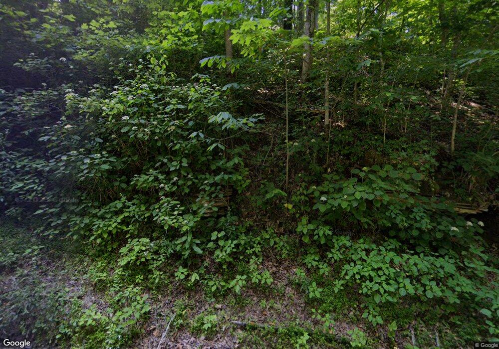
134 Marilyns End Ln Beechgrove, TN 37018
Estimated Value: $234,358 - $265,000
--
Bed
1
Bath
984
Sq Ft
$258/Sq Ft
Est. Value
About This Home
This home is located at 134 Marilyns End Ln, Beechgrove, TN 37018 and is currently estimated at $253,840, approximately $257 per square foot. 134 Marilyns End Ln is a home located in Coffee County with nearby schools including Deerfield Elementary School, Coffee County Middle School, and Coffee County Central High School.
Ownership History
Date
Name
Owned For
Owner Type
Purchase Details
Closed on
Apr 3, 2019
Sold by
Welin Robert
Bought by
Cmj Develcpments Llc
Current Estimated Value
Purchase Details
Closed on
Jun 4, 2010
Sold by
Scott Lynn Renee
Bought by
Welin Robert
Purchase Details
Closed on
Jun 14, 2004
Sold by
Nelius Craig M
Bought by
Welin Robert C
Home Financials for this Owner
Home Financials are based on the most recent Mortgage that was taken out on this home.
Original Mortgage
$72,750
Interest Rate
6.09%
Purchase Details
Closed on
Nov 20, 2000
Sold by
Romasco David A and Romasco Donna
Bought by
Nelius Craig M and Nelius Leslee B
Home Financials for this Owner
Home Financials are based on the most recent Mortgage that was taken out on this home.
Original Mortgage
$80,275
Interest Rate
7.82%
Purchase Details
Closed on
Jan 21, 2000
Sold by
Romasco David A
Bought by
Burks Clayton and Burks Gail
Create a Home Valuation Report for This Property
The Home Valuation Report is an in-depth analysis detailing your home's value as well as a comparison with similar homes in the area
Home Values in the Area
Average Home Value in this Area
Purchase History
| Date | Buyer | Sale Price | Title Company |
|---|---|---|---|
| Cmj Develcpments Llc | -- | Foundation T&E Series Llc | |
| Welin Robert | -- | -- | |
| Welin Robert C | $97,000 | -- | |
| Nelius Craig M | $84,500 | -- | |
| Burks Clayton | $68,000 | -- |
Source: Public Records
Mortgage History
| Date | Status | Borrower | Loan Amount |
|---|---|---|---|
| Previous Owner | Burks Clayton | $72,750 | |
| Previous Owner | Burks Clayton | $80,275 |
Source: Public Records
Tax History Compared to Growth
Tax History
| Year | Tax Paid | Tax Assessment Tax Assessment Total Assessment is a certain percentage of the fair market value that is determined by local assessors to be the total taxable value of land and additions on the property. | Land | Improvement |
|---|---|---|---|---|
| 2024 | $954 | $40,925 | $20,875 | $20,050 |
| 2023 | $954 | $40,925 | $0 | $0 |
| 2022 | $954 | $40,925 | $20,875 | $20,050 |
| 2021 | $843 | $28,750 | $13,475 | $15,275 |
| 2020 | $843 | $28,750 | $13,475 | $15,275 |
| 2019 | $800 | $28,750 | $13,475 | $15,275 |
| 2018 | $801 | $28,775 | $13,500 | $15,275 |
| 2017 | $765 | $23,450 | $10,350 | $13,100 |
| 2016 | $765 | $23,450 | $10,350 | $13,100 |
| 2015 | $765 | $23,450 | $10,350 | $13,100 |
| 2014 | $765 | $23,457 | $0 | $0 |
Source: Public Records
Map
Nearby Homes
- 2629 Jernigans Branch Rd
- 1634 Gilley Hill Rd
- 757 Cheyenne Cir
- 0 Paul Harrell Rd
- 0 Woody End Ln
- 1790 Tolbert Hollow Rd
- 663 Lakeshore Dr
- 0 Pin Oak Run
- Lot 10 Spring Cir
- 10 Spring Cir
- 0 Rivendell Unit RTC2540081
- 0 Rivendell Unit RTC2539996
- 0 Cheyenne Cir
- 0 Opossum Paw Rd
- 6 Dickens Hill Rd
- 826 Norton Branch Rd
- 93 Pawnee Dr
- 46 Lakeshore Dr
- 0 Bull Run
- 57 Stonewall Pike
- 2040 Jernigans Branch Rd
- 2630 Jernigans Branch Rd
- 2331 Jernigans Branch Rd
- 2720 Jernigans Branch Rd
- 1722 Jernigans Branch Rd
- 264 Shady Hollow Ln
- 1965 Jernigans Branch Rd
- 263 Shady Hollow Ln
- 2906 Jernigans Branch Rd
- 2161 Paul Harrell Rd
- 324 Shady Hollow Ln
- 2970 Jernigans Branch Rd
- 1690 Jernigans Branch Rd
- 1999 Paul Harrell Rd
- 1919 Paul Harrell Rd
- 3006 Jernigans Branch Rd
- 1631 Jernigans Branch Rd
- 2547 Paul Harrell Rd
- 1918 Paul Harrell Rd
- 2397 Paul Harrell Rd
