134 Rook Moore Dr Mendenhall, MS 39114
Estimated Value: $162,000 - $434,784
Studio
--
Bath
669
Sq Ft
$441/Sq Ft
Est. Value
About This Home
This home is located at 134 Rook Moore Dr, Mendenhall, MS 39114 and is currently estimated at $294,696, approximately $440 per square foot. 134 Rook Moore Dr is a home located in Simpson County with nearby schools including Simpson Central School and Mendenhall High School.
Ownership History
Date
Name
Owned For
Owner Type
Purchase Details
Closed on
Dec 12, 2025
Sold by
Rook Susan M
Bought by
Williamson Gary C
Current Estimated Value
Purchase Details
Closed on
Oct 22, 2024
Sold by
Rook Walter L and Rook Susan
Bought by
Hickory Hen 2 Farms Llc
Home Financials for this Owner
Home Financials are based on the most recent Mortgage that was taken out on this home.
Original Mortgage
$1,020,000
Interest Rate
6.2%
Mortgage Type
New Conventional
Create a Home Valuation Report for This Property
The Home Valuation Report is an in-depth analysis detailing your home's value as well as a comparison with similar homes in the area
Purchase History
| Date | Buyer | Sale Price | Title Company |
|---|---|---|---|
| Williamson Gary C | -- | None Listed On Document | |
| Hickory Hen 2 Farms Llc | -- | None Listed On Document |
Source: Public Records
Mortgage History
| Date | Status | Borrower | Loan Amount |
|---|---|---|---|
| Previous Owner | Hickory Hen 2 Farms Llc | $1,020,000 |
Source: Public Records
Tax History
| Year | Tax Paid | Tax Assessment Tax Assessment Total Assessment is a certain percentage of the fair market value that is determined by local assessors to be the total taxable value of land and additions on the property. | Land | Improvement |
|---|---|---|---|---|
| 2025 | $1,615 | $24,979 | $0 | $0 |
| 2024 | $1,615 | $60,423 | $0 | $0 |
| 2023 | $5,858 | $48,475 | $0 | $0 |
| 2022 | $5,851 | $61,610 | $0 | $0 |
| 2021 | $5,755 | $61,793 | $0 | $0 |
| 2020 | $5,858 | $61,737 | $0 | $0 |
| 2019 | $5,687 | $62,443 | $0 | $0 |
| 2018 | $6,196 | $62,627 | $0 | $0 |
| 2017 | $6,176 | $62,439 | $0 | $0 |
| 2016 | $6,051 | $63,695 | $0 | $0 |
| 2015 | $5,787 | $63,266 | $0 | $0 |
| 2014 | $5,466 | $59,918 | $0 | $0 |
Source: Public Records
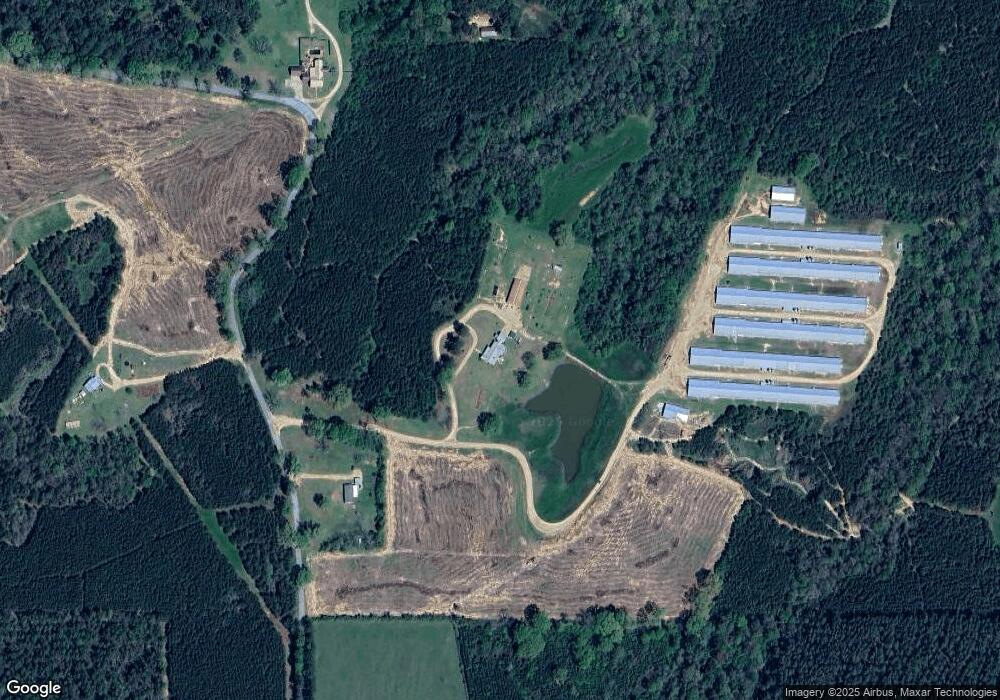
Map
Nearby Homes
- 0 Hawpond Church Rd
- 200 Hawpond Church Rd
- 399 James Boyakin Barnett Rd
- 540-578 Sol Grubbs Rd
- 120 Mary Bertie Dr
- 1 Main St
- 315 Wilson Welch Rd
- 118 Grayson Rd
- 1092 Mississippi 43
- 3 Acres Will Barber Rd
- 481 Macedonia Rd
- 0 Railroad Ln
- 182 A D McLendon Rd
- 00 Anse Reed Rd
- 000 Robert Bush Rd
- 143 Ashwood Ln
- 110 Anse Reed Rd
- 120 Anse Reed Rd
- 849 Athens Rd
- 348 Oak Grove Rd
- 137 Doris McCallum Rd
- 134 Doris McCallum Rd
- 120 Doris McCallum Rd
- 229 Oak Grove Rd
- 1151 Simpson Highway 13
- 1167 Simpson Highway 13
- 120 Little Buck Dr
- 396 Oak Grove Rd
- 189 Oak Grove Rd
- 172 Authur Williamson Rd
- 456 Oak Grove Rd
- 152 Oak Grove Rd
- 459 Oak Grove Rd
- 513 Hawpond Church Rd
- 3314 Simpson Highway 28 W
- 144 Oak Grove Rd
- 147 Oak Grove Rd
- 322 Ella Walker Rd
- 471 Oak Grove Rd
Your Personal Tour Guide
Ask me questions while you tour the home.