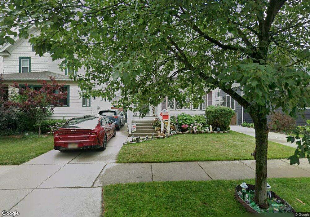
134 Westgate Rd Buffalo, NY 14217
Estimated Value: $239,000 - $324,000
5
Beds
2
Baths
1,556
Sq Ft
$176/Sq Ft
Est. Value
About This Home
This home is located at 134 Westgate Rd, Buffalo, NY 14217 and is currently estimated at $273,731, approximately $175 per square foot. 134 Westgate Rd is a home located in Erie County with nearby schools including Charles A Lindbergh Elementary School, Herbert Hoover Middle School, and Kenmore West Senior High School.
Ownership History
Date
Name
Owned For
Owner Type
Purchase Details
Closed on
Jul 6, 2005
Sold by
Francavilla Donald J and Francavilla Betty D
Bought by
Casarsa Lynn M
Current Estimated Value
Home Financials for this Owner
Home Financials are based on the most recent Mortgage that was taken out on this home.
Original Mortgage
$94,000
Outstanding Balance
$49,101
Interest Rate
5.67%
Mortgage Type
Fannie Mae Freddie Mac
Estimated Equity
$224,630
Create a Home Valuation Report for This Property
The Home Valuation Report is an in-depth analysis detailing your home's value as well as a comparison with similar homes in the area
Home Values in the Area
Average Home Value in this Area
Purchase History
| Date | Buyer | Sale Price | Title Company |
|---|---|---|---|
| Casarsa Lynn M | $117,500 | -- |
Source: Public Records
Mortgage History
| Date | Status | Borrower | Loan Amount |
|---|---|---|---|
| Open | Casarsa Lynn M | $94,000 |
Source: Public Records
Tax History
| Year | Tax Paid | Tax Assessment Tax Assessment Total Assessment is a certain percentage of the fair market value that is determined by local assessors to be the total taxable value of land and additions on the property. | Land | Improvement |
|---|---|---|---|---|
| 2024 | $7,296 | $46,700 | $6,300 | $40,400 |
| 2023 | $7,124 | $46,700 | $6,300 | $40,400 |
| 2022 | $6,271 | $46,700 | $6,300 | $40,400 |
| 2021 | $3,851 | $46,700 | $6,300 | $40,400 |
| 2020 | $4,971 | $46,700 | $6,300 | $40,400 |
| 2019 | $2,542 | $46,700 | $6,300 | $40,400 |
| 2018 | $4,247 | $46,700 | $6,300 | $40,400 |
| 2017 | $873 | $46,700 | $6,300 | $40,400 |
| 2016 | $3,970 | $46,700 | $6,300 | $40,400 |
| 2015 | -- | $46,700 | $6,300 | $40,400 |
| 2014 | -- | $46,700 | $6,300 | $40,400 |
Source: Public Records
Map
Nearby Homes
- 79 Lincoln Blvd
- 107 Wabash Ave
- 181 Mang Ave
- 165 Tremont Ave
- 197 Tremont Ave
- 176 Lasalle Ave
- 80 Kinsey Ave
- 156 Hamilton Blvd
- 312 Victoria Blvd
- 1455 Kenmore Ave
- 314 Tremont Ave
- 281 W Hazeltine Ave
- 201 Ramsdell Ave
- 123 Palmer Ave
- 32 E Hazeltine Ave
- 279 Hamilton Blvd
- 361 Westgate Rd
- 109 Argonne Dr
- 50 Delwood Rd
- 145 Hoover Ave
- 138 Westgate Rd
- 130 Westgate Rd
- 142 Westgate Rd
- 128 Westgate Rd
- 146 Westgate Rd
- 124 Westgate Rd
- 133 Victoria Blvd
- 135 Victoria Blvd
- 150 Westgate Rd
- 120 Westgate Rd
- 129 Victoria Blvd
- 139 Victoria Blvd
- 125 Victoria Blvd
- 143 Victoria Blvd
- 133 Westgate Rd
- 152 Westgate Rd
- 116 Westgate Rd
- 127 Westgate Rd
- 137 Westgate Rd
- 117 Victoria Blvd
Your Personal Tour Guide
Ask me questions while you tour the home.