Estimated Value: $306,000 - $502,000
4
Beds
3
Baths
1,960
Sq Ft
$192/Sq Ft
Est. Value
About This Home
This home is located at 13407 530th St, Lucas, IA 50151 and is currently estimated at $376,952, approximately $192 per square foot. 13407 530th St is a home located in Lucas County with nearby schools including Columbus Elementary School, Van Allen Elementary School, and Chariton Middle School.
Ownership History
Date
Name
Owned For
Owner Type
Purchase Details
Closed on
Jan 30, 2014
Sold by
Federal Home Loan Mortgage Corporation
Bought by
Kinsey Mary C and Kinsey Barry D
Current Estimated Value
Home Financials for this Owner
Home Financials are based on the most recent Mortgage that was taken out on this home.
Original Mortgage
$59,400
Interest Rate
4%
Mortgage Type
Future Advance Clause Open End Mortgage
Purchase Details
Closed on
Jul 23, 2013
Sold by
Hodges Greg J
Bought by
Federal Home Loan Mortgage Corporation
Create a Home Valuation Report for This Property
The Home Valuation Report is an in-depth analysis detailing your home's value as well as a comparison with similar homes in the area
Home Values in the Area
Average Home Value in this Area
Purchase History
| Date | Buyer | Sale Price | Title Company |
|---|---|---|---|
| Kinsey Mary C | -- | None Available | |
| Federal Home Loan Mortgage Corporation | $215,992 | None Available |
Source: Public Records
Mortgage History
| Date | Status | Borrower | Loan Amount |
|---|---|---|---|
| Closed | Kinsey Mary C | $59,400 |
Source: Public Records
Tax History Compared to Growth
Tax History
| Year | Tax Paid | Tax Assessment Tax Assessment Total Assessment is a certain percentage of the fair market value that is determined by local assessors to be the total taxable value of land and additions on the property. | Land | Improvement |
|---|---|---|---|---|
| 2024 | $3,392 | $244,069 | $617 | $243,452 |
| 2023 | $2,436 | $244,069 | $617 | $243,452 |
| 2022 | $2,352 | $143,050 | $470 | $142,580 |
| 2021 | $2,016 | $143,133 | $553 | $142,580 |
| 2020 | $2,016 | $124,622 | $5,803 | $118,819 |
| 2019 | $1,828 | $238,297 | $119,478 | $118,819 |
| 2018 | $1,822 | $105,172 | $1,851 | $103,321 |
| 2017 | $1,788 | $98,192 | $0 | $0 |
| 2016 | $1,788 | $98,192 | $0 | $0 |
| 2015 | $1,788 | $127,208 | $0 | $0 |
| 2014 | $2,572 | $168,862 | $0 | $0 |
Source: Public Records
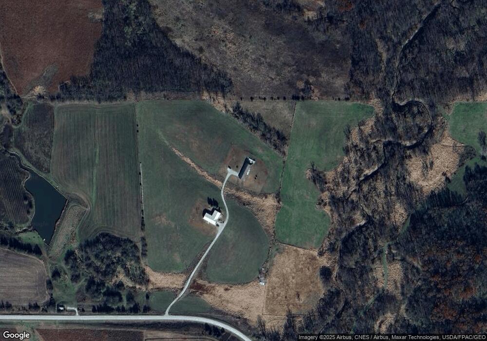
Map
Nearby Homes
- 53505 160th Ave
- 15500 555th St
- 555th St
- 51152 Clarke-Lucas Ave
- 49418 120th Ave
- 00 150 Ave
- 505 W Summit St
- 402 Jericho Rd
- 57355 Highway 65
- 12600 Blk Us Hwy 34 Hwy
- . 13-72-23 Hoods Sub Div 39 Lots 68-76-77 St
- 00 Mccomb St
- 140th Ave & 580th St
- 150th Avenue
- 0 330th Unit 6324894
- 23446 148th Ave
- 330th Avenue
- 0 Hwy G76 & 190th Ave Unit 722395
- 57155 200th Ave
- 20234 495th Ln
- 13405 530th St
- 0 530th St
- 13660 530th St
- 23000 Blk 138th Ave
- 0 0 Unit 5424478
- 19-72-23nE Main
- 00 130th Ave
- 52800 130th Trail
- 13898 530th St
- 12965 530th St
- 12826 530th St
- 0 130th Trail
- 53239 Us Highway 65
- 52385 140th Ave
- 53761 130th Trail
- 53901 130th Trail
- 53116 Us Highway 65
- 53116 Us Highway 65
- 53116 Us Highway 65