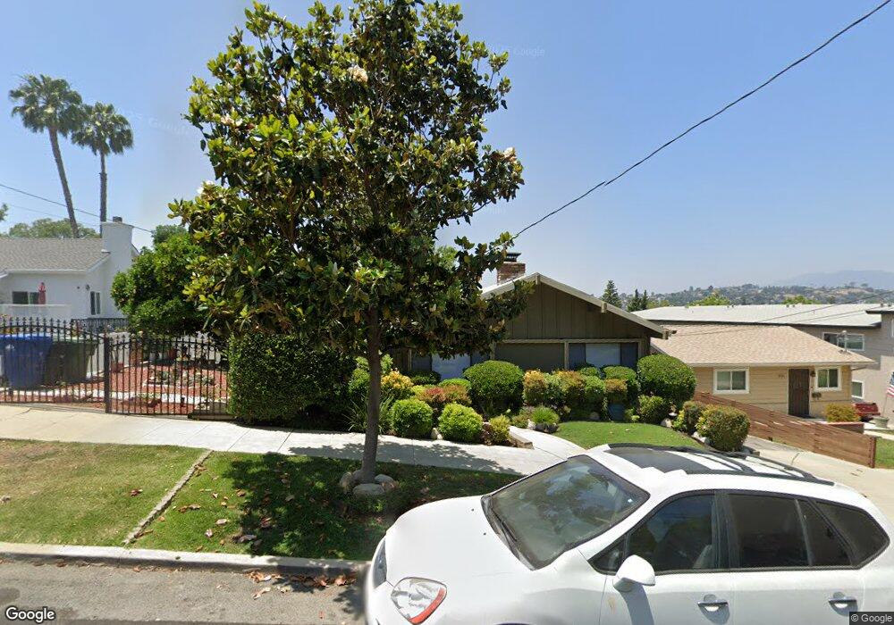
1341 Armadale Ave Los Angeles, CA 90042
Estimated Value: $937,000 - $1,294,000
2
Beds
1
Bath
1,350
Sq Ft
$824/Sq Ft
Est. Value
About This Home
This home is located at 1341 Armadale Ave, Los Angeles, CA 90042 and is currently estimated at $1,112,143, approximately $823 per square foot. 1341 Armadale Ave is a home located in Los Angeles County with nearby schools including Toland Way Elementary School, Benjamin Franklin High School, and Eagle Rock High School.
Ownership History
Date
Name
Owned For
Owner Type
Purchase Details
Closed on
Jun 6, 2018
Sold by
Clark Cantore Steven
Bought by
S & L Cantore Family Living Trust
Current Estimated Value
Purchase Details
Closed on
Feb 15, 2013
Sold by
Cantore Janice Marie and The Cantore Family Trust
Bought by
Cantore Steven Clark
Purchase Details
Closed on
Oct 27, 2003
Sold by
Cantore Rocco J and Cantore Doris A
Bought by
Cantore Rocco J
Create a Home Valuation Report for This Property
The Home Valuation Report is an in-depth analysis detailing your home's value as well as a comparison with similar homes in the area
Home Values in the Area
Average Home Value in this Area
Purchase History
| Date | Buyer | Sale Price | Title Company |
|---|---|---|---|
| S & L Cantore Family Living Trust | -- | None Listed On Document | |
| Cantore Steven Clark | -- | None Available | |
| Cantore Rocco J | -- | -- |
Source: Public Records
Tax History Compared to Growth
Tax History
| Year | Tax Paid | Tax Assessment Tax Assessment Total Assessment is a certain percentage of the fair market value that is determined by local assessors to be the total taxable value of land and additions on the property. | Land | Improvement |
|---|---|---|---|---|
| 2025 | $946 | $57,792 | $24,728 | $33,064 |
| 2024 | $946 | $56,660 | $24,244 | $32,416 |
| 2023 | $933 | $55,550 | $23,769 | $31,781 |
| 2022 | $896 | $54,461 | $23,303 | $31,158 |
| 2021 | $878 | $53,395 | $22,847 | $30,548 |
| 2019 | $856 | $51,813 | $22,170 | $29,643 |
| 2018 | $798 | $50,798 | $21,736 | $29,062 |
| 2016 | $748 | $48,828 | $20,893 | $27,935 |
| 2015 | $740 | $48,096 | $20,580 | $27,516 |
| 2014 | $754 | $47,154 | $20,177 | $26,977 |
Source: Public Records
Map
Nearby Homes
- 1336 Armadale Ave
- 4654 Toland Way
- 4666 York Blvd
- 4780 Hub St
- 4854 Buchanan St
- 4824 Toland Way
- 4925 Buchanan St
- 4500 Mont Eagle Place
- 1113 N Avenue 50
- 1017 Dexter St
- 1048 Dexter St
- 4312 Division St
- 1037 N Avenue 50
- 1607 Campus Rd
- 925 927 El Paso Dr
- 1087 Oneonta Dr
- 4263 Barryknoll Dr
- 865 N Avenue 50
- 5055 Hub St
- 917 N Avenue 51
- 1343 Armadale Ave
- 1335 Armadale Ave
- 1351 Armadale Ave
- 1329 Armadale Ave
- 1414 N Avenue 47
- 1354 Armadale Ave
- 1319 Armadale Ave
- 1422 N Avenue 47
- 1342 Armadale Ave
- 1332 Armadale Ave
- 1404 N Avenue 47
- 1426 N Avenue 47
- 1350 Armadale Ave
- 1328 Armadale Ave
- 4719 Toland Way
- 1361 Armadale Ave
- 1363 Armadale Ave
- 4715 Toland Way
- 1436 N Avenue 47
- 4727 Toland Way