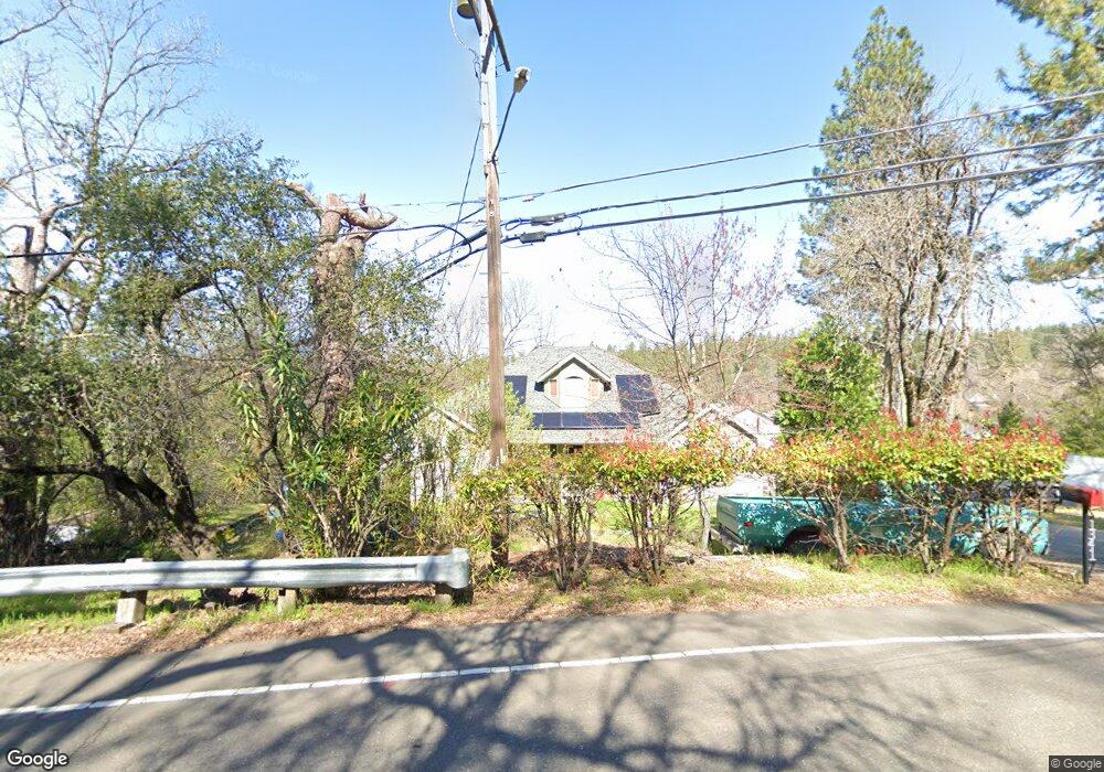
1341 Carson Rd Placerville, CA 95667
Estimated Value: $464,885 - $522,000
3
Beds
2
Baths
1,864
Sq Ft
$265/Sq Ft
Est. Value
About This Home
This home is located at 1341 Carson Rd, Placerville, CA 95667 and is currently estimated at $493,221, approximately $264 per square foot. 1341 Carson Rd is a home located in El Dorado County with nearby schools including El Dorado High School, Country Day Montessori, and El Dorado Adventist School.
Ownership History
Date
Name
Owned For
Owner Type
Purchase Details
Closed on
Sep 24, 2001
Sold by
Rodarte Scott Darryl
Bought by
Rodarte Scott and Rodarte Tammy
Current Estimated Value
Home Financials for this Owner
Home Financials are based on the most recent Mortgage that was taken out on this home.
Original Mortgage
$159,608
Interest Rate
6.91%
Mortgage Type
FHA
Purchase Details
Closed on
Apr 23, 1996
Sold by
Rodarte Sara Christine
Bought by
Rodarte Scott Darryl
Create a Home Valuation Report for This Property
The Home Valuation Report is an in-depth analysis detailing your home's value as well as a comparison with similar homes in the area
Home Values in the Area
Average Home Value in this Area
Purchase History
| Date | Buyer | Sale Price | Title Company |
|---|---|---|---|
| Rodarte Scott | -- | Old Republic Title Company | |
| Rodarte Scott Darryl | -- | -- |
Source: Public Records
Mortgage History
| Date | Status | Borrower | Loan Amount |
|---|---|---|---|
| Closed | Rodarte Scott | $159,608 |
Source: Public Records
Tax History
| Year | Tax Paid | Tax Assessment Tax Assessment Total Assessment is a certain percentage of the fair market value that is determined by local assessors to be the total taxable value of land and additions on the property. | Land | Improvement |
|---|---|---|---|---|
| 2025 | $2,651 | $262,477 | $60,655 | $201,822 |
| 2024 | $2,651 | $256,242 | $59,466 | $196,776 |
| 2023 | $2,608 | $250,181 | $58,300 | $191,881 |
| 2022 | $2,503 | $238,987 | $57,157 | $181,830 |
| 2021 | $2,465 | $233,510 | $56,037 | $177,473 |
| 2020 | $2,417 | $230,110 | $55,463 | $174,647 |
| 2019 | $2,367 | $223,769 | $54,376 | $169,393 |
| 2018 | $2,288 | $218,728 | $53,310 | $165,418 |
| 2017 | $2,236 | $212,854 | $52,265 | $160,589 |
| 2016 | $2,185 | $207,240 | $51,241 | $155,999 |
| 2015 | $2,056 | $202,733 | $50,472 | $152,261 |
| 2014 | $2,056 | $197,573 | $49,485 | $148,088 |
Source: Public Records
Map
Nearby Homes
- 2977 Mosquito Rd
- 2940 Anderson Way
- 2660 Clay St
- 2921 Miller Way
- 2655 Mona Dr
- 678 Main St
- 1017 Utah Dr
- 1012 Utah Dr
- 1000 Utah Dr
- 1002 Utah Dr
- 1008 Utah Dr
- 990 Thompson Way
- 966 Lincoln St
- 3095 Cedar Ravine Rd
- 945 Crawford Drift Ct
- 944 Crawford Drift Ct
- 2532 Golden Eagle Dr
- 8325 County Rd M44
- 3550 Eskaton Dr
- 3166 Cedar Ravine Rd
- 2859 Mosquito Rd
- 1326 Dimity Ln
- 1320 Dimity Ln
- 1366 Village Ln
- 1323 Carson Rd
- 1362 Village Ln
- 1370 Village Ln
- 1350 Carson Rd
- 1316 Dimity Ln
- 1360 Village Ln
- 1374 Village Ln
- 2885 Mosquito Rd
- 2862 Mosquito Rd
- 1365 Village Ln
- 2850 Mosquito Rd
- 2848 Mosquito Rd
- 1356 Carson Rd
- 1295 Village Ln
- 1312 Dimity Ln
- 1361 Carson Rd
Your Personal Tour Guide
Ask me questions while you tour the home.