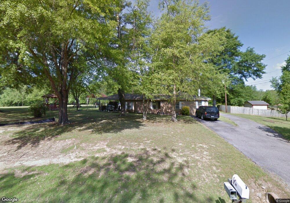
1341 Hall Rd Nesbit, MS 38651
Estimated Value: $176,396 - $353,000
2
Beds
--
Bath
1,503
Sq Ft
$185/Sq Ft
Est. Value
About This Home
This home is located at 1341 Hall Rd, Nesbit, MS 38651 and is currently estimated at $277,599, approximately $184 per square foot. 1341 Hall Rd is a home located in DeSoto County with nearby schools including Oak Grove Central Elementary School, Hernando Hills Elementary, and Hernando Elementary School.
Ownership History
Date
Name
Owned For
Owner Type
Purchase Details
Closed on
Mar 27, 2024
Sold by
Martin Charles E
Bought by
Goolsby Melonie and Goolsby Carl K
Current Estimated Value
Home Financials for this Owner
Home Financials are based on the most recent Mortgage that was taken out on this home.
Original Mortgage
$236,007
Outstanding Balance
$225,333
Interest Rate
6.94%
Mortgage Type
Credit Line Revolving
Estimated Equity
$52,266
Create a Home Valuation Report for This Property
The Home Valuation Report is an in-depth analysis detailing your home's value as well as a comparison with similar homes in the area
Home Values in the Area
Average Home Value in this Area
Purchase History
| Date | Buyer | Sale Price | Title Company |
|---|---|---|---|
| Goolsby Melonie | -- | None Listed On Document | |
| Goolsby Melonie | -- | None Listed On Document |
Source: Public Records
Mortgage History
| Date | Status | Borrower | Loan Amount |
|---|---|---|---|
| Open | Goolsby Melonie | $236,007 | |
| Closed | Goolsby Melonie | $236,007 | |
| Closed | Goolsby Melonie | $131,675 |
Source: Public Records
Tax History
| Year | Tax Paid | Tax Assessment Tax Assessment Total Assessment is a certain percentage of the fair market value that is determined by local assessors to be the total taxable value of land and additions on the property. | Land | Improvement |
|---|---|---|---|---|
| 2025 | $1,187 | $10,192 | $2,000 | $8,192 |
| 2024 | $1,067 | $7,692 | $2,000 | $5,692 |
| 2023 | $1,067 | $7,692 | $0 | $0 |
| 2022 | $1,137 | $8,192 | $2,500 | $5,692 |
| 2021 | $1,137 | $8,192 | $2,500 | $5,692 |
| 2020 | $33 | $7,736 | $2,500 | $5,236 |
| 2019 | $33 | $7,736 | $2,500 | $5,236 |
| 2017 | $0 | $12,492 | $7,496 | $4,996 |
| 2016 | $1,002 | $7,496 | $2,500 | $4,996 |
| 2015 | $1,002 | $12,492 | $7,496 | $4,996 |
| 2014 | $678 | $7,496 | $0 | $0 |
| 2013 | $678 | $7,496 | $0 | $0 |
Source: Public Records
Map
Nearby Homes
- 970 Coahoma Ct
- 654 Tallahatchie St
- 636 Tallahatchie St
- 940 Coahoma Ct
- 928 Coahoma Ct
- 902 Coahoma Ct
- 878 Coahoma Ct
- 854 Coahoma Ct
- 0 Jackson Rd
- 838 Quitman Ct W
- 828 Quitman Ct W
- 818 Quitman Ct W
- 779 Quitman Ct W
- 773 Quitman Ct W
- 763 Quitman Ct W
- 767 Coahoma Ct
- 617 Sunflower St
- 713 Bolivar Dr
- 705 Bolivar Dr
- 660 Bolivar Dr
- 1371 Hall Rd
- 1336 Hall Rd
- 1372 Hall Rd
- 1387 Hall Rd
- 1303 Hall Rd
- 1460 Hall Rd
- 1246 Hall Rd
- 601 Pleasant Hill Rd
- 901 Pleasant Hill Rd
- 000 Pleasant Hill Rd
- 764 Pleasant Hill Rd
- 730 Pleasant Hill Rd
- 1335 McIngvale Rd
- 1370 Dogwood Hollow Dr
- 1348 Dogwood Hollow Dr
- 1390 Dogwood Hollow Dr
- 1418 Dogwood Hollow Dr
- 1296 Dogwood Hollow Dr
- 848 Pleasant Hill Rd
- 680 Pleasant Hill Rd
Your Personal Tour Guide
Ask me questions while you tour the home.