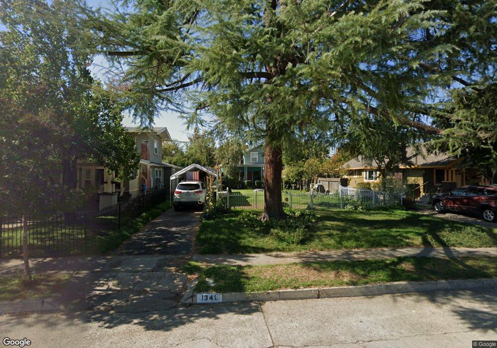
1341 N Roosevelt Ave Fresno, CA 93728
Tower District NeighborhoodEstimated Value: $207,000 - $271,000
2
Beds
1
Bath
960
Sq Ft
$250/Sq Ft
Est. Value
About This Home
This home is located at 1341 N Roosevelt Ave, Fresno, CA 93728 and is currently estimated at $239,965, approximately $249 per square foot. 1341 N Roosevelt Ave is a home located in Fresno County with nearby schools including Muir Elementary, Fort Miller Middle School, and Fresno High School.
Ownership History
Date
Name
Owned For
Owner Type
Purchase Details
Closed on
May 26, 2005
Sold by
Garibay Mercedes M
Bought by
Garibay Mercedes M
Current Estimated Value
Purchase Details
Closed on
Nov 3, 2003
Sold by
Gibson Mercedes M
Bought by
Garibay Mercedes M
Create a Home Valuation Report for This Property
The Home Valuation Report is an in-depth analysis detailing your home's value as well as a comparison with similar homes in the area
Home Values in the Area
Average Home Value in this Area
Purchase History
| Date | Buyer | Sale Price | Title Company |
|---|---|---|---|
| Garibay Mercedes M | -- | -- | |
| Garibay Mercedes M | -- | -- |
Source: Public Records
Tax History Compared to Growth
Tax History
| Year | Tax Paid | Tax Assessment Tax Assessment Total Assessment is a certain percentage of the fair market value that is determined by local assessors to be the total taxable value of land and additions on the property. | Land | Improvement |
|---|---|---|---|---|
| 2025 | $862 | $69,930 | $27,204 | $42,726 |
| 2023 | $812 | $67,217 | $26,149 | $41,068 |
| 2022 | $800 | $65,900 | $25,637 | $40,263 |
| 2021 | $777 | $64,609 | $25,135 | $39,474 |
| 2020 | $773 | $63,948 | $24,878 | $39,070 |
| 2019 | $743 | $62,695 | $24,391 | $38,304 |
| 2018 | $726 | $61,466 | $23,913 | $37,553 |
| 2017 | $713 | $60,262 | $23,445 | $36,817 |
| 2016 | $689 | $59,082 | $22,986 | $36,096 |
| 2015 | $678 | $58,195 | $22,641 | $35,554 |
| 2014 | $662 | $57,056 | $22,198 | $34,858 |
Source: Public Records
Map
Nearby Homes
- 1371 N Roosevelt Ave
- 1317 N Wilson Ave
- 1271 N Roosevelt Ave
- 1327 N Ferger Ave
- 1487 N Echo Ave
- 605 E Home Ave
- 1010 N Ferger Ave
- 721 E Home Ave
- 1592 N Ferger Ave
- 745 E Home Ave
- 930 N Roosevelt Ave
- 0 W Olive Ave Unit 633534
- 33 W Olive Ave
- 37 W Olive Ave
- 1504 N Van Ness Ave
- 630 E Dudley Ave
- 1036 N Adoline Ave
- 0 W Mckinley Ave
- 1103 N Adoline Ave
- 1452 N Poplar Ave
- 1337 N Roosevelt Ave
- 1351 N Roosevelt Ave
- 1335 N Roosevelt Ave
- 1348 N Wilson Ave
- 1350 N Wilson Ave
- 1332 N Wilson Ave
- 1361 N Roosevelt Ave
- 1358 N Wilson Ave
- 1320 N Wilson Ave
- 1325 N Roosevelt Ave
- 1344 N Roosevelt Ave
- 1364 N Wilson Ave
- 1316 N Wilson Ave
- 1332 N Roosevelt Ave
- 1350 N Roosevelt Ave
- 1370 N Wilson Ave
- 1311 N Roosevelt Ave
- 1308 N Wilson Ave
- 1364 N Roosevelt Ave
- 1381 N Roosevelt Ave