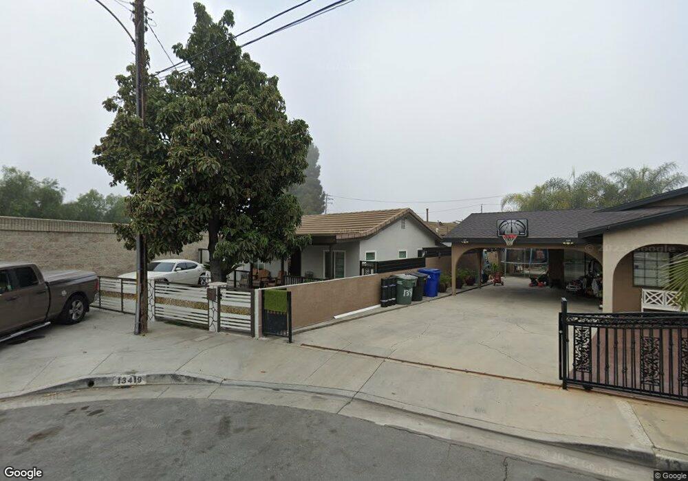
13419 Brock Ave Paramount, CA 90723
Estimated Value: $715,000 - $936,000
4
Beds
4
Baths
1,626
Sq Ft
$490/Sq Ft
Est. Value
About This Home
This home is located at 13419 Brock Ave, Paramount, CA 90723 and is currently estimated at $796,708, approximately $489 per square foot. 13419 Brock Ave is a home located in Los Angeles County with nearby schools including Theodore Roosevelt, Paramount Park Middle School, and Paramount High School.
Ownership History
Date
Name
Owned For
Owner Type
Purchase Details
Closed on
Dec 29, 2015
Sold by
Lopez Rosa I Galindo
Bought by
Perez Felipe
Current Estimated Value
Home Financials for this Owner
Home Financials are based on the most recent Mortgage that was taken out on this home.
Original Mortgage
$133,292
Outstanding Balance
$105,275
Interest Rate
3.75%
Mortgage Type
FHA
Estimated Equity
$691,433
Purchase Details
Closed on
Sep 23, 2011
Sold by
Perez Ermida
Bought by
Lopez Rosa I Galindo and Perez Felipe
Purchase Details
Closed on
Jun 30, 2006
Sold by
Perez Jose
Bought by
Perez Erminda
Create a Home Valuation Report for This Property
The Home Valuation Report is an in-depth analysis detailing your home's value as well as a comparison with similar homes in the area
Home Values in the Area
Average Home Value in this Area
Purchase History
| Date | Buyer | Sale Price | Title Company |
|---|---|---|---|
| Perez Felipe | -- | Wfg | |
| Lopez Rosa I Galindo | -- | None Available | |
| Perez Erminda | -- | None Available |
Source: Public Records
Mortgage History
| Date | Status | Borrower | Loan Amount |
|---|---|---|---|
| Open | Perez Felipe | $133,292 |
Source: Public Records
Tax History
| Year | Tax Paid | Tax Assessment Tax Assessment Total Assessment is a certain percentage of the fair market value that is determined by local assessors to be the total taxable value of land and additions on the property. | Land | Improvement |
|---|---|---|---|---|
| 2025 | $6,695 | $511,838 | $275,233 | $236,605 |
| 2024 | $6,695 | $501,803 | $269,837 | $231,966 |
| 2023 | $6,572 | $491,965 | $264,547 | $227,418 |
| 2022 | $6,397 | $482,319 | $259,360 | $222,959 |
| 2021 | $6,249 | $472,863 | $254,275 | $218,588 |
| 2019 | $6,410 | $458,839 | $246,734 | $212,105 |
| 2018 | $5,937 | $449,844 | $241,897 | $207,947 |
| 2016 | $4,093 | $326,155 | $232,504 | $93,651 |
| 2015 | $3,454 | $290,792 | $211,710 | $79,082 |
| 2014 | $3,538 | $285,096 | $207,563 | $77,533 |
Source: Public Records
Map
Nearby Homes
- 8052 Alhambra Ave Unit 36
- 13450 Merkel Ave
- 13438 Obispo Ave
- 13108 Brock Ave
- 6100 Mckinley Ave
- 8139 Priscilla St
- 0 Nevada Ave
- 13623 Fanshaw Ave
- 13942 Anderson St
- 13000 Paramount Blvd
- 8217 Howe St
- 13317 Bixler Ave
- 8041 Puritan St
- 13919 Arthur Ave Unit 22
- 8333 Puritan St
- 13959 Arthur Ave Unit 1
- 8312 Devenir Ave
- 14134 Orizaba Ave
- 8211 Wilbarn St
- 13827 Fairlock Ave
- 13413 Brock Ave
- 13418 Ruther Ave
- 13409 Brock Ave
- 13422 Ruther Ave
- 13412 Ruther Ave
- 8118 Golden Ave
- 8114 Golden Ave
- 13410 Ruther Ave
- 13410 Brock Ave
- 8110 Golden Ave
- 8108 Golden Ave
- 13404 Brock Ave
- 8104 Golden Ave
- 8100 Golden Ave
- 8040 Golden Ave
- 8038 Golden Ave Unit 10
- 8129 Golden Ave
- 8042 Golden Ave
- 8036 Golden Ave
- 13353 Orizaba Ave
Your Personal Tour Guide
Ask me questions while you tour the home.