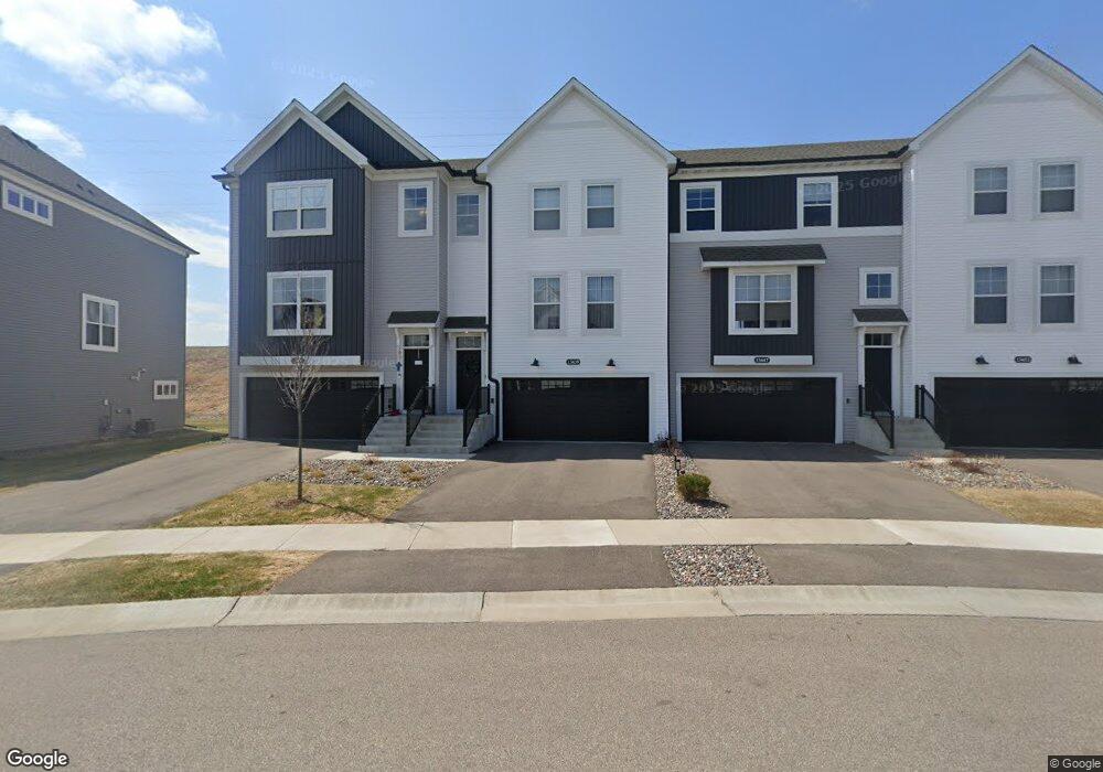
13439 Territorial Cir N Maple Grove, MN 55369
Estimated Value: $416,732 - $437,000
3
Beds
3
Baths
2,268
Sq Ft
$189/Sq Ft
Est. Value
About This Home
This home is located at 13439 Territorial Cir N, Maple Grove, MN 55369 and is currently estimated at $429,683, approximately $189 per square foot. 13439 Territorial Cir N is a home located in Hennepin County with nearby schools including Fernbrook Elementary School, Osseo Middle School, and Maple Grove Senior High School.
Ownership History
Date
Name
Owned For
Owner Type
Purchase Details
Closed on
Jul 29, 2022
Sold by
M/I Homes Of Minneapolis/St Paul Llc
Bought by
Yang Elizabeth S
Current Estimated Value
Home Financials for this Owner
Home Financials are based on the most recent Mortgage that was taken out on this home.
Original Mortgage
$399,000
Outstanding Balance
$382,355
Interest Rate
5.81%
Mortgage Type
New Conventional
Estimated Equity
$47,328
Purchase Details
Closed on
Jul 12, 2022
Sold by
M/I Homes Of Minneapolis/St Paul Llc
Bought by
Yang Elizabeth S
Home Financials for this Owner
Home Financials are based on the most recent Mortgage that was taken out on this home.
Original Mortgage
$399,000
Outstanding Balance
$382,355
Interest Rate
5.81%
Mortgage Type
New Conventional
Estimated Equity
$47,328
Create a Home Valuation Report for This Property
The Home Valuation Report is an in-depth analysis detailing your home's value as well as a comparison with similar homes in the area
Home Values in the Area
Average Home Value in this Area
Purchase History
| Date | Buyer | Sale Price | Title Company |
|---|---|---|---|
| Yang Elizabeth S | $434,000 | None Listed On Document | |
| Yang Elizabeth S | $434,000 | None Listed On Document |
Source: Public Records
Mortgage History
| Date | Status | Borrower | Loan Amount |
|---|---|---|---|
| Open | Yang Elizabeth S | $399,000 | |
| Closed | Yang Elizabeth S | $399,000 | |
| Closed | Yang Elizabeth S | $399,000 |
Source: Public Records
Tax History Compared to Growth
Tax History
| Year | Tax Paid | Tax Assessment Tax Assessment Total Assessment is a certain percentage of the fair market value that is determined by local assessors to be the total taxable value of land and additions on the property. | Land | Improvement |
|---|---|---|---|---|
| 2024 | $4,484 | $368,700 | $65,800 | $302,900 |
| 2023 | $4,454 | $379,800 | $75,000 | $304,800 |
| 2022 | $7,550 | $111,200 | $65,000 | $46,200 |
| 2021 | $76 | $26,900 | $26,900 | $0 |
Source: Public Records
Map
Nearby Homes
- 13434 Territorial Cir N
- 13485 Territorial Cir N
- 13391 Territorial Cir N
- 13810 102nd Ct N
- 14700 105th Place N
- 10385 Glacier Ln N
- 14436 103rd Place N
- 14444 103rd Place
- 14452 103rd Place N
- 14419 104th Ave N
- 14460 103rd Place N
- 14499 103rd Place N
- 10515 Harbor Ln N
- 14820 105th Place N
- 10514 Harbor Ln N
- 10518 Harbor Ln N
- 12795 95th Ave N
- 10521 Harbor Ln N
- 10523 Harbor Ln N
- 10545 Harbor Ln N
- 13439 Territorial Cir N
- 13435 Territorial Cir N
- 13435 Territorial Cir N
- 13447 Territorial Cir N
- 13447 Territorial Cir N
- 13453 Territorial Cir N
- 13429 Territorial Cir N
- 13459 Territorial Cir N
- 13467 Territorial Cir N
- 13467 Territorial Cir N
- 13403 Territorial Cir N
- 13430 Territorial Cir N
- 13422 Territorial Cir N
- 13399 Territorial Cir N
- 13479 Territorial Cir N
- 13412 Territorial Cir N
- 13488 Territorial Cir N
- 13485 Territorial Cir N
- 13406 Territorial Cir N
- 13494 Territorial Cir N