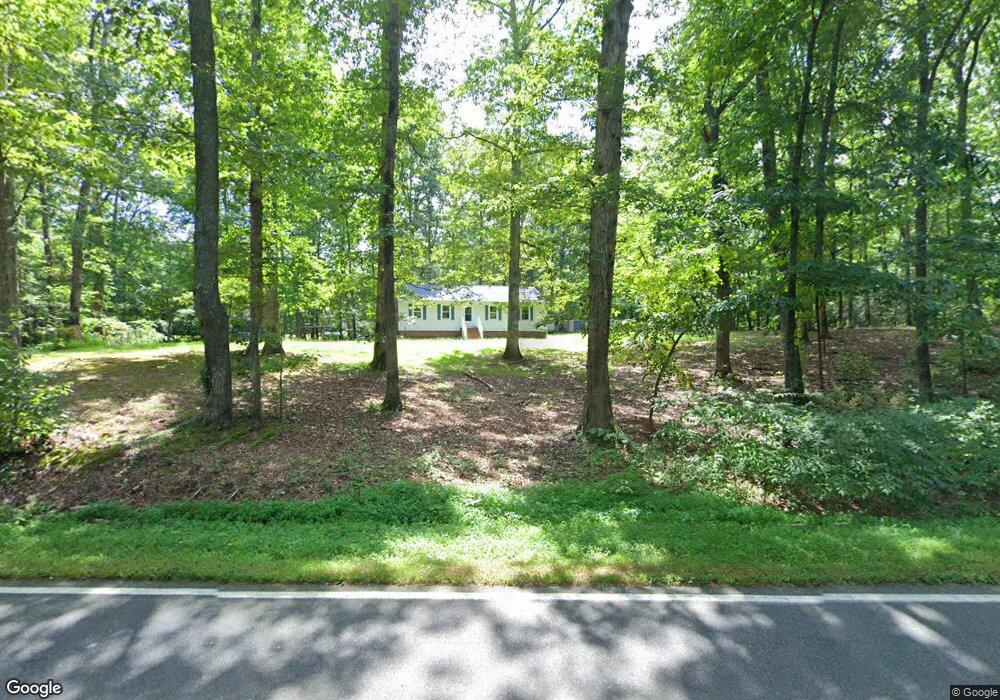
13441 New Kent Hwy Unit C Lanexa, VA 23089
Estimated Value: $255,000 - $355,000
3
Beds
1
Bath
1,288
Sq Ft
$234/Sq Ft
Est. Value
About This Home
This home is located at 13441 New Kent Hwy Unit C, Lanexa, VA 23089 and is currently estimated at $301,806, approximately $234 per square foot. 13441 New Kent Hwy Unit C is a home located in New Kent County with nearby schools including New Kent High School.
Ownership History
Date
Name
Owned For
Owner Type
Purchase Details
Closed on
Feb 7, 2023
Sold by
Bone Scott A and Bone Barbara L
Current Estimated Value
Purchase Details
Closed on
Nov 9, 2015
Sold by
Mabe Kenny L and Mabe Carol M
Bought by
Mabe Kenny L and Mabe Carol M
Home Financials for this Owner
Home Financials are based on the most recent Mortgage that was taken out on this home.
Original Mortgage
$165,000
Interest Rate
3.79%
Mortgage Type
VA
Purchase Details
Closed on
Oct 3, 2005
Sold by
Mabe Kenny L R and Bone Carol M
Bought by
Mabe Kenny L R
Home Financials for this Owner
Home Financials are based on the most recent Mortgage that was taken out on this home.
Original Mortgage
$171,000
Interest Rate
5.84%
Mortgage Type
New Conventional
Create a Home Valuation Report for This Property
The Home Valuation Report is an in-depth analysis detailing your home's value as well as a comparison with similar homes in the area
Home Values in the Area
Average Home Value in this Area
Purchase History
| Date | Buyer | Sale Price | Title Company |
|---|---|---|---|
| -- | -- | None Listed On Document | |
| Mabe Kenny L | -- | Timios Inc | |
| Mabe Kenny L R | -- | -- |
Source: Public Records
Mortgage History
| Date | Status | Borrower | Loan Amount |
|---|---|---|---|
| Previous Owner | Mabe Kenny L | $165,000 | |
| Previous Owner | Mabe Kenny L R | $171,000 |
Source: Public Records
Tax History Compared to Growth
Tax History
| Year | Tax Paid | Tax Assessment Tax Assessment Total Assessment is a certain percentage of the fair market value that is determined by local assessors to be the total taxable value of land and additions on the property. | Land | Improvement |
|---|---|---|---|---|
| 2025 | $1,409 | $234,900 | $96,600 | $138,300 |
| 2024 | $1,386 | $234,900 | $96,600 | $138,300 |
| 2023 | $1,366 | $203,900 | $69,500 | $134,400 |
| 2022 | $1,366 | $203,900 | $69,500 | $134,400 |
| 2021 | $1,289 | $163,200 | $53,500 | $109,700 |
| 2020 | $1,289 | $163,200 | $53,500 | $109,700 |
| 2019 | $1,317 | $160,600 | $45,500 | $115,100 |
| 2018 | $1,317 | $160,600 | $45,500 | $115,100 |
| 2017 | $1,285 | $154,800 | $45,500 | $109,300 |
| 2016 | $1,285 | $154,800 | $45,500 | $109,300 |
| 2015 | $1,216 | $144,800 | $47,300 | $97,500 |
| 2014 | -- | $144,800 | $47,300 | $97,500 |
Source: Public Records
Map
Nearby Homes
- TBD Clarke Rd
- 000 Clarke Rd
- 00 Old Camp Rd
- 7713 Leeds Castle Ln
- 7000 Oakfork Loop
- 5570 Tyshire Pkwy
- 15830 New Kent Hwy
- 5720 Chaucer Dr
- 5950 Brickshire Dr
- 11451 Royal Ln
- 11955 Pergola Ct
- 5461 Tyshire Pkwy
- McDowell Plan at Brickshire
- Roanoke Plan at Brickshire
- Oxford Plan at Brickshire
- Drexel Plan at Brickshire
- Cypress Plan at Brickshire
- Colfax Plan at Brickshire
- Davidson Plan at Brickshire
- Caldwell Plan at Brickshire
- 13460 Stage Rd Unit A
- 13400 Stage Rd Unit B
- 13470 Stage Rd Unit D
- 13473 Stage Rd Unit B
- 0 Kenthurst Road Lot 5
- 0 Kenthurst Road Lt 6
- 0 Kenthurst Road Lt 3
- 13440 New Kent Hwy Unit F
- 13399 Stage Rd Unit A
- 7065 Kenthurst Rd
- 0 Kenthurst Rd
- 13380 New Kent Hwy Unit G
- 7170 Kenthurst Rd
- 13226 Samantha Ann Dr Unit J
- 13226 Samantha Ann Dr
- 13400 New Kent Hwy Unit E
- 13341 New Kent Hwy Unit E
- 13341 New Kent Hwy
- 13501 Stage Rd Unit A
- 7242 Kenthurst Rd