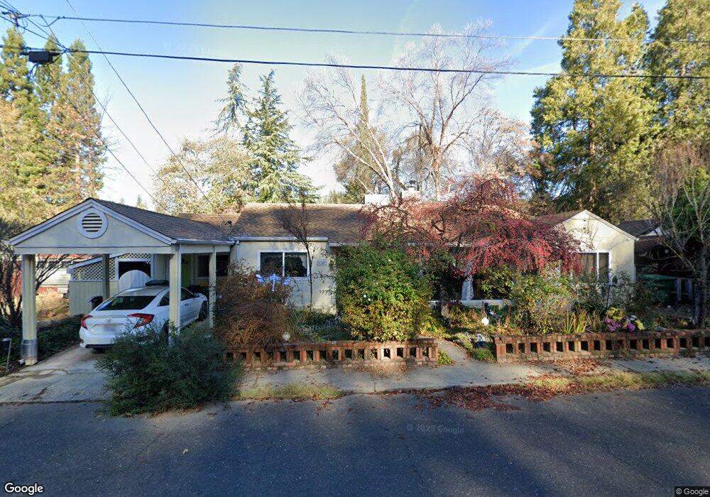
1347 Martin Ln Placerville, CA 95667
Estimated Value: $356,000 - $418,000
2
Beds
1
Bath
1,234
Sq Ft
$303/Sq Ft
Est. Value
About This Home
This home is located at 1347 Martin Ln, Placerville, CA 95667 and is currently estimated at $373,659, approximately $302 per square foot. 1347 Martin Ln is a home located in El Dorado County with nearby schools including El Dorado High School, Country Day Montessori, and El Dorado Adventist School.
Ownership History
Date
Name
Owned For
Owner Type
Purchase Details
Closed on
Jun 6, 1995
Sold by
Pasic John and Pasic Helen M
Bought by
Granger Diana J
Current Estimated Value
Home Financials for this Owner
Home Financials are based on the most recent Mortgage that was taken out on this home.
Original Mortgage
$120,000
Interest Rate
7.88%
Mortgage Type
Seller Take Back
Create a Home Valuation Report for This Property
The Home Valuation Report is an in-depth analysis detailing your home's value as well as a comparison with similar homes in the area
Home Values in the Area
Average Home Value in this Area
Purchase History
| Date | Buyer | Sale Price | Title Company |
|---|---|---|---|
| Granger Diana J | $135,000 | Placer Title Company |
Source: Public Records
Mortgage History
| Date | Status | Borrower | Loan Amount |
|---|---|---|---|
| Closed | Granger Diana J | $120,000 |
Source: Public Records
Tax History Compared to Growth
Tax History
| Year | Tax Paid | Tax Assessment Tax Assessment Total Assessment is a certain percentage of the fair market value that is determined by local assessors to be the total taxable value of land and additions on the property. | Land | Improvement |
|---|---|---|---|---|
| 2025 | $2,296 | $226,718 | $67,165 | $159,553 |
| 2024 | $2,296 | $222,274 | $65,849 | $156,425 |
| 2023 | $2,268 | $217,916 | $64,558 | $153,358 |
| 2022 | $2,235 | $213,644 | $63,293 | $150,351 |
| 2021 | $2,208 | $209,455 | $62,052 | $147,403 |
| 2020 | $2,175 | $207,308 | $61,416 | $145,892 |
| 2019 | $2,147 | $203,244 | $60,212 | $143,032 |
| 2018 | $2,082 | $199,260 | $59,032 | $140,228 |
| 2017 | $4,748 | $195,354 | $57,875 | $137,479 |
| 2016 | $2,018 | $191,525 | $56,741 | $134,784 |
| 2015 | $1,924 | $188,650 | $55,890 | $132,760 |
| 2014 | $1,924 | $184,957 | $54,797 | $130,160 |
Source: Public Records
Map
Nearby Homes
- 3136 Baco Dr
- 1344 Village Ln
- 3419 Eskaton Dr
- 2977 Mosquito Rd
- 678 Main St
- 2940 Anderson Way
- 2921 Miller Way
- 1302 Nicks Ln
- 2655 Mona Dr
- 0 Mona Ave
- 3095 Cedar Ravine Rd
- 3579 Cedar Ravine Rd
- 3153 Cedar Ravine Rd
- 1030 Lemongrass Ct
- 1522 Jeffrey Ln
- 3166 Cedar Ravine Rd
- 2-Acres Homestead Dr
- 0 Trails End Dr Unit 225117516
- 3237 Francis Ave
- 2896 Clay St