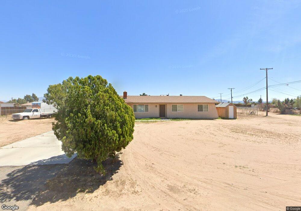
13499 Powhatan Rd Apple Valley, CA 92308
High Desert NeighborhoodEstimated Value: $362,000 - $417,000
3
Beds
2
Baths
1,280
Sq Ft
$297/Sq Ft
Est. Value
About This Home
This home is located at 13499 Powhatan Rd, Apple Valley, CA 92308 and is currently estimated at $380,180, approximately $297 per square foot. 13499 Powhatan Rd is a home located in San Bernardino County with nearby schools including Yucca Loma Elementary School and Apple Valley High School.
Ownership History
Date
Name
Owned For
Owner Type
Purchase Details
Closed on
Sep 2, 2005
Sold by
Bertelsen Gary L and Bertelesen Gary L
Bought by
Bertelsen Gary L
Current Estimated Value
Home Financials for this Owner
Home Financials are based on the most recent Mortgage that was taken out on this home.
Original Mortgage
$125,000
Interest Rate
5.87%
Mortgage Type
Purchase Money Mortgage
Purchase Details
Closed on
Oct 15, 2002
Sold by
Bertelsen Gail A
Bought by
Bertelsen Gary L
Home Financials for this Owner
Home Financials are based on the most recent Mortgage that was taken out on this home.
Original Mortgage
$76,000
Interest Rate
5.95%
Create a Home Valuation Report for This Property
The Home Valuation Report is an in-depth analysis detailing your home's value as well as a comparison with similar homes in the area
Home Values in the Area
Average Home Value in this Area
Purchase History
| Date | Buyer | Sale Price | Title Company |
|---|---|---|---|
| Bertelsen Gary L | -- | First American Title Company | |
| Bertelsen Gary L | -- | Southland Title |
Source: Public Records
Mortgage History
| Date | Status | Borrower | Loan Amount |
|---|---|---|---|
| Closed | Bertelsen Gary L | $125,000 | |
| Closed | Bertelsen Gary L | $76,000 |
Source: Public Records
Tax History
| Year | Tax Paid | Tax Assessment Tax Assessment Total Assessment is a certain percentage of the fair market value that is determined by local assessors to be the total taxable value of land and additions on the property. | Land | Improvement |
|---|---|---|---|---|
| 2025 | $290 | $168,169 | $43,342 | $124,827 |
| 2024 | $284 | $164,871 | $42,492 | $122,379 |
| 2023 | $285 | $161,638 | $41,659 | $119,979 |
| 2022 | $363 | $158,468 | $40,842 | $117,626 |
| 2021 | $350 | $155,361 | $40,041 | $115,320 |
| 2020 | $374 | $153,768 | $39,630 | $114,138 |
| 2019 | $378 | $150,753 | $38,853 | $111,900 |
| 2018 | $391 | $147,797 | $38,091 | $109,706 |
| 2017 | $397 | $144,899 | $37,344 | $107,555 |
| 2016 | $340 | $142,058 | $36,612 | $105,446 |
| 2015 | $326 | $139,924 | $36,062 | $103,862 |
| 2014 | $814 | $137,183 | $35,356 | $101,827 |
Source: Public Records
Map
Nearby Homes
- 13322 Chenin Blanc Ct
- 13597 Kiowa Rd
- 2222 Ottawa Rd
- 21172 Burgundy Way
- 21268 Chardonnay Dr
- 0 Mohawk Rd Unit MB25110922
- 20783 Shawnee Rd
- 13447 Iroquois Rd
- 13428 Mohawk Rd
- 13336 Mohawk Rd
- 13409 Mohawk Rd
- 13237 Mohawk Rd
- 13383 Tutelo Rd
- 21413 Ottawa Rd
- 13100 Skiomah Rd
- 21224 Vidal Ct
- 13206 Winona Rd
- 20958 Nisqually Rd
- 13073 Mohawk Rd
- 0 Shawnee Rd Unit HD25098149
- 13487 Powhatan Rd
- 13446 Lakota Rd
- 13447 Kiowa Rd
- 13511 Kiowa Rd
- 13481 Lakota Rd
- 13436 Lakota Rd
- 13461 Lakota Rd
- 13542 Lakota Rd
- 13437 Kiowa Rd
- 13441 Lakota Rd
- 13463 Kiowa Rd
- 13531 Kiowa Rd
- 13488 Kiowa Rd
- 13464 Kiowa Rd
- 21070 Powhatan Rd
- 13404 Lakota Rd
- 13411 Kiowa Rd
- 13510 Kiowa Rd
- 13553 Kiowa Rd
- 13421 Lakota Rd
Your Personal Tour Guide
Ask me questions while you tour the home.