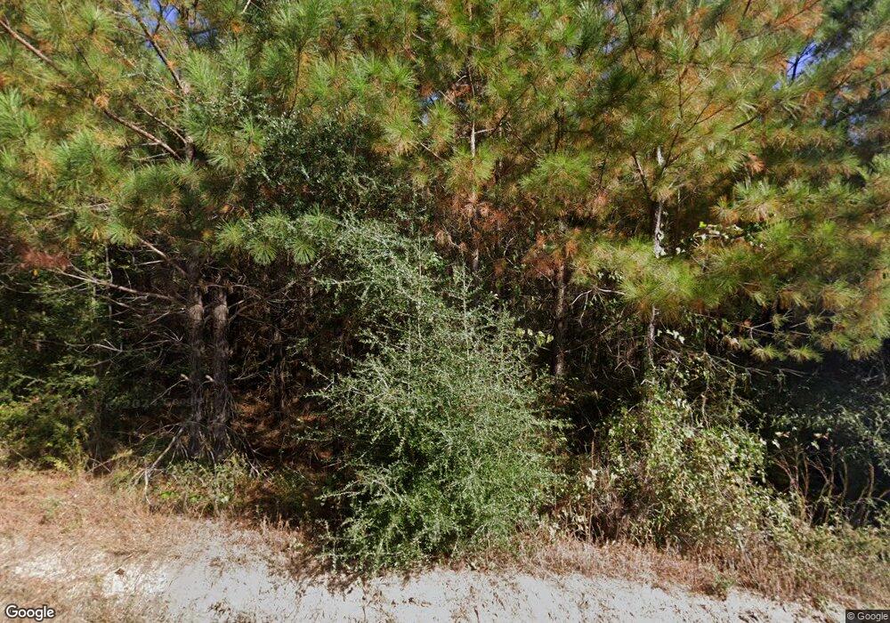
135 Barnes Estates Dr Mendenhall, MS 39114
Estimated Value: $312,011 - $596,000
--
Bed
--
Bath
2,646
Sq Ft
$149/Sq Ft
Est. Value
About This Home
This home is located at 135 Barnes Estates Dr, Mendenhall, MS 39114 and is currently estimated at $393,753, approximately $148 per square foot. 135 Barnes Estates Dr is a home with nearby schools including Mendenhall Elementary School, Mendenhall Junior High School, and Mendenhall High School.
Ownership History
Date
Name
Owned For
Owner Type
Purchase Details
Closed on
Dec 15, 2022
Sold by
Wilson Anthony
Bought by
Wilson Anthony P and Wilson Cassandra B
Current Estimated Value
Purchase Details
Closed on
Aug 4, 2021
Sold by
Andy Wilson
Bought by
Wilson Anthony
Purchase Details
Closed on
Jul 28, 2021
Sold by
Andy Wilson
Bought by
Anderson Phyllis and Jackson Pamela
Purchase Details
Closed on
Jun 3, 2021
Sold by
Wilson Andy and Wilson Anthony
Bought by
Anderson Phyllis and Jackson Pamela
Purchase Details
Closed on
Jul 13, 2011
Sold by
Wilson Ardell
Bought by
Wilson Ardell and Anderson Phyllis
Create a Home Valuation Report for This Property
The Home Valuation Report is an in-depth analysis detailing your home's value as well as a comparison with similar homes in the area
Home Values in the Area
Average Home Value in this Area
Purchase History
| Date | Buyer | Sale Price | Title Company |
|---|---|---|---|
| Wilson Anthony P | -- | None Listed On Document | |
| Wilson Anthony P | -- | -- | |
| Wilson Anthony | -- | None Listed On Document | |
| Anderson Phyllis | -- | None Listed On Document | |
| Anderson Phyllis | -- | None Available | |
| Wilson Ardell | -- | -- |
Source: Public Records
Tax History Compared to Growth
Tax History
| Year | Tax Paid | Tax Assessment Tax Assessment Total Assessment is a certain percentage of the fair market value that is determined by local assessors to be the total taxable value of land and additions on the property. | Land | Improvement |
|---|---|---|---|---|
| 2024 | $1,317 | $19,078 | $0 | $0 |
| 2023 | $1,317 | $18,547 | $0 | $0 |
| 2022 | $30 | $270 | $0 | $0 |
| 2021 | $52 | $477 | $0 | $0 |
| 2020 | $52 | $477 | $0 | $0 |
| 2019 | $49 | $477 | $0 | $0 |
| 2018 | $49 | $477 | $0 | $0 |
| 2017 | $49 | $477 | $0 | $0 |
| 2016 | $47 | $477 | $0 | $0 |
| 2015 | $46 | $477 | $0 | $0 |
| 2014 | $46 | $477 | $0 | $0 |
Source: Public Records
Map
Nearby Homes
- 810 N Maple Dr
- 0 Old Pinola Braxton Rd
- 00 Mississippi 13
- 0 Mississippi 149
- 2794 Simpson Hwy 13
- 0 Hwy 49 Unit 4110472
- 149 Martin Cir
- 0 Jupiter Rd
- 1002 Mark Dr
- 602 Circle Dr
- 211 W Maud Ave
- 000 Hwy 13 Hwy
- 0 Simpson Highway 13 Unit 4111635
- 0 Hwy 13 Hwy
- 707 N West St
- 0 Bowen Rd
- 106 Edd Monk St
- 0 N East St
- 619 Pittman Dr
- 310 Polly Ave
- 116 Barnes Estates Dr
- 336 Woodrow Barnes Rd
- 281 Woodrow Barnes Rd
- 299 Woodrow Barnes Rd
- 284 Woodrow Barnes Rd
- 244 Woodrow Barnes Rd
- 329 Woodrow Barnes Rd
- 329 Woodrow Barnes Rd
- 342 Woodrow Barnes Rd
- 108 Earnestine Skiffer Rd
- 110 Earnestine Skiffer Rd
- 114 Earnestine Skiffer Rd
- 128 Earnestine Skiffer Rd
- 127 Earnestine Skiffer Rd
- 105 Avery Dr
- 141 Drummond Rd
- 199 Woodrow Barnes Rd
- 172 Woodrow Barnes Rd
- 179 Joe Feazell Rd
- 393 Woodrow Barnes Rd
