Estimated Value: $254,000 - $311,000
2
Beds
2
Baths
806
Sq Ft
$349/Sq Ft
Est. Value
About This Home
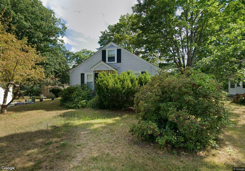
This home is located at 135 Euclid St, Athol, MA 01331 and is currently estimated at $281,137, approximately $348 per square foot. 135 Euclid St is a home located in Worcester County with nearby schools including Athol High School.
Ownership History
Date
Name
Owned For
Owner Type
Purchase Details
Closed on
Oct 4, 2012
Sold by
Gifford Scott B
Bought by
Roguski Wanda F and Armstrong Edward T
Current Estimated Value
Home Financials for this Owner
Home Financials are based on the most recent Mortgage that was taken out on this home.
Original Mortgage
$50,400
Outstanding Balance
$22,168
Interest Rate
3.66%
Mortgage Type
New Conventional
Estimated Equity
$258,969
Purchase Details
Closed on
Jul 31, 2006
Sold by
Gifford Virginia B
Bought by
Gifford Scott B
Create a Home Valuation Report for This Property
The Home Valuation Report is an in-depth analysis detailing your home's value as well as a comparison with similar homes in the area
Home Values in the Area
Average Home Value in this Area
Purchase History
| Date | Buyer | Sale Price | Title Company |
|---|---|---|---|
| Roguski Wanda F | $63,000 | -- | |
| Gifford Scott B | -- | -- |
Source: Public Records
Mortgage History
| Date | Status | Borrower | Loan Amount |
|---|---|---|---|
| Open | Roguski Wanda F | $50,400 |
Source: Public Records
Tax History
| Year | Tax Paid | Tax Assessment Tax Assessment Total Assessment is a certain percentage of the fair market value that is determined by local assessors to be the total taxable value of land and additions on the property. | Land | Improvement |
|---|---|---|---|---|
| 2025 | $2,856 | $224,700 | $47,400 | $177,300 |
| 2024 | $2,856 | $222,600 | $47,400 | $175,200 |
| 2023 | $2,704 | $192,600 | $34,400 | $158,200 |
| 2022 | $2,229 | $138,900 | $32,700 | $106,200 |
| 2021 | $2,147 | $121,600 | $29,800 | $91,800 |
| 2020 | $1,998 | $116,300 | $27,000 | $89,300 |
| 2019 | $1,928 | $103,400 | $25,500 | $77,900 |
| 2018 | $1,947 | $99,500 | $23,200 | $76,300 |
| 2017 | $4,309 | $87,800 | $23,200 | $64,600 |
| 2016 | $1,658 | $83,600 | $23,200 | $60,400 |
| 2015 | $1,591 | $83,600 | $23,200 | $60,400 |
| 2014 | $1,541 | $83,600 | $23,200 | $60,400 |
Source: Public Records
Map
Nearby Homes
- 53 Lake Ellis Rd
- 2428 Main St
- 217 Spring St
- 132 Simonds St
- 121 Spring St
- 572 Pleasant St
- 0 Spring St
- 31 Kelton St
- 62 Lindsay Ln
- 46 Auburn Place
- 86 Highland St
- 133 Green St Unit 3
- Lot 4 Petersham Rd
- Lot-2 Petersham Rd
- 1 Batchelder Rd
- 1179 Main St
- 124 Highland Ave
- 503 School St
- 128 Allen St
- 22 Allen St
- 148 Beach St
- 121 Euclid St
- 112 Beach St
- 146 Euclid St
- 124 Euclid St
- 165 Euclid St
- 107 Euclid St
- 166 Euclid St
- 114 Euclid St
- 96 Beach St
- 337 Lake Ellis Rd
- 325 Lake Ellis Rd
- 88 Euclid St
- 344 Lake Ellis Rd
- 301 Lake Ellis Rd
- 66 Beach St
- 289 Lake Ellis Rd
- 320 Lake Ellis Rd
- 320 Lake Ellis Rd
- 283 Lake Ellis Rd
Your Personal Tour Guide
Ask me questions while you tour the home.