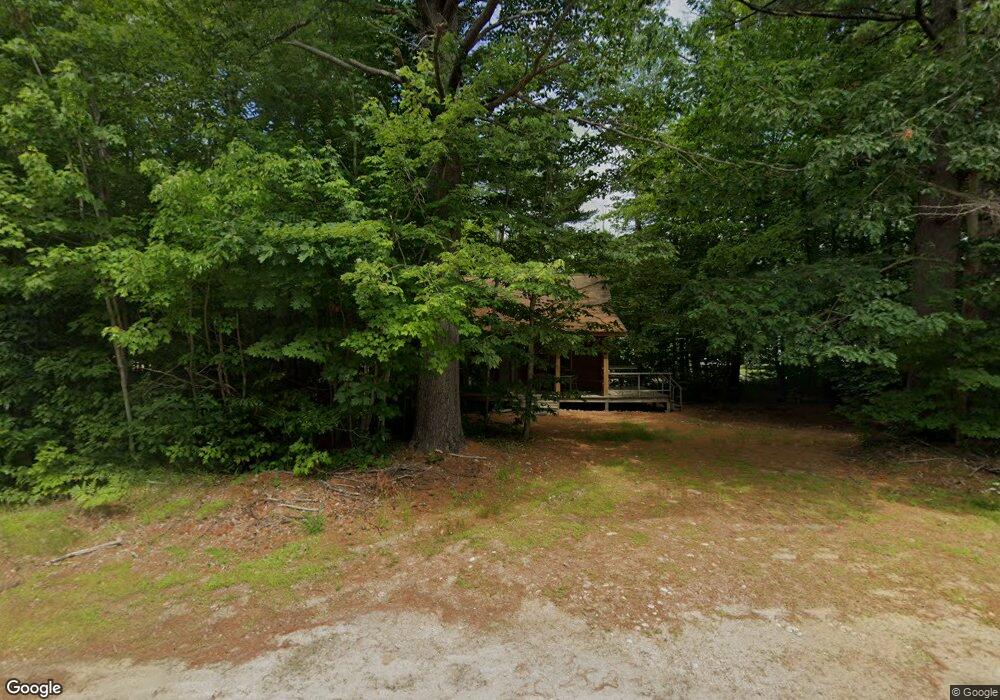
135 Kancamangus Hwy Conway, NH 03818
Estimated Value: $311,000 - $349,000
1
Bed
2
Baths
763
Sq Ft
$433/Sq Ft
Est. Value
About This Home
This home is located at 135 Kancamangus Hwy, Conway, NH 03818 and is currently estimated at $330,672, approximately $433 per square foot. 135 Kancamangus Hwy is a home with nearby schools including A. Crosby Kennett Middle School, Kennett High School, and Robert Frost Charter School.
Ownership History
Date
Name
Owned For
Owner Type
Purchase Details
Closed on
Aug 25, 2005
Sold by
Duffy Raymond J and Duffy Monica M
Bought by
Demasi Stephen M
Current Estimated Value
Home Financials for this Owner
Home Financials are based on the most recent Mortgage that was taken out on this home.
Original Mortgage
$164,250
Outstanding Balance
$86,933
Interest Rate
5.68%
Estimated Equity
$243,739
Create a Home Valuation Report for This Property
The Home Valuation Report is an in-depth analysis detailing your home's value as well as a comparison with similar homes in the area
Home Values in the Area
Average Home Value in this Area
Purchase History
| Date | Buyer | Sale Price | Title Company |
|---|---|---|---|
| Demasi Stephen M | $182,500 | -- |
Source: Public Records
Mortgage History
| Date | Status | Borrower | Loan Amount |
|---|---|---|---|
| Open | Demasi Stephen M | $164,250 |
Source: Public Records
Tax History Compared to Growth
Tax History
| Year | Tax Paid | Tax Assessment Tax Assessment Total Assessment is a certain percentage of the fair market value that is determined by local assessors to be the total taxable value of land and additions on the property. | Land | Improvement |
|---|---|---|---|---|
| 2024 | $3,756 | $292,300 | $92,000 | $200,300 |
| 2023 | $3,484 | $292,300 | $92,000 | $200,300 |
| 2022 | $2,779 | $142,800 | $53,500 | $89,300 |
| 2021 | $2,333 | $142,800 | $53,500 | $89,300 |
| 2020 | $2,622 | $142,800 | $53,500 | $89,300 |
| 2019 | $2,473 | $142,800 | $53,500 | $89,300 |
| 2018 | $2,737 | $125,900 | $53,500 | $72,400 |
| 2017 | $2,515 | $125,900 | $53,500 | $72,400 |
| 2016 | $2,431 | $125,900 | $53,500 | $72,400 |
| 2015 | $2,403 | $125,900 | $53,500 | $72,400 |
| 2014 | $2,374 | $125,900 | $53,500 | $72,400 |
| 2013 | $2,283 | $127,800 | $53,500 | $74,300 |
Source: Public Records
Map
Nearby Homes
- 40 Butternut Ln
- 123 Oxbow Ln
- 115 Swift Valley Rd
- 77 Kennett St
- 12 Oxbow Ln
- 6 Main St
- 20 Washington St
- 0 W Side Rd Unit 54 5049810
- 39 Vista View Rd Unit D1
- 515 W Side Rd
- 64 Grandview Rd
- lots42,43,44,49 G St
- 68 Grandview Rd
- 9 E Side Rd
- 58 Wilder St
- 86 I St
- 122 Mountain View Dr
- 237 Eaton Rd
- 196 E Main St Unit 5 (old 103)
- 7 Wildwood Rd
- 117 Kancamangus Hwy
- 112 Kancamangus Hwy
- 112 Kancamangus Hwy Unit 3
- 49 Butternut Ln
- 148 Kancamangus Hwy
- 46 Robert Morrell Dr
- 51 Butternut Ln
- 128 Kancamagus Hwy
- 112 New Hampshire 112
- 18 Butternut Ln
- 96 Kancamangus Hwy
- 4 Robert Morrell Dr
- 27 Butternut Ln
- 32 Robert Morrell Dr
- 66 Robert Morrell Dr
- 24 Robert Morrell Dr
- 17 Butternut Ln
- 5 Butternut Ln
- 65 Robert Morrell Dr
- 165 Thorne Hill Rd