135 Lick Log Ln Mount Airy, GA 30563
Estimated Value: $292,000 - $367,000
3
Beds
2
Baths
1,842
Sq Ft
$179/Sq Ft
Est. Value
About This Home
This home is located at 135 Lick Log Ln, Mount Airy, GA 30563 and is currently estimated at $330,544, approximately $179 per square foot. 135 Lick Log Ln is a home located in Habersham County with nearby schools including Cornelia Elementary School, Habersham Success Academy, and Wilbanks Middle School.
Ownership History
Date
Name
Owned For
Owner Type
Purchase Details
Closed on
Apr 1, 2007
Sold by
Not Provided
Bought by
Smith Jonnie Marie
Current Estimated Value
Home Financials for this Owner
Home Financials are based on the most recent Mortgage that was taken out on this home.
Original Mortgage
$198,900
Outstanding Balance
$119,929
Interest Rate
6.1%
Mortgage Type
New Conventional
Estimated Equity
$210,615
Create a Home Valuation Report for This Property
The Home Valuation Report is an in-depth analysis detailing your home's value as well as a comparison with similar homes in the area
Home Values in the Area
Average Home Value in this Area
Purchase History
| Date | Buyer | Sale Price | Title Company |
|---|---|---|---|
| Smith Jonnie Marie | -- | -- |
Source: Public Records
Mortgage History
| Date | Status | Borrower | Loan Amount |
|---|---|---|---|
| Open | Smith Jonnie Marie | $198,900 |
Source: Public Records
Tax History Compared to Growth
Tax History
| Year | Tax Paid | Tax Assessment Tax Assessment Total Assessment is a certain percentage of the fair market value that is determined by local assessors to be the total taxable value of land and additions on the property. | Land | Improvement |
|---|---|---|---|---|
| 2025 | $2,094 | $125,244 | $27,158 | $98,086 |
| 2024 | -- | $86,348 | $11,384 | $74,964 |
| 2023 | $1,047 | $73,392 | $11,384 | $62,008 |
| 2022 | $1,568 | $62,076 | $11,384 | $50,692 |
| 2021 | $1,394 | $55,632 | $10,436 | $45,196 |
| 2020 | $1,274 | $49,268 | $10,436 | $38,832 |
| 2019 | $1,275 | $49,268 | $10,436 | $38,832 |
| 2018 | $1,265 | $49,268 | $10,436 | $38,832 |
| 2017 | $1,180 | $45,848 | $10,436 | $35,412 |
| 2016 | $1,143 | $114,620 | $10,436 | $35,412 |
| 2015 | $1,130 | $114,620 | $10,436 | $35,412 |
| 2014 | $1,127 | $112,360 | $10,436 | $34,508 |
| 2013 | -- | $44,944 | $10,436 | $34,508 |
Source: Public Records
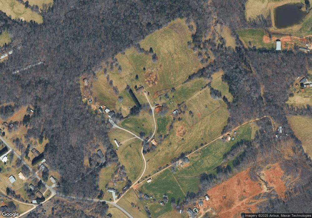
Map
Nearby Homes
- 221 Mcallister Rd
- 0 Blair Rd Unit 10343806
- 16.8AC Camp Creek Rd
- 280 Lawrence St
- 1576 Chase Rd
- 161 Wayward Winds Dr
- 473 Linwood Dr
- 820 Camp Creek Rd
- 238 Ivy Hills Cir
- 357 Sundew Ln
- 133 Hillandale St
- 240 Sugar Maple Dr
- 600 Elrod St
- 203 Russell Woods Dr
- 2894 Chase Rd
- 530 Grandview Ave
- 432 Nancy Town Rd
- 0 Furniture Dr Unit 7545752
- 0 Furniture Dr Unit 10484163
- 115 Northridge Dr
- 131 Lick Log Ln
- 139 Lick Log Ln
- 1009 Demorest Mount Airy Hwy
- 1012 Demorest Mount Airy Hwy
- 136 Lick Log Ln
- 251 Lick Log Ln
- 176 Kin Folk Ln
- 899 Demorest Mount Airy Hwy
- 102 Kin Folk Ln
- 1207 Demorest Mount Airy Hwy
- 1101 Demorest Mount Airy Hwy
- 1121 Demorest Mount Airy Hwy
- 196 Kin Folk Ln
- 1015 Demorest Mount Airy Hwy
- 1082 Demorest Mt Airy Hwy
- 1082 Demorest Mount Airy Hwy
- 1214 Demorest Mount Airy Hwy
- 1213 Demorest Mount Airy Hwy
- 1096 Demorest Mount Airy Hwy
- 1152 Demorest Mount Airy Hwy