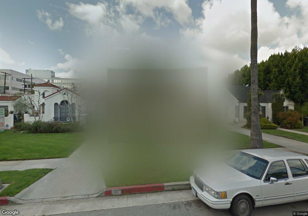
135 N Carson Rd Beverly Hills, CA 90211
Estimated Value: $2,265,000 - $2,480,000
3
Beds
2
Baths
1,747
Sq Ft
$1,342/Sq Ft
Est. Value
About This Home
This home is located at 135 N Carson Rd, Beverly Hills, CA 90211 and is currently estimated at $2,343,825, approximately $1,341 per square foot. 135 N Carson Rd is a home located in Los Angeles County with nearby schools including Horace Mann Elementary School, Beverly Hills High School, and Rabbi Jacob Pressman Academy.
Ownership History
Date
Name
Owned For
Owner Type
Purchase Details
Closed on
May 15, 2008
Sold by
Rips Joseph David and Irving & Grace B Rips Living T
Bought by
Sakhai Joseph
Current Estimated Value
Home Financials for this Owner
Home Financials are based on the most recent Mortgage that was taken out on this home.
Original Mortgage
$903,000
Interest Rate
7%
Mortgage Type
New Conventional
Purchase Details
Closed on
Nov 23, 1993
Sold by
Rips Irving and Rips Grace B
Bought by
Rips Irving
Create a Home Valuation Report for This Property
The Home Valuation Report is an in-depth analysis detailing your home's value as well as a comparison with similar homes in the area
Home Values in the Area
Average Home Value in this Area
Purchase History
| Date | Buyer | Sale Price | Title Company |
|---|---|---|---|
| Sakhai Joseph | $1,226,000 | North American Title Company | |
| Rips Irving | -- | -- |
Source: Public Records
Mortgage History
| Date | Status | Borrower | Loan Amount |
|---|---|---|---|
| Previous Owner | Sakhai Joseph | $903,000 |
Source: Public Records
Tax History
| Year | Tax Paid | Tax Assessment Tax Assessment Total Assessment is a certain percentage of the fair market value that is determined by local assessors to be the total taxable value of land and additions on the property. | Land | Improvement |
|---|---|---|---|---|
| 2025 | $18,791 | $1,581,462 | $1,287,241 | $294,221 |
| 2024 | $18,791 | $1,550,453 | $1,262,001 | $288,452 |
| 2023 | $18,455 | $1,520,053 | $1,237,256 | $282,797 |
| 2022 | $17,929 | $1,490,249 | $1,212,997 | $277,252 |
| 2021 | $17,405 | $1,461,029 | $1,189,213 | $271,816 |
| 2019 | $16,904 | $1,417,696 | $1,153,942 | $263,754 |
| 2018 | $16,164 | $1,389,899 | $1,131,316 | $258,583 |
| 2016 | $15,512 | $1,335,930 | $1,087,387 | $248,543 |
| 2015 | $14,848 | $1,315,864 | $1,071,054 | $244,810 |
| 2014 | $14,357 | $1,290,089 | $1,050,074 | $240,015 |
Source: Public Records
Map
Nearby Homes
- 140 N Carson Rd
- 143 N Arnaz Dr Unit 102
- 143 N Arnaz Dr Unit 304
- 489 S Willaman Dr
- 205 S Hamel Dr
- 137 N Hamilton Dr
- 155 N Hamilton Dr Unit 102
- 432 S Willaman Dr Unit 401
- 432 S Hamel Rd Unit 302
- 112 N Hamilton Dr Unit 305
- 125 N Gale Dr Unit 205
- 411 S Hamel Rd Unit 106
- 138 N Swall Dr
- 820 S Bedford St Unit 105
- 8642 Gregory Way Unit 204
- 8642 Gregory Way Unit 202
- 828 S Bedford St Unit 202
- 6743 Colgate Ave
- 8611 Burton Way Unit 6
- 225 S Hamilton Dr Unit 102
- 133 N Carson Rd
- 137 N Carson Rd
- 131 N Carson Rd Unit Studio
- 131 N Carson Rd
- 139 N Carson Rd
- 136 N Willaman Dr
- 134 N Willaman Dr
- 138 N Willaman Dr
- 141 N Carson Rd
- 129 N Carson Rd
- 132 N Willaman Dr
- 140 N Willaman Dr
- 136 N Carson Rd
- 138 N Carson Rd
- 134 N Carson Rd
- 142 N Willaman Dr
- 143 N Carson Rd
- 132 N Carson Rd Unit A
- 132 N Carson Rd Unit B
- 132 N Carson Rd
Your Personal Tour Guide
Ask me questions while you tour the home.