135 Shepherds Way Unit 37 Morganton, GA 30560
Estimated Value: $625,000 - $830,000
3
Beds
3
Baths
3,668
Sq Ft
$203/Sq Ft
Est. Value
About This Home
This home is located at 135 Shepherds Way Unit 37, Morganton, GA 30560 and is currently estimated at $744,344, approximately $202 per square foot. 135 Shepherds Way Unit 37 is a home located in Fannin County with nearby schools including Fannin County High School.
Ownership History
Date
Name
Owned For
Owner Type
Purchase Details
Closed on
Jan 29, 2018
Sold by
Trustee Bredbenner Billie A Bredbenner Billie
Bought by
Heerema John R and Heerema Kathleen M
Current Estimated Value
Purchase Details
Closed on
Jun 27, 2005
Sold by
Bredbenner Ralph I
Bought by
Bredbenner Ralph I and Bredbenner Billie
Purchase Details
Closed on
Oct 31, 2003
Sold by
New Creation Land Developers Inc
Bought by
Bredbenner Ralph I and Bredbenner Billie A
Create a Home Valuation Report for This Property
The Home Valuation Report is an in-depth analysis detailing your home's value as well as a comparison with similar homes in the area
Home Values in the Area
Average Home Value in this Area
Purchase History
| Date | Buyer | Sale Price | Title Company |
|---|---|---|---|
| Heerema John R | $399,000 | -- | |
| Bredbenner Ralph I | -- | -- | |
| Bredbenner Ralph I | $285,000 | -- |
Source: Public Records
Tax History Compared to Growth
Tax History
| Year | Tax Paid | Tax Assessment Tax Assessment Total Assessment is a certain percentage of the fair market value that is determined by local assessors to be the total taxable value of land and additions on the property. | Land | Improvement |
|---|---|---|---|---|
| 2024 | $1,477 | $184,948 | $10,800 | $174,148 |
| 2023 | $1,285 | $161,485 | $10,800 | $150,685 |
| 2022 | $1,484 | $163,538 | $10,800 | $152,738 |
| 2021 | $1,458 | $106,007 | $10,800 | $95,207 |
| 2020 | $1,511 | $106,007 | $10,800 | $95,207 |
| 2019 | $1,540 | $106,007 | $10,800 | $95,207 |
| 2018 | $1,588 | $103,081 | $10,800 | $92,281 |
| 2017 | $2,090 | $118,105 | $23,520 | $94,585 |
| 2016 | $1,836 | $108,116 | $23,520 | $84,596 |
| 2015 | $1,808 | $101,868 | $23,520 | $78,348 |
| 2014 | $1,940 | $110,141 | $23,520 | $86,621 |
| 2013 | -- | $98,108 | $23,520 | $74,588 |
Source: Public Records
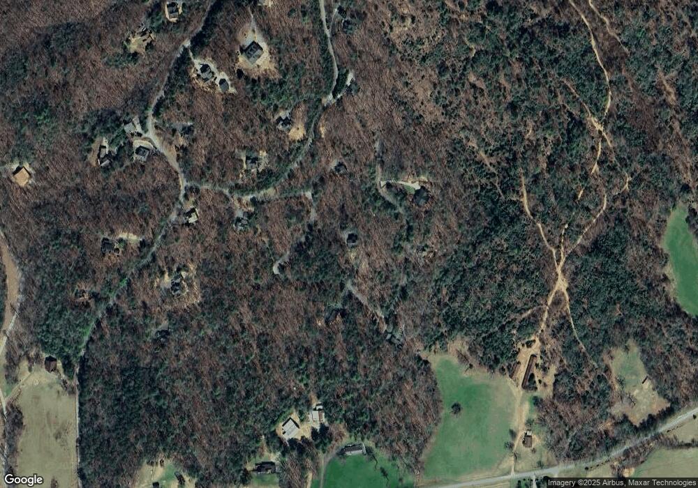
Map
Nearby Homes
- Lot 38 Shepherds Way
- 366 Shepherds Way
- 180 Shepherds Ridge
- 455 Shepherds Walk
- 77 Beaver's Cove
- 74 Shepherds Trail
- 0 N Burgess Gap Rd Unit 24911808
- 0 N Burgess Gap Rd Unit 10610901
- Lot 37 Picklesimer Mountain Rd
- Lot 4 Picklesimer Mountain Rd
- Lot 38 Picklesimer Mountain Rd
- 116 Channing Ridge Rd Unit 10
- 116 Channing Ridge Rd
- 16 Enchanting Cir
- 305 Enchanting Cir
- 16810 Morganton Hwy
- 51 Last Chance Gulch
- 224 Eagle Ridge
- 2722 Daves Rd
- 145 Hoot Owl Ridge
- 135 Shepherds Way
- LOT31 Shepherds Way
- LOT38 Shepherds Way
- 134* Shepherds Way
- 134 Shepherds Way
- 0 Shepherds Way Unit 7438011
- 0 Shepherds Way Unit Lot 33 8471195
- 0 Shepherds Way
- 136 Shepherds Way
- 174 Shepherds Way
- 174 Shepherds Way Unit 30
- 31 Shepherds Way
- LT 38 Shepherds Way
- 0 Lt 38 Shepherds Way Unit 313343
- 33 Shepherds Way
- 33 Shepherds Way
- 366 Shepherds Way Unit 32
- # 31 Shepherd's Ridge
- 36 Shepherds Walk
- 0 Shepherds Walk Unit 41 8439798