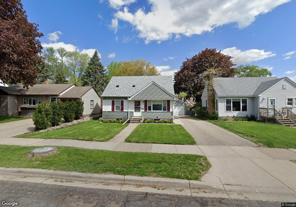
135 Stanley St Saint Paul, MN 55118
Estimated Value: $294,395 - $321,000
3
Beds
2
Baths
975
Sq Ft
$314/Sq Ft
Est. Value
About This Home
This home is located at 135 Stanley St, Saint Paul, MN 55118 and is currently estimated at $306,599, approximately $314 per square foot. 135 Stanley St is a home located in Dakota County with nearby schools including Moreland Arts & Health Sciences Magnet School, Heritage E-STEM Magnet School, and Two Rivers High School.
Ownership History
Date
Name
Owned For
Owner Type
Purchase Details
Closed on
Mar 28, 2018
Sold by
Peterson Gregory and Peterson Valerie P
Bought by
Dohmen Brian A and Dohmen Amy M
Current Estimated Value
Home Financials for this Owner
Home Financials are based on the most recent Mortgage that was taken out on this home.
Original Mortgage
$136,000
Outstanding Balance
$116,596
Interest Rate
4.4%
Mortgage Type
New Conventional
Estimated Equity
$190,003
Purchase Details
Closed on
Nov 30, 2006
Sold by
Petersen Gregory and Petersen Valerie P
Bought by
Petersen Gregory and Petersen Valerie P
Create a Home Valuation Report for This Property
The Home Valuation Report is an in-depth analysis detailing your home's value as well as a comparison with similar homes in the area
Home Values in the Area
Average Home Value in this Area
Purchase History
| Date | Buyer | Sale Price | Title Company |
|---|---|---|---|
| Dohmen Brian A | $170,000 | Dca Title | |
| Petersen Gregory | $90,000 | -- |
Source: Public Records
Mortgage History
| Date | Status | Borrower | Loan Amount |
|---|---|---|---|
| Open | Dohmen Brian A | $136,000 |
Source: Public Records
Tax History Compared to Growth
Tax History
| Year | Tax Paid | Tax Assessment Tax Assessment Total Assessment is a certain percentage of the fair market value that is determined by local assessors to be the total taxable value of land and additions on the property. | Land | Improvement |
|---|---|---|---|---|
| 2024 | $2,950 | $246,400 | $63,600 | $182,800 |
| 2023 | $2,950 | $250,700 | $67,300 | $183,400 |
| 2022 | $2,528 | $242,400 | $67,100 | $175,300 |
| 2021 | $2,378 | $208,100 | $58,300 | $149,800 |
| 2020 | $2,254 | $196,100 | $55,600 | $140,500 |
| 2019 | $2,065 | $182,800 | $52,900 | $129,900 |
| 2018 | $2,163 | $163,100 | $49,500 | $113,600 |
| 2017 | $1,975 | $156,100 | $47,100 | $109,000 |
| 2016 | $1,963 | $138,100 | $42,800 | $95,300 |
| 2015 | $1,793 | $111,763 | $34,338 | $77,425 |
| 2014 | -- | $96,067 | $30,635 | $65,432 |
| 2013 | -- | $93,560 | $28,068 | $65,492 |
Source: Public Records
Map
Nearby Homes
- 167 Butler Ave E
- 1107 Oakdale Ave
- 191 Altman Ct
- 254 Arion St E
- 1076 Humboldt Ave
- 150 Westchester Dr
- 272 Butler Ave E
- 151 Haskell St E
- 1084 Hall Ave
- 1251 Macarthur Ave
- 1243 Oakdale Ave
- 1252 Calumet Ave
- 316 Bernard St E
- 188 Wyoming St E
- 31 Annapolis St E
- 297 Hurley St E
- 69 Amelia Ave
- 1057 Winslow Ave
- 1325 Calumet Ave
- 1277 Hall Ave
- 141 Stanley St
- 131 Stanley St
- 145 Stanley St
- 130 130 Stanley St
- 125 Stanley St
- 136 Arion St E
- 125 125 Stanley-Avenue-e
- 140 Arion St E
- 130 Arion St E
- 151 Stanley St
- 144 Arion St E
- 124 Arion St E
- 130 Stanley St
- 148 Arion St E
- 130 Stanley St
- 140 Stanley St
- 157 Stanley St
- 144 Stanley St
- 1074 Robert St S
- 1074 S Robert St