Estimated Value: $559,000 - $907,000
5
Beds
5
Baths
6,530
Sq Ft
$107/Sq Ft
Est. Value
About This Home
This home is located at 1350 Dannie Dr, Logan, OH 43138 and is currently estimated at $700,058, approximately $107 per square foot. 1350 Dannie Dr is a home with nearby schools including Central Elementary School, St. John the Evangelist School, and Logan Christian School.
Ownership History
Date
Name
Owned For
Owner Type
Purchase Details
Closed on
May 2, 2004
Bought by
Brooks Jason S and Brooks
Current Estimated Value
Create a Home Valuation Report for This Property
The Home Valuation Report is an in-depth analysis detailing your home's value as well as a comparison with similar homes in the area
Home Values in the Area
Average Home Value in this Area
Purchase History
| Date | Buyer | Sale Price | Title Company |
|---|---|---|---|
| Brooks Jason S | $325,000 | -- |
Source: Public Records
Tax History
| Year | Tax Paid | Tax Assessment Tax Assessment Total Assessment is a certain percentage of the fair market value that is determined by local assessors to be the total taxable value of land and additions on the property. | Land | Improvement |
|---|---|---|---|---|
| 2024 | $6,914 | $151,930 | $26,810 | $125,120 |
| 2023 | $5,989 | $151,930 | $26,810 | $125,120 |
| 2022 | $5,998 | $151,930 | $26,810 | $125,120 |
| 2021 | $4,575 | $107,320 | $21,230 | $86,090 |
| 2020 | $4,577 | $107,320 | $21,230 | $86,090 |
| 2019 | $4,578 | $107,320 | $21,230 | $86,090 |
| 2018 | $4,329 | $103,330 | $17,240 | $86,090 |
| 2017 | $4,077 | $103,330 | $17,240 | $86,090 |
| 2016 | $4,048 | $103,330 | $17,240 | $86,090 |
| 2015 | $5,190 | $127,780 | $16,460 | $111,320 |
| 2014 | $5,190 | $127,780 | $16,460 | $111,320 |
| 2013 | $5,211 | $127,780 | $16,460 | $111,320 |
Source: Public Records
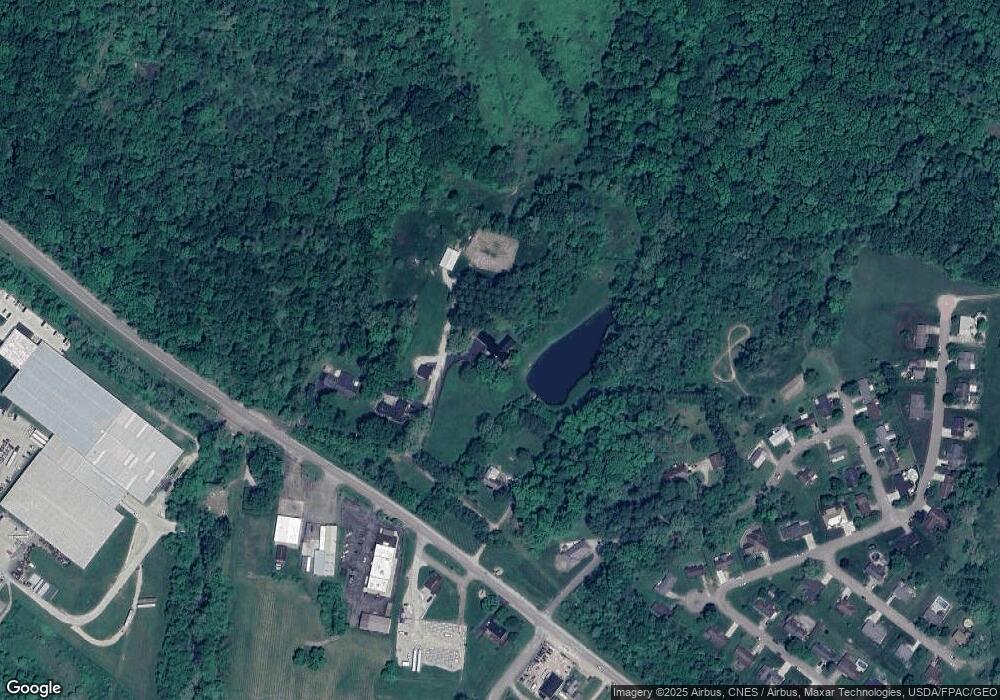
Map
Nearby Homes
- 1300 Dannie Dr
- 882 E Main St
- 1233 Ohio Ave
- 1257 Ohio Ave
- 600 E 2nd St
- 846 Elizabeth Ave
- 538 Kerlin Ave
- State Route 328
- 0 Clay Bank Rd
- 12893 Maysville Williams Rd
- 621 N Walnut St
- 733 Walnut Dr
- 28578 Hawthorne Way
- 28654 Hawthorne Way Unit Lot 8
- 849 Mohican Ave
- 48 Hill St
- 75 Hill St
- 226 W Front St
- 743 Summit Dr
- 235 W Main St
- 1400 Dannie Dr
- 1250 Dannie Dr
- 483 Gateway Dr
- 493 Gateway Dr
- 0 E Front St
- 1369 E Front St
- 1265 E Front St
- 570 Gateway Dr
- 479 Highland Dr
- 483 Highland Dr
- 584 Gateway Dr
- 1449 E Front St
- 493 Highland Dr
- 596 Gateway Dr
- 475 Highland Dr
- 503 Highland Dr
- 000 Highland Park Rd
- 623 Wyandotte Dr
- 587 Gateway Dr
- 1519 E Front St
Your Personal Tour Guide
Ask me questions while you tour the home.