Estimated Value: $298,000 - $362,000
3
Beds
2
Baths
1,880
Sq Ft
$179/Sq Ft
Est. Value
About This Home
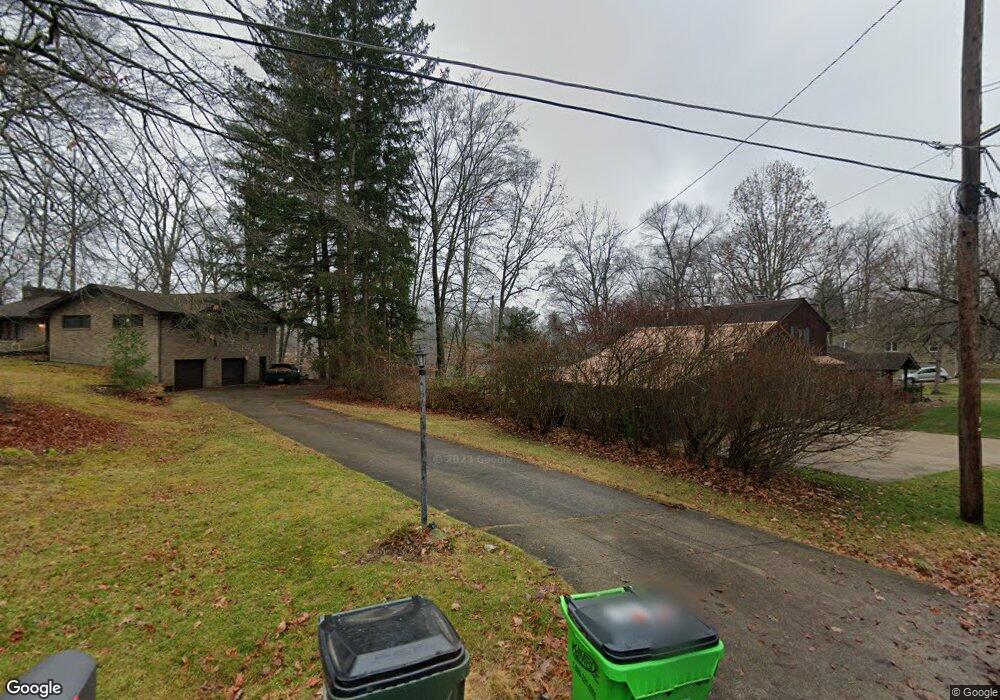
This home is located at 1350 Mac Dr, Stow, OH 44224 and is currently estimated at $335,808, approximately $178 per square foot. 1350 Mac Dr is a home located in Summit County with nearby schools including Stow-Munroe Falls High School, Primrose School of Hudson, and Holy Family Elementary School.
Ownership History
Date
Name
Owned For
Owner Type
Purchase Details
Closed on
Sep 8, 2003
Sold by
Simpson Richard J
Bought by
Simpson Helen M
Current Estimated Value
Purchase Details
Closed on
Oct 25, 1996
Sold by
Buckler Jeffrey M
Bought by
Simpson Richard J and Simpson Helen M
Home Financials for this Owner
Home Financials are based on the most recent Mortgage that was taken out on this home.
Original Mortgage
$112,800
Outstanding Balance
$9,649
Interest Rate
10.25%
Mortgage Type
New Conventional
Estimated Equity
$326,159
Create a Home Valuation Report for This Property
The Home Valuation Report is an in-depth analysis detailing your home's value as well as a comparison with similar homes in the area
Home Values in the Area
Average Home Value in this Area
Purchase History
| Date | Buyer | Sale Price | Title Company |
|---|---|---|---|
| Simpson Helen M | -- | -- | |
| Simpson Richard J | $161,200 | -- |
Source: Public Records
Mortgage History
| Date | Status | Borrower | Loan Amount |
|---|---|---|---|
| Open | Simpson Richard J | $112,800 |
Source: Public Records
Tax History
| Year | Tax Paid | Tax Assessment Tax Assessment Total Assessment is a certain percentage of the fair market value that is determined by local assessors to be the total taxable value of land and additions on the property. | Land | Improvement |
|---|---|---|---|---|
| 2025 | $6,284 | $109,991 | $24,857 | $85,134 |
| 2024 | $6,284 | $109,991 | $24,857 | $85,134 |
| 2023 | $6,284 | $109,991 | $24,857 | $85,134 |
| 2022 | $5,298 | $81,568 | $18,414 | $63,154 |
| 2021 | $4,753 | $81,568 | $18,414 | $63,154 |
| 2020 | $4,672 | $81,560 | $18,410 | $63,150 |
| 2019 | $4,230 | $68,780 | $17,310 | $51,470 |
| 2018 | $4,162 | $68,780 | $17,310 | $51,470 |
| 2017 | $4,012 | $68,780 | $17,310 | $51,470 |
| 2016 | $4,113 | $64,350 | $17,310 | $47,040 |
| 2015 | $4,012 | $64,350 | $17,310 | $47,040 |
| 2014 | $4,016 | $64,350 | $17,310 | $47,040 |
| 2013 | $3,936 | $63,430 | $17,310 | $46,120 |
Source: Public Records
Map
Nearby Homes
- 0 Hibbard Dr
- 1525 Spruce Hill Dr
- 5123 Sodalite Dr
- 4623 Cox Dr
- 5091 Ridge Meadow Dr
- 1921-1929 Ritchie Rd
- 2279 Becket Cir
- 2352 Becket Cir
- V/L Housley Rd
- V/L Norton Rd
- 5150 Bayside Lake Blvd
- 1961 Arndale Rd
- 1953 Arndale Rd
- 2221 Crockett Cir
- 5163 Beckett Ridge
- 4424 Timberdale Dr Unit 4428
- 1995 Weston Dr
- 734 Barlow Rd
- V/L Diplomat Dr
- 5866 Ogilby Dr
- 1350 Mac Dr
- 1350 Mac Dr
- 1350 Mac Dr
- 1338 Mac Dr
- 1368 Mac Dr
- 1326 Mac Dr
- 1374 Mac Dr Unit 1378
- 1385 Mctaggart Rd Unit 1387
- 1320 Mac Dr Unit 1324
- 1320 Mac Dr Unit 1324
- 1320 Mac Dr
- 1320 1324 Mac Dr
- 1345 Mac Dr
- 1387 Mctaggart Rd
- 1343 Mac Dr
- 1388 Mac Dr
- 0 Mac Dr Unit 4458259
- 1333 Mac Dr
- 1323 Mac Dr
- 1310 Mac Dr
Your Personal Tour Guide
Ask me questions while you tour the home.