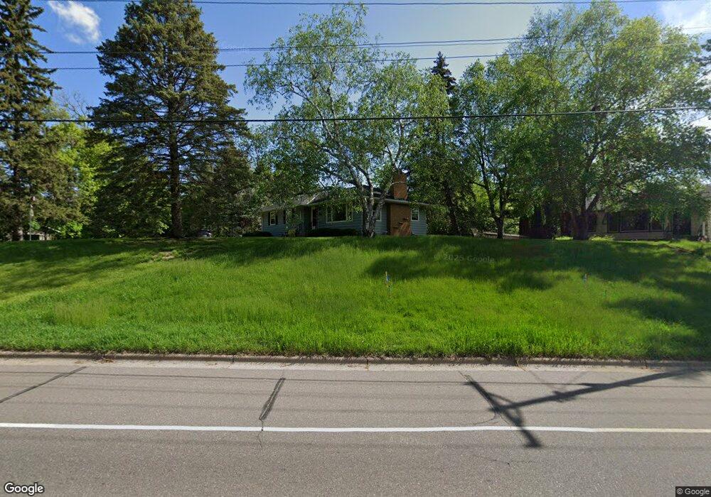
1350 Oakdale Ave Saint Paul, MN 55118
Estimated Value: $348,448 - $402,000
3
Beds
2
Baths
1,668
Sq Ft
$223/Sq Ft
Est. Value
About This Home
This home is located at 1350 Oakdale Ave, Saint Paul, MN 55118 and is currently estimated at $371,612, approximately $222 per square foot. 1350 Oakdale Ave is a home located in Dakota County with nearby schools including Garlough Environmental Magnet, Heritage E-STEM Magnet School, and Two Rivers High School.
Ownership History
Date
Name
Owned For
Owner Type
Purchase Details
Closed on
Aug 28, 2014
Sold by
Rauer Roxanne E
Bought by
Pothen Thomas C and Pothen Sharon E
Current Estimated Value
Home Financials for this Owner
Home Financials are based on the most recent Mortgage that was taken out on this home.
Original Mortgage
$175,750
Outstanding Balance
$134,349
Interest Rate
4.1%
Mortgage Type
New Conventional
Estimated Equity
$237,263
Create a Home Valuation Report for This Property
The Home Valuation Report is an in-depth analysis detailing your home's value as well as a comparison with similar homes in the area
Home Values in the Area
Average Home Value in this Area
Purchase History
| Date | Buyer | Sale Price | Title Company |
|---|---|---|---|
| Pothen Thomas C | $185,000 | Title Recording Services |
Source: Public Records
Mortgage History
| Date | Status | Borrower | Loan Amount |
|---|---|---|---|
| Open | Pothen Thomas C | $175,750 |
Source: Public Records
Tax History Compared to Growth
Tax History
| Year | Tax Paid | Tax Assessment Tax Assessment Total Assessment is a certain percentage of the fair market value that is determined by local assessors to be the total taxable value of land and additions on the property. | Land | Improvement |
|---|---|---|---|---|
| 2024 | $3,882 | $318,200 | $90,900 | $227,300 |
| 2023 | $3,882 | $320,500 | $96,200 | $224,300 |
| 2022 | $3,294 | $307,900 | $95,900 | $212,000 |
| 2021 | $3,094 | $261,800 | $83,400 | $178,400 |
| 2020 | $2,998 | $246,000 | $79,400 | $166,600 |
| 2019 | $2,800 | $233,000 | $75,600 | $157,400 |
| 2018 | $2,571 | $210,200 | $70,700 | $139,500 |
| 2017 | $2,372 | $202,600 | $67,400 | $135,200 |
| 2016 | $2,327 | $182,300 | $61,200 | $121,100 |
| 2015 | $2,135 | $158,415 | $53,040 | $105,375 |
| 2014 | -- | $140,321 | $47,980 | $92,341 |
| 2013 | -- | $130,293 | $43,572 | $86,721 |
Source: Public Records
Map
Nearby Homes
- 203 Moreland Ave E
- 1251 Macarthur Ave
- 273 Butler Ave E
- 1523 Traverse Ln
- 1520 Traverse Ln
- 1522 Traverse Ln
- 360 Trenton Ln
- 1532 Trellis Ln
- Bayfield Plan at Thompson Square East
- Capri Plan at Thompson Square East
- 1531 Traverse Ln
- Hayward Plan at Thompson Square East
- Barcelona Plan at Thompson Square East
- Athens II Plan at Thompson Square East
- Athens Plan at Thompson Square East
- 1524 Traverse Ln
- 1107 Oakdale Ave
- 1526 Traverse Ln
- 1530 Trellis Ln
- 1534 Trellis Ln
- 270 Logan Ave E
- 270 Logan Ave E
- 280 Logan Ave E
- 1352 Oakdale Ave
- 288 Logan Ave E
- 270 270 Logan-Avenue-e
- 291 Emerson Ave E
- 259 Logan Ave E
- 296 Logan Ave E
- 1310 Stassen Dr
- 303 Emerson Ave E
- 1313 Stassen Dr
- 1363 Carrie St
- 302 Logan Ave E
- 1320 Oakdale Ave
- 291 Kopp Dr
- 1320 1320 Oakdale Ave
- 264 Emerson Ave E
- 232 232 Emerson-Avenue-e
- 1302 Stassen Dr