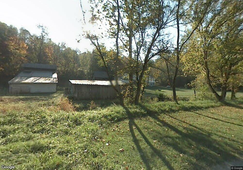
1350 Paw Paw Creek Rd Lower Salem, OH 45745
Estimated Value: $167,238 - $284,000
2
Beds
1
Bath
1,040
Sq Ft
$206/Sq Ft
Est. Value
About This Home
This home is located at 1350 Paw Paw Creek Rd, Lower Salem, OH 45745 and is currently estimated at $213,746, approximately $205 per square foot. 1350 Paw Paw Creek Rd is a home located in Washington County with nearby schools including Fort Frye High School.
Ownership History
Date
Name
Owned For
Owner Type
Purchase Details
Closed on
Oct 14, 2011
Sold by
Fleming Richard
Bought by
Fleming Garrett A
Current Estimated Value
Home Financials for this Owner
Home Financials are based on the most recent Mortgage that was taken out on this home.
Original Mortgage
$76,000
Interest Rate
5.95%
Mortgage Type
Adjustable Rate Mortgage/ARM
Create a Home Valuation Report for This Property
The Home Valuation Report is an in-depth analysis detailing your home's value as well as a comparison with similar homes in the area
Home Values in the Area
Average Home Value in this Area
Purchase History
| Date | Buyer | Sale Price | Title Company |
|---|---|---|---|
| Fleming Garrett A | $90,000 | Attorney |
Source: Public Records
Mortgage History
| Date | Status | Borrower | Loan Amount |
|---|---|---|---|
| Closed | Fleming Garrett A | $76,000 |
Source: Public Records
Tax History Compared to Growth
Tax History
| Year | Tax Paid | Tax Assessment Tax Assessment Total Assessment is a certain percentage of the fair market value that is determined by local assessors to be the total taxable value of land and additions on the property. | Land | Improvement |
|---|---|---|---|---|
| 2024 | $1,228 | $37,370 | $16,860 | $20,510 |
| 2023 | $1,228 | $37,370 | $16,860 | $20,510 |
| 2022 | $1,170 | $37,370 | $16,860 | $20,510 |
| 2021 | $856 | $26,250 | $12,750 | $13,500 |
| 2020 | $857 | $26,250 | $12,750 | $13,500 |
| 2019 | $856 | $26,250 | $12,750 | $13,500 |
| 2018 | $815 | $25,100 | $11,600 | $13,500 |
| 2017 | $818 | $25,100 | $11,600 | $13,500 |
| 2016 | $821 | $25,100 | $11,600 | $13,500 |
| 2015 | $823 | $24,080 | $9,790 | $14,290 |
| 2014 | $1,504 | $24,080 | $9,790 | $14,290 |
| 2013 | $412 | $24,080 | $9,790 | $14,290 |
Source: Public Records
Map
Nearby Homes
- 9865 State Route 821
- 2800 Tick Ridge Rd
- 65 Warner Second St
- 200 Frakes Rd
- 50 & 60 Railroad St
- 0 Highland Ridge Rd
- 3275 Highland Ridge Rd
- 0 Highland Ridge Rd
- 4595 Ohio 530
- 0 Township Highway 272
- 0 Stanleyville Rd
- 2115 Goss Fork Rd
- 9125 Highland Ridge Re
- 0 Dixon Ridge Rd Unit 5152245
- 9125 Highland Ridge Rd
- 34799 Paw Rd
- 0 Heddleson Ridge Unit 223033844
- Lot 4 Moss Run Rd
- 15545 Ohio 821
- 1 Brooks Ln