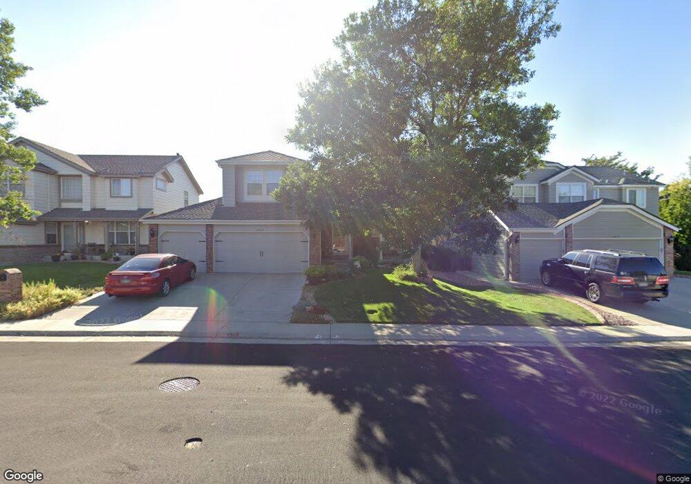
13503 Marion Dr Thornton, CO 80241
Hunters Glen NeighborhoodEstimated Value: $623,000 - $751,000
4
Beds
3
Baths
2,470
Sq Ft
$276/Sq Ft
Est. Value
About This Home
This home is located at 13503 Marion Dr, Thornton, CO 80241 and is currently estimated at $681,767, approximately $276 per square foot. 13503 Marion Dr is a home located in Adams County with nearby schools including Hunters Glen Elementary School, Century Middle School, and Mountain Range High School.
Ownership History
Date
Name
Owned For
Owner Type
Purchase Details
Closed on
Mar 28, 1997
Sold by
Kdb Homes Inc
Bought by
Mills Randall W and Mills Kelli L
Current Estimated Value
Home Financials for this Owner
Home Financials are based on the most recent Mortgage that was taken out on this home.
Original Mortgage
$147,000
Outstanding Balance
$18,443
Interest Rate
7.55%
Estimated Equity
$663,324
Create a Home Valuation Report for This Property
The Home Valuation Report is an in-depth analysis detailing your home's value as well as a comparison with similar homes in the area
Home Values in the Area
Average Home Value in this Area
Purchase History
| Date | Buyer | Sale Price | Title Company |
|---|---|---|---|
| Mills Randall W | $204,749 | -- |
Source: Public Records
Mortgage History
| Date | Status | Borrower | Loan Amount |
|---|---|---|---|
| Open | Mills Randall W | $147,000 |
Source: Public Records
Tax History Compared to Growth
Tax History
| Year | Tax Paid | Tax Assessment Tax Assessment Total Assessment is a certain percentage of the fair market value that is determined by local assessors to be the total taxable value of land and additions on the property. | Land | Improvement |
|---|---|---|---|---|
| 2024 | $3,830 | $41,940 | $10,560 | $31,380 |
| 2023 | $3,792 | $47,490 | $10,290 | $37,200 |
| 2022 | $3,097 | $35,060 | $10,570 | $24,490 |
| 2021 | $3,200 | $35,060 | $10,570 | $24,490 |
| 2020 | $4,012 | $35,960 | $10,880 | $25,080 |
| 2019 | $4,020 | $35,960 | $10,880 | $25,080 |
| 2018 | $3,686 | $32,030 | $9,730 | $22,300 |
| 2017 | $3,351 | $32,030 | $9,730 | $22,300 |
| 2016 | $3,038 | $28,270 | $6,730 | $21,540 |
| 2015 | $3,034 | $28,270 | $6,730 | $21,540 |
| 2014 | $2,859 | $24,780 | $6,000 | $18,780 |
Source: Public Records
Map
Nearby Homes
- 1282 E 135th Place
- 13748 Downing St
- 978 E 132nd Dr
- 1089 E 131st Dr
- 13398 Race St
- 13242 Pearl Cir
- 12931 Lafayette St Unit G
- 12905 Lafayette St Unit H
- 2275 E 129th Ave
- 12829 Claude Place
- 12992 Grant Cir E Unit A
- 12982 Grant Cir E Unit B
- 12962 Grant Cir E Unit A
- 12962 Grant Cir E Unit C
- 2746 E 132nd Place
- 13151 Grant Cir N Unit B
- 0 128th & Washington St
- 13540 Detroit St
- 2788 E 132nd Cir
- 12913 Grant Cir E Unit A
- 13483 Marion Dr
- 13513 Marion Dr
- 13533 Marion Dr
- 13473 Marion Dr
- 13514 Marion Dr
- 1326 E 135th Ave
- 13553 Marion Dr
- 13544 Marion Dr
- 13463 Marion Dr
- 13464 Marion Dr
- 1325 E 135th Ave
- 13474 Marion Dr
- 1346 E 135th Ave
- 13564 Marion Dr
- 13563 Marion Dr
- 1345 E 135th Ave
- 1338 E 135th Place
- 1366 E 135th Ave
- 13449 Lafayette St
- 13459 Lafayette St