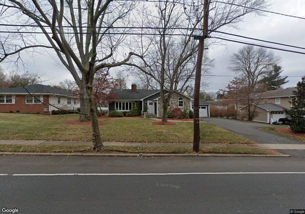
1351 E Broad St Westfield, NJ 07090
Estimated Value: $1,050,000 - $1,314,000
--
Bed
--
Bath
2,465
Sq Ft
$457/Sq Ft
Est. Value
About This Home
This home is located at 1351 E Broad St, Westfield, NJ 07090 and is currently estimated at $1,127,501, approximately $457 per square foot. 1351 E Broad St is a home located in Union County with nearby schools including Wilson Elementary School, Roosevelt Intermediate School, and Westfield Senior High School.
Ownership History
Date
Name
Owned For
Owner Type
Purchase Details
Closed on
Jun 27, 2007
Sold by
Colucci Richard V and Colucci Elizabeth P
Bought by
Damesek Daniel and Damesek Jill
Current Estimated Value
Home Financials for this Owner
Home Financials are based on the most recent Mortgage that was taken out on this home.
Original Mortgage
$500,000
Outstanding Balance
$312,190
Interest Rate
6.48%
Mortgage Type
New Conventional
Estimated Equity
$815,311
Purchase Details
Closed on
Aug 20, 1998
Sold by
Esrig Mark and Esrig Terese
Bought by
Colucci Richard and Colucci Elizabeth P
Home Financials for this Owner
Home Financials are based on the most recent Mortgage that was taken out on this home.
Original Mortgage
$225,000
Interest Rate
6.9%
Create a Home Valuation Report for This Property
The Home Valuation Report is an in-depth analysis detailing your home's value as well as a comparison with similar homes in the area
Home Values in the Area
Average Home Value in this Area
Purchase History
| Date | Buyer | Sale Price | Title Company |
|---|---|---|---|
| Damesek Daniel | $700,000 | None Available | |
| Colucci Richard | $300,000 | -- |
Source: Public Records
Mortgage History
| Date | Status | Borrower | Loan Amount |
|---|---|---|---|
| Open | Damesek Daniel | $500,000 | |
| Previous Owner | Colucci Richard | $225,000 |
Source: Public Records
Tax History Compared to Growth
Tax History
| Year | Tax Paid | Tax Assessment Tax Assessment Total Assessment is a certain percentage of the fair market value that is determined by local assessors to be the total taxable value of land and additions on the property. | Land | Improvement |
|---|---|---|---|---|
| 2025 | $15,597 | $692,600 | $370,500 | $322,100 |
| 2024 | $15,279 | $692,600 | $370,500 | $322,100 |
| 2023 | $15,279 | $692,600 | $370,500 | $322,100 |
| 2022 | $14,960 | $692,600 | $370,500 | $322,100 |
| 2021 | $14,981 | $692,600 | $370,500 | $322,100 |
| 2020 | $14,946 | $692,600 | $370,500 | $322,100 |
| 2019 | $14,891 | $692,600 | $370,500 | $322,100 |
| 2018 | $17,729 | $190,700 | $70,100 | $120,600 |
| 2017 | $17,632 | $190,700 | $70,100 | $120,600 |
| 2016 | $17,218 | $190,700 | $70,100 | $120,600 |
| 2015 | $16,875 | $190,700 | $70,100 | $120,600 |
| 2014 | $16,318 | $190,700 | $70,100 | $120,600 |
Source: Public Records
Map
Nearby Homes
- 41 C Sandra Cir Unit C3
- 58 B Sandra Cir Unit 1
- 820 E Broad St
- 131 Wells St
- 5 Penn Rd
- 112 Linden Ave
- 766 Oak Ave
- 3702 Park Place
- 529 Benson Place
- 508 N Chestnut St
- 3 Doering Way
- 8 Cedar St
- 1256 Poplar Ave
- 645 Kimball Ave
- 484 4th Ave Unit 9
- 401 Brookside Place
- 629 Tremont Ave
- 305 Cedar St
- 869 Standish Ave
- 874 Mountain Ave
- 1321 E Broad St
- 1381 E Broad St
- 21 Carol Rd
- 19 Carol Rd
- 23 Carol Rd
- 1291 E Broad St
- 7 Eastgate Square
- 5 Eastgate Square Unit 3
- 1411 E Broad St
- 3 Eastgate Square
- 1 Eastgate Square Unit 1
- 25 Carol Rd
- 9 Eastgate Square Unit 3
- 1261 E Broad St
- 17 Carol Rd
- 8 Eastgate Square
- 6 Eastgate Square
- 4 Eastgate Square
- 10 Eastgate Square
- 22 Carol Rd