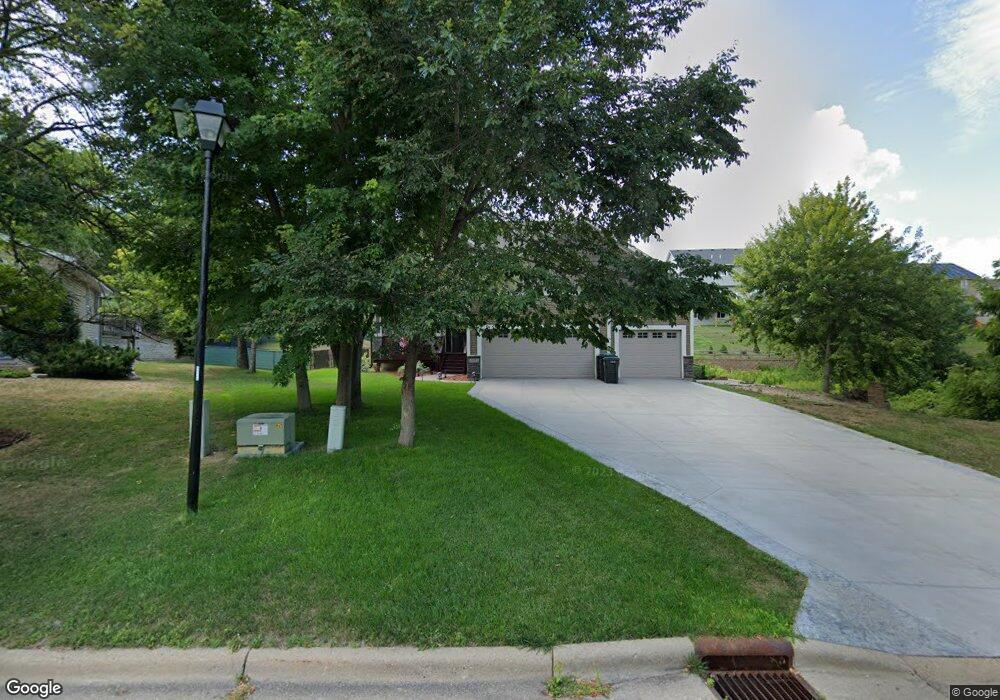
13515 Dan Patch Dr Savage, MN 55378
Estimated Value: $578,000 - $631,000
4
Beds
3
Baths
2,344
Sq Ft
$257/Sq Ft
Est. Value
About This Home
This home is located at 13515 Dan Patch Dr, Savage, MN 55378 and is currently estimated at $602,400, approximately $256 per square foot. 13515 Dan Patch Dr is a home located in Scott County with nearby schools including Eagle Ridge Middle School, Burnsville High School, and Aspen Academy.
Ownership History
Date
Name
Owned For
Owner Type
Purchase Details
Closed on
Sep 18, 2024
Sold by
Heimbigner Steven D and Heimbigner Terri M
Bought by
Heimbigner Steven D
Current Estimated Value
Purchase Details
Closed on
Jul 27, 2015
Sold by
Eternity Homes Llc
Bought by
Heimbigner Steven D and Heimbigner Terri M
Home Financials for this Owner
Home Financials are based on the most recent Mortgage that was taken out on this home.
Original Mortgage
$337,500
Interest Rate
4.01%
Mortgage Type
New Conventional
Create a Home Valuation Report for This Property
The Home Valuation Report is an in-depth analysis detailing your home's value as well as a comparison with similar homes in the area
Home Values in the Area
Average Home Value in this Area
Purchase History
| Date | Buyer | Sale Price | Title Company |
|---|---|---|---|
| Heimbigner Steven D | $500 | None Listed On Document | |
| Heimbigner Steven D | $375,000 | Premier Title Ins Agency Inc |
Source: Public Records
Mortgage History
| Date | Status | Borrower | Loan Amount |
|---|---|---|---|
| Previous Owner | Heimbigner Steven D | $337,500 |
Source: Public Records
Tax History
| Year | Tax Paid | Tax Assessment Tax Assessment Total Assessment is a certain percentage of the fair market value that is determined by local assessors to be the total taxable value of land and additions on the property. | Land | Improvement |
|---|---|---|---|---|
| 2025 | $6,228 | $572,100 | $213,000 | $359,100 |
| 2024 | $6,010 | $552,100 | $197,900 | $354,200 |
| 2023 | $6,412 | $543,000 | $194,000 | $349,000 |
| 2022 | $5,374 | $573,800 | $194,000 | $379,800 |
| 2021 | $5,226 | $465,400 | $148,100 | $317,300 |
| 2020 | $5,098 | $423,000 | $127,100 | $295,900 |
| 2019 | $5,220 | $398,000 | $103,600 | $294,400 |
| 2018 | $5,648 | $0 | $0 | $0 |
| 2016 | $5,876 | $0 | $0 | $0 |
Source: Public Records
Map
Nearby Homes
- 13521 Dan Patch Dr
- 13605 Dan Patch Ln
- 13305 Virginia Ave S
- 13237 Virginia Ave S
- 13251 Pennsylvania Ave
- 7507 Taylor Dr
- 13232 Virginia Terrace
- 8295 Foxberry Ct
- 8316 W 132nd Ln
- 13611 Louisiana Ave
- 13886 Louisiana Ave
- 13995 W Virginia Ave
- 8927 W 136th St
- 13197 Meadow Ln
- 6913 Connelly Cir
- 13186 Meadow Ln
- 9125 Windsor Ave
- 8867 Preserve Place
- 8919 Preserve Trail
- 13136 Falcons Way
- 13515 13515 Dan Patch Dr
- 7839 Dan Patch Ct
- 7845 Dan Patch Ct
- 7833 Dan Patch Ct
- 7851 Dan Patch Ct
- 7803 Dan Patch Ct
- 7803 Dan Patch Ct
- 13510 Dan Patch Dr
- 7857 Dan Patch Ct
- 13544 Quebec Ave
- 7809 Dan Patch Ct
- 7816 Mc Coll Dr
- 7816 McColl Dr
- 13527 Dan Patch Dr
- 7821 Dan Patch Ct
- 7810 W 136th St
- 7815 Dan Patch Ct
- 13536 Rhode Island Ave
- 13540 Rhode Island Ave
- 7826 W 136th St
Your Personal Tour Guide
Ask me questions while you tour the home.