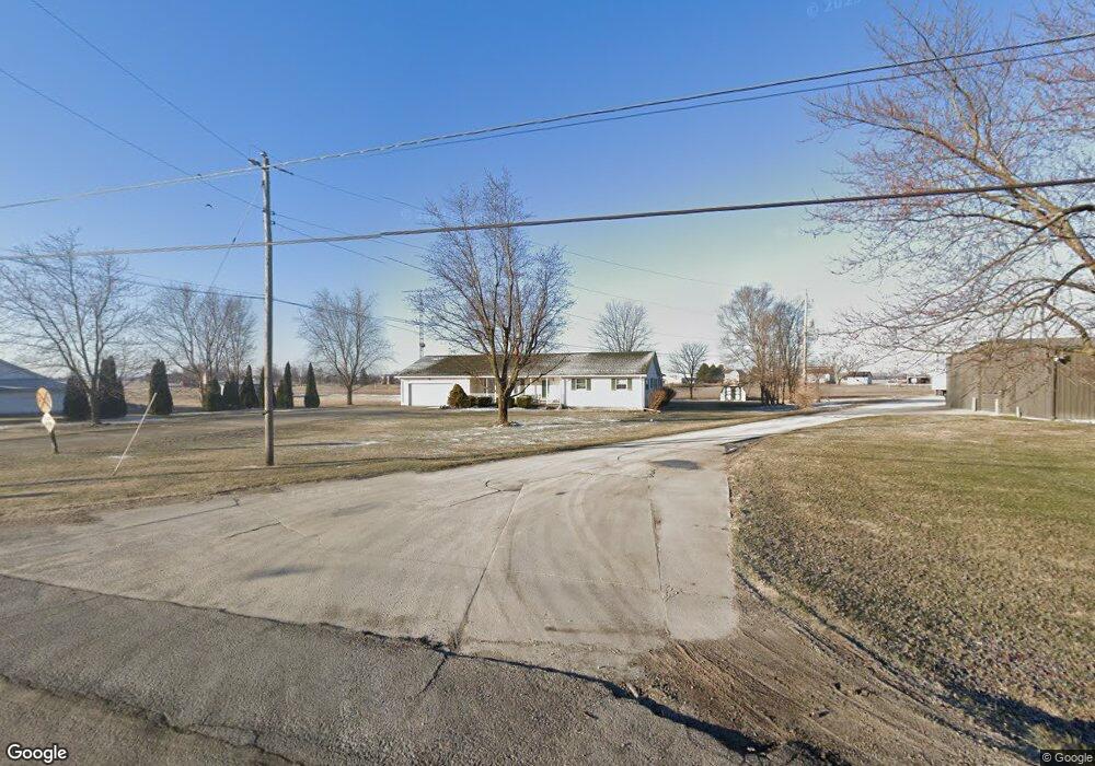
13515 State Route 31 Kenton, OH 43326
Estimated Value: $152,000 - $292,000
3
Beds
2
Baths
2,086
Sq Ft
$108/Sq Ft
Est. Value
About This Home
This home is located at 13515 State Route 31, Kenton, OH 43326 and is currently estimated at $225,906, approximately $108 per square foot. 13515 State Route 31 is a home located in Hardin County with nearby schools including Kenton Elementary School, Kenton Middle School, and Kenton High School.
Ownership History
Date
Name
Owned For
Owner Type
Purchase Details
Closed on
Oct 29, 2018
Sold by
Upton Debra Ann
Bought by
Upton Debra Ann and Upton Leah Genevieve
Current Estimated Value
Purchase Details
Closed on
Nov 15, 2001
Bought by
Lutz Family Trust
Purchase Details
Closed on
Oct 19, 2000
Bought by
Lutz Family Trust The
Purchase Details
Closed on
Apr 21, 1997
Bought by
Lutz Richard L and Lutz Susan E
Purchase Details
Closed on
Jul 20, 1993
Bought by
Lutz Richard L
Create a Home Valuation Report for This Property
The Home Valuation Report is an in-depth analysis detailing your home's value as well as a comparison with similar homes in the area
Home Values in the Area
Average Home Value in this Area
Purchase History
| Date | Buyer | Sale Price | Title Company |
|---|---|---|---|
| Upton Debra Ann | -- | None Available | |
| Lutz Family Trust | -- | -- | |
| Lutz Family Trust The | -- | -- | |
| Lutz Richard L | -- | -- | |
| Lutz Richard L | $33,500 | -- |
Source: Public Records
Tax History Compared to Growth
Tax History
| Year | Tax Paid | Tax Assessment Tax Assessment Total Assessment is a certain percentage of the fair market value that is determined by local assessors to be the total taxable value of land and additions on the property. | Land | Improvement |
|---|---|---|---|---|
| 2024 | $1,860 | $53,680 | $4,100 | $49,580 |
| 2023 | $1,860 | $53,680 | $4,100 | $49,580 |
| 2022 | $1,851 | $49,580 | $3,440 | $46,140 |
| 2021 | $1,858 | $49,580 | $3,440 | $46,140 |
| 2020 | $1,606 | $49,580 | $3,440 | $46,140 |
| 2019 | $1,243 | $41,600 | $3,280 | $38,320 |
| 2018 | $1,244 | $41,600 | $3,280 | $38,320 |
| 2017 | $1,226 | $41,600 | $3,280 | $38,320 |
| 2016 | $1,068 | $38,810 | $2,870 | $35,940 |
| 2015 | $1,345 | $38,810 | $2,870 | $35,940 |
| 2014 | $1,066 | $38,810 | $2,870 | $35,940 |
| 2013 | $531 | $36,500 | $2,870 | $33,630 |
Source: Public Records
Map
Nearby Homes
- 13450 State Route 292
- 320 Letson Ave
- 727 S Detroit St
- 639 S Main St
- 920 Cooper St
- 510 Decatur St
- 508 Decatur St
- 115 Scioto St
- 530 E Franklin St
- 414 Robinson Ave
- 513 E Franklin St
- 121 S High St
- 39 Grape St
- 79 Broadway St
- 11896 Parklane Dr
- 509 E Carrol St
- 1 C Ct
- 215 N Main St
- 219 W Carrol St
- 233 N Main St
- 13515 Ohio 31
- 13543 Ohio 31
- 13543 State Route 31
- 13453 State Route 31
- 13482 State Route 31
- 13453 Sr
- 13361 St Route
- 13361 State Route 31
- 13358 State Route 31
- 13479 State Route 292
- 13265 State Route 292
- 1480 S Main St
- 13720 State Route 292
- 13222 State Route 31
- 13810 State Route 31
- 1420 S Main St
- 13770 State Route 292
- 13725 State Route 292
- 13725 State Route 292