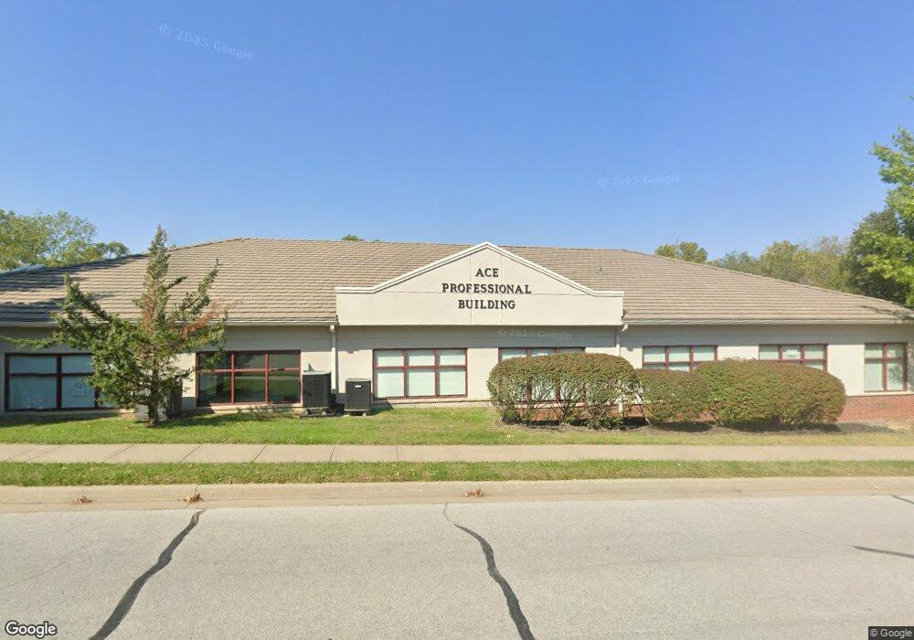
1354 NE Windsor Dr Lees Summit, MO 64086
Estimated Value: $2,361,314
--
Bed
--
Bath
5,600
Sq Ft
$422/Sq Ft
Est. Value
About This Home
This home is located at 1354 NE Windsor Dr, Lees Summit, MO 64086 and is currently estimated at $2,361,314, approximately $421 per square foot. 1354 NE Windsor Dr is a home located in Jackson County with nearby schools including Meadow Lane Elementary School, Bernard C. Campbell Middle School, and Lee's Summit North High School.
Ownership History
Date
Name
Owned For
Owner Type
Purchase Details
Closed on
Jul 30, 2018
Sold by
Mojo Properties Llc
Bought by
Sooner Cnsulting Llc
Current Estimated Value
Purchase Details
Closed on
Aug 28, 2009
Sold by
Windsor Drive Properties Llc
Bought by
Mojo Properties Llc
Home Financials for this Owner
Home Financials are based on the most recent Mortgage that was taken out on this home.
Original Mortgage
$801,550
Interest Rate
5.2%
Mortgage Type
Future Advance Clause Open End Mortgage
Create a Home Valuation Report for This Property
The Home Valuation Report is an in-depth analysis detailing your home's value as well as a comparison with similar homes in the area
Home Values in the Area
Average Home Value in this Area
Purchase History
| Date | Buyer | Sale Price | Title Company |
|---|---|---|---|
| Sooner Cnsulting Llc | -- | None Available | |
| Mojo Properties Llc | -- | Coffelt Land Title Inc |
Source: Public Records
Mortgage History
| Date | Status | Borrower | Loan Amount |
|---|---|---|---|
| Previous Owner | Mojo Properties Llc | $801,550 |
Source: Public Records
Tax History Compared to Growth
Tax History
| Year | Tax Paid | Tax Assessment Tax Assessment Total Assessment is a certain percentage of the fair market value that is determined by local assessors to be the total taxable value of land and additions on the property. | Land | Improvement |
|---|---|---|---|---|
| 2025 | $20,188 | $303,584 | $48,758 | $254,826 |
| 2024 | $20,066 | $233,184 | $6,336 | $226,848 |
| 2023 | $20,066 | $233,184 | $6,336 | $226,848 |
| 2022 | $17,741 | $186,560 | $5,072 | $181,488 |
| 2021 | $18,053 | $186,560 | $5,072 | $181,488 |
| 2020 | $18,192 | $186,440 | $5,072 | $181,368 |
| 2019 | $17,768 | $186,440 | $5,072 | $181,368 |
| 2018 | $16,469 | $162,122 | $2,538 | $159,584 |
| 2017 | $15,343 | $162,122 | $2,538 | $159,584 |
| 2016 | $15,343 | $149,712 | $1,952 | $147,760 |
| 2014 | $18,182 | $174,400 | $1,952 | $172,448 |
Source: Public Records
Map
Nearby Homes
- 811 NE Mulberry St
- 809 NE Mulberry St
- 716 NE Thames Dr
- 1108 NE Ridgeview Dr
- 810 NE Cedar St
- 1300 NE Browning Ln
- 510 NE Thames Dr
- 715 NE Cambridge Dr
- 1138 NE Mulberry St
- 1708 NE Balboa St
- 1505 NE Deer Ct
- 1020 NE Lindsay Ave
- 1020 NE Woodbury Ln
- 1412 NE Ernest Way
- 703 NE Swann Cir
- 27104 E Cedar Grove Dr
- 12505 S Woodlawn Dr
- 1345 NE Foxwood Dr
- 1629 NE Whitestone Dr
- 1317 NE Foxwood Dr
- 1300 NE Windsor Dr
- 1328 NE Windsor Dr
- 732 NE Hunters Ridge
- 731 NE Hunters Ridge
- 728 NE Hunters Ridge
- 727 NE Hunters Ridge
- 724 NE Hunters Ridge
- 723 NE Hunters Ridge
- 736 NE Deerbrook St
- 720 NE Hunters Ridge
- 719 NE Hunters Ridge
- 719 NE Hunters Rdg
- 716 NE Hunters Ridge
- 1305 NE Coronado Cir
- 1301 NE Coronado Cir
- 715 NE Hunters Ridge
- 728 NE Deerbrook St
- 1223 NE Coronado Ct
- 712 NE Hunters Ridge
- 724 NE Deerbrook St