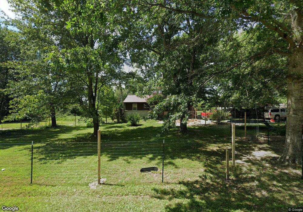
1355 Lowe Point Rd Clarkrange, TN 38553
Estimated Value: $165,977 - $242,000
About This Home
This home is located at 1355 Lowe Point Rd, Clarkrange, TN 38553 and is currently estimated at $204,494, approximately $173 per square foot. 1355 Lowe Point Rd is a home located in Fentress County.
Ownership History
We collect this data history from publicly available records. To have your information removed, we recommend requesting removal directly through your county’s website.
Purchase Details
Home Financials for this Owner
Home Financials are based on the most recent Mortgage that was taken out on this home.Purchase Details
Home Financials for this Owner
Home Financials are based on the most recent Mortgage that was taken out on this home.Purchase History
We collect this data history from publicly available records. To have your information removed, we recommend requesting removal directly through your county’s website.
| Date | Buyer | Sale Price | Title Company |
|---|---|---|---|
| $92,000 | -- | ||
| -- | -- |
Mortgage History
We collect this data history from publicly available records. To have your information removed, we recommend requesting removal directly through your county’s website.
| Date | Status | Borrower | Loan Amount |
|---|---|---|---|
| Open | $99,450 | ||
| Closed | $99,450 |
Tax History
We collect this data history from publicly available records. To have your information removed, we recommend requesting removal directly through your county’s website.
| Year | Tax Paid | Tax Assessment Tax Assessment Total Assessment is a certain percentage of the fair market value that is determined by local assessors to be the total taxable value of land and additions on the property. | Land | Improvement |
|---|---|---|---|---|
| 2025 | $416 | $30,800 | $4,575 | $26,225 |
| 2024 | $416 | $30,800 | $4,575 | $26,225 |
| 2023 | $416 | $30,800 | $4,575 | $26,225 |
| 2022 | $340 | $17,825 | $3,150 | $14,675 |
| 2021 | $340 | $17,825 | $3,150 | $14,675 |
| 2020 | $341 | $17,850 | $3,175 | $14,675 |
| 2019 | $341 | $17,850 | $3,175 | $14,675 |
| 2018 | $341 | $17,850 | $3,175 | $14,675 |
| 2017 | $330 | $16,650 | $2,300 | $14,350 |
| 2016 | $330 | $16,650 | $2,300 | $14,350 |
| 2015 | $331 | $16,660 | $0 | $0 |
| 2014 | $331 | $16,660 | $0 | $0 |
Map
- 2047 Todd Rd
- 1112 N Shady Lane Loop
- 1079 South Ln
- 247 Hayden Ln
- 1070 N Shady Lane Loop
- 1020 South Ln
- 634 Robs Rd
- 106 MacA Ridge Cir
- 338 Swallows Crossing
- 360 Swallows Crossing
- 366 Swallows Crossing
- 0 Old Martha Washington Rd
- 821 Buffalo Trail
- 552 Robs Rd
- 809 Buffalo Trail
- 1085 Hargis Rd
- 104 Green Acres
- 122 Green Acres
- 6604 S York Hwy
- 5740 S York Hwy
- 210 Barnes Dr
- 1375 Lowe Point Rd
- 1320 Lowe Point Rd
- 1386 Lowe Point Rd
- 1310 Lowe Point Rd
- 1320 Baldwin Gulf Rd
- 1385 Baldwin Gulf Rd
- 1300 Lowe Point Rd
- 1205 Baldwin Gulf Rd
- 1450 Baldwin Gulf Rd
- 1190 Baldwin Gulf Rd
- 1190 Baldwin Gulf Rd
- 1425 Baldwin Gulf Rd
- 1160 Baldwin Gulf Rd
- 1456 Baldwin Gulf Rd
- 1140 Baldwin Gulf Rd
- 45 Acres Stepp Rd
- 1130 Baldwin Gulf Rd
- 299 Stepp Rd
- 1110 Baldwin Gulf Rd
Ask me questions while you tour the home.