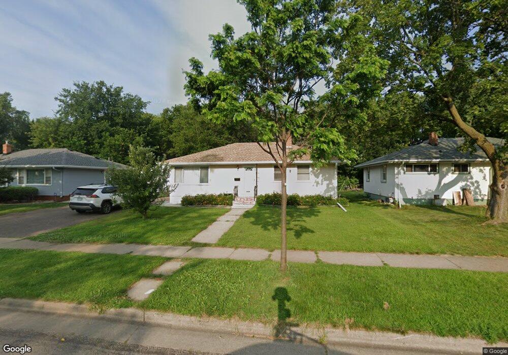
1355 Mcafee St Saint Paul, MN 55106
Estimated Value: $304,835 - $321,000
4
Beds
2
Baths
1,014
Sq Ft
$308/Sq Ft
Est. Value
About This Home
This home is located at 1355 Mcafee St, Saint Paul, MN 55106 and is currently estimated at $311,959, approximately $307 per square foot. 1355 Mcafee St is a home located in Ramsey County with nearby schools including Frost Lake Elementary School, Txuj Ci HMong Language and Culture Upper Campus, and Johnson Senior High School.
Ownership History
Date
Name
Owned For
Owner Type
Purchase Details
Closed on
Sep 23, 2016
Sold by
Yang Khou and Vang Sue
Bought by
Mon Myu Thein and Mon Mi Nyo
Current Estimated Value
Home Financials for this Owner
Home Financials are based on the most recent Mortgage that was taken out on this home.
Original Mortgage
$185,250
Outstanding Balance
$147,971
Interest Rate
3.43%
Mortgage Type
New Conventional
Estimated Equity
$163,988
Create a Home Valuation Report for This Property
The Home Valuation Report is an in-depth analysis detailing your home's value as well as a comparison with similar homes in the area
Home Values in the Area
Average Home Value in this Area
Purchase History
| Date | Buyer | Sale Price | Title Company |
|---|---|---|---|
| Mon Myu Thein | $200,909 | Gibraltar Title |
Source: Public Records
Mortgage History
| Date | Status | Borrower | Loan Amount |
|---|---|---|---|
| Open | Mon Myu Thein | $185,250 |
Source: Public Records
Tax History Compared to Growth
Tax History
| Year | Tax Paid | Tax Assessment Tax Assessment Total Assessment is a certain percentage of the fair market value that is determined by local assessors to be the total taxable value of land and additions on the property. | Land | Improvement |
|---|---|---|---|---|
| 2025 | $3,842 | $275,700 | $37,500 | $238,200 |
| 2023 | $3,842 | $256,800 | $31,300 | $225,500 |
| 2022 | $3,482 | $280,300 | $31,300 | $249,000 |
| 2021 | $3,198 | $227,200 | $31,300 | $195,900 |
| 2020 | $2,990 | $217,300 | $18,800 | $198,500 |
| 2019 | $3,044 | $192,600 | $18,800 | $173,800 |
| 2018 | $2,612 | $181,000 | $18,800 | $162,200 |
| 2017 | $2,300 | $168,400 | $18,800 | $149,600 |
| 2016 | $2,266 | $0 | $0 | $0 |
| 2015 | $2,076 | $154,100 | $18,800 | $135,300 |
| 2014 | $1,826 | $0 | $0 | $0 |
Source: Public Records
Map
Nearby Homes
- 1377 Clarence St
- 1357 Birmingham St
- 1229 Clarence St
- 1221 Clarence St
- 1343 Maryland Ave E
- 1450 Arlington Ave E
- 1635 Maryland Ave E
- 1186 Duluth St
- 866 Clear Ave E
- 1567 Atlantic St
- 1562 Ivy Ave E
- 1114 Lane Place
- 1639 Clarence St
- 1583 Nevada Ave E
- 992 Orange Ave E
- 1672 Manton St
- 1181 Herbert St
- 968 Hyacinth Ave E
- 1607 Hoyt Ave E
- 1664 Orange Ave E
- 1349 Mcafee St
- 1349 1349 McAfee-street-
- 1359 Mcafee St
- 1359 1359 McAfee-street-
- 1345 Mcafee St
- 1345 1345 McAfee-street-
- 1365 Mcafee St
- 1339 Mcafee St
- 1371 Mcafee St
- 1354 Mcafee St
- 1348 Mcafee St
- 1342 1342 McAfee-street-
- 1360 Mcafee St
- 1342 Mcafee St
- 1366 Mcafee St
- 1379 Mcafee St
- 1336 Mcafee St
- 1372 Mcafee St
- 1327 Mcafee St
- 1327 1327 McAfee-street-