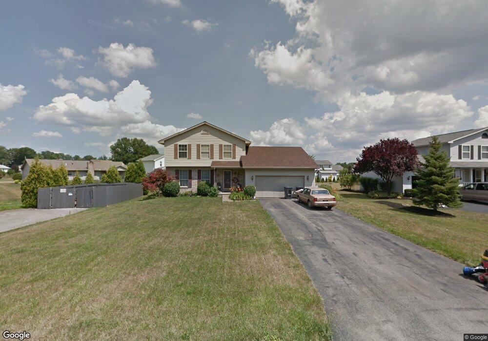
1355 Raspberry Ln Mineral Ridge, OH 44440
Austintown NeighborhoodEstimated Value: $206,000 - $283,000
3
Beds
2
Baths
1,764
Sq Ft
$147/Sq Ft
Est. Value
About This Home
This home is located at 1355 Raspberry Ln, Mineral Ridge, OH 44440 and is currently estimated at $260,088, approximately $147 per square foot. 1355 Raspberry Ln is a home located in Mahoning County with nearby schools including Austintown Elementary School, Austintown Intermediate School, and Austintown Middle School.
Ownership History
Date
Name
Owned For
Owner Type
Purchase Details
Closed on
Jun 14, 2017
Sold by
Cannell Brandy
Bought by
Cannell John M
Current Estimated Value
Purchase Details
Closed on
Jan 21, 1997
Sold by
Mount Vernon Estates
Bought by
Cannell John M and Cannell Brandy
Home Financials for this Owner
Home Financials are based on the most recent Mortgage that was taken out on this home.
Original Mortgage
$0
Interest Rate
7.87%
Mortgage Type
New Conventional
Create a Home Valuation Report for This Property
The Home Valuation Report is an in-depth analysis detailing your home's value as well as a comparison with similar homes in the area
Home Values in the Area
Average Home Value in this Area
Purchase History
| Date | Buyer | Sale Price | Title Company |
|---|---|---|---|
| Cannell John M | -- | None Available | |
| Cannell John M | $16,750 | -- |
Source: Public Records
Mortgage History
| Date | Status | Borrower | Loan Amount |
|---|---|---|---|
| Closed | Cannell John M | $0 |
Source: Public Records
Tax History Compared to Growth
Tax History
| Year | Tax Paid | Tax Assessment Tax Assessment Total Assessment is a certain percentage of the fair market value that is determined by local assessors to be the total taxable value of land and additions on the property. | Land | Improvement |
|---|---|---|---|---|
| 2024 | $3,494 | $75,730 | $7,270 | $68,460 |
| 2023 | $3,431 | $75,730 | $7,270 | $68,460 |
| 2022 | $3,034 | $53,700 | $7,270 | $46,430 |
| 2021 | $3,037 | $53,700 | $7,270 | $46,430 |
| 2020 | $3,048 | $53,700 | $7,270 | $46,430 |
| 2019 | $3,007 | $48,000 | $7,270 | $40,730 |
| 2018 | $2,895 | $48,000 | $7,270 | $40,730 |
| 2017 | $2,875 | $48,000 | $7,270 | $40,730 |
| 2016 | $2,813 | $46,490 | $7,270 | $39,220 |
| 2015 | $2,727 | $46,490 | $7,270 | $39,220 |
| 2014 | $2,739 | $46,490 | $7,270 | $39,220 |
| 2013 | $2,708 | $46,490 | $7,270 | $39,220 |
Source: Public Records
Map
Nearby Homes
- 5085 Winslow Dr
- 1239 Woodledge Dr
- 1684 Morris St
- 1467 E County Line Rd
- 0 W Webb Rd
- 1445 E County Line Rd
- 21 E Liberty St
- 3872 Main St
- 3579 Bee St
- 3907 Edwards St
- 645 Carlin Dr
- 0 W Liberty Unit 5153649
- 3474 S Main St
- 2555 Walnut St
- 3440 Lakeside Dr
- 4028 Lanterman Rd
- 6360 Meander Glen Dr
- 4020 Lanterman Rd
- 3328 Main St
- 6393 Meander Glen Dr
- 1347 Raspberry Ln
- 1374 Mulberry Run
- 1366 Mulberry Run
- 1339 Raspberry Ln
- 1382 Mulberry Run
- 1348 Mulberry Run
- 1350 Raspberry Ln
- 1342 Raspberry Ln
- 1340 Mulberry Run
- 1331 Raspberry Ln
- 1360 Raspberry Ln
- 1332 Mulberry Run
- 1334 Raspberry Ln
- 1370 Raspberry Ln
- 1323 Raspberry Ln
- 1324 Mulberry Run
- 1369 Mulberry Run
- 1326 Raspberry Ln
- 1361 Mulberry Run
- 1377 Mulberry Run