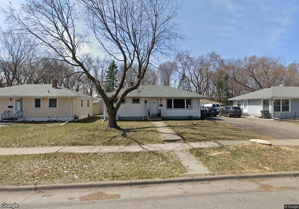
1359 Mcafee St Saint Paul, MN 55106
Estimated Value: $321,000 - $326,000
5
Beds
2
Baths
1,014
Sq Ft
$320/Sq Ft
Est. Value
About This Home
This home is located at 1359 Mcafee St, Saint Paul, MN 55106 and is currently estimated at $324,134, approximately $319 per square foot. 1359 Mcafee St is a home located in Ramsey County with nearby schools including Frost Lake Elementary School, Txuj Ci HMong Language and Culture Upper Campus, and Johnson Senior High School.
Ownership History
Date
Name
Owned For
Owner Type
Purchase Details
Closed on
Apr 29, 2013
Sold by
Blree Llc
Bought by
Vang Yang D
Current Estimated Value
Home Financials for this Owner
Home Financials are based on the most recent Mortgage that was taken out on this home.
Original Mortgage
$156,120
Interest Rate
3.43%
Mortgage Type
FHA
Purchase Details
Closed on
Aug 22, 2003
Sold by
Hermandez Jose M and Ortega Barrera
Bought by
Xiong Pheng and Vang Soua
Purchase Details
Closed on
Jan 29, 1998
Sold by
Egeland Kari J and Egeland Kevin L
Bought by
Hernandez Jose M and Ortega Delmy Maria Barrera
Create a Home Valuation Report for This Property
The Home Valuation Report is an in-depth analysis detailing your home's value as well as a comparison with similar homes in the area
Home Values in the Area
Average Home Value in this Area
Purchase History
| Date | Buyer | Sale Price | Title Company |
|---|---|---|---|
| Vang Yang D | $159,000 | Fatco | |
| Xiong Pheng | $193,300 | -- | |
| Hernandez Jose M | $89,000 | -- |
Source: Public Records
Mortgage History
| Date | Status | Borrower | Loan Amount |
|---|---|---|---|
| Previous Owner | Vang Yang D | $156,120 |
Source: Public Records
Tax History Compared to Growth
Tax History
| Year | Tax Paid | Tax Assessment Tax Assessment Total Assessment is a certain percentage of the fair market value that is determined by local assessors to be the total taxable value of land and additions on the property. | Land | Improvement |
|---|---|---|---|---|
| 2025 | $4,844 | $341,200 | $37,500 | $303,700 |
| 2023 | $4,844 | $311,100 | $31,300 | $279,800 |
| 2022 | $4,288 | $290,000 | $31,300 | $258,700 |
| 2021 | $4,124 | $261,400 | $31,300 | $230,100 |
| 2020 | $3,712 | $259,900 | $18,800 | $241,100 |
| 2019 | $3,542 | $220,700 | $18,800 | $201,900 |
| 2018 | $3,234 | $208,300 | $18,800 | $189,500 |
| 2017 | $3,140 | $201,600 | $18,800 | $182,800 |
| 2016 | $2,870 | $0 | $0 | $0 |
| 2015 | $2,724 | $169,300 | $18,800 | $150,500 |
| 2014 | $2,670 | $0 | $0 | $0 |
Source: Public Records
Map
Nearby Homes
- 1377 Clarence St
- 1357 Birmingham St
- 1229 Clarence St
- 1221 Clarence St
- 1343 Maryland Ave E
- 1635 Maryland Ave E
- 1450 Arlington Ave E
- 1186 Duluth St
- 866 Clear Ave E
- 1114 Lane Place
- 1562 Ivy Ave E
- 1567 Atlantic St
- 1583 Nevada Ave E
- 1639 Clarence St
- 992 Orange Ave E
- 1181 Herbert St
- 968 Hyacinth Ave E
- 1672 Manton St
- 1664 Orange Ave E
- 1607 Hoyt Ave E
- 1359 1359 McAfee-street-
- 1355 Mcafee St
- 1365 Mcafee St
- 1349 Mcafee St
- 1349 1349 McAfee-street-
- 1371 Mcafee St
- 1345 Mcafee St
- 1345 1345 McAfee-street-
- 1379 Mcafee St
- 1360 Mcafee St
- 1354 Mcafee St
- 1366 Mcafee St
- 1348 Mcafee St
- 1339 Mcafee St
- 1342 1342 McAfee-street-
- 1372 Mcafee St
- 1342 Mcafee St
- 1385 Mcafee St
- 1378 Mcafee St
- 1336 Mcafee St