Estimated Value: $706,000 - $761,000
About This Home
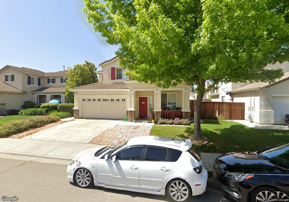
This home is located at 1359 Michael Dr, Tracy, CA 95377 and is currently estimated at $736,107, approximately $301 per square foot. 1359 Michael Dr is a home located in San Joaquin County with nearby schools including Melville S. Jacobson Elementary School, Monte Vista Middle School, and Merrill F. West High School.
Ownership History
We collect this data history from publicly available records. To have your information removed, we recommend requesting removal directly through your county’s website.
Purchase Details
Purchase Details
Home Financials for this Owner
Home Financials are based on the most recent Mortgage that was taken out on this home.Purchase Details
Home Financials for this Owner
Home Financials are based on the most recent Mortgage that was taken out on this home.Home Values in the Area
Average Home Value in this Area
Purchase History
We collect this data history from publicly available records. To have your information removed, we recommend requesting removal directly through your county’s website.
| Date | Buyer | Sale Price | Title Company |
|---|---|---|---|
| -- | None Available | ||
| -- | Alliance Title Co | ||
| $322,500 | Fidelity National Title Co |
Mortgage History
We collect this data history from publicly available records. To have your information removed, we recommend requesting removal directly through your county’s website.
| Date | Status | Borrower | Loan Amount |
|---|---|---|---|
| Open | $408,750 | ||
| Closed | $246,000 |
Tax History
We collect this data history from publicly available records. To have your information removed, we recommend requesting removal directly through your county’s website.
| Year | Tax Paid | Tax Assessment Tax Assessment Total Assessment is a certain percentage of the fair market value that is determined by local assessors to be the total taxable value of land and additions on the property. | Land | Improvement |
|---|---|---|---|---|
| 2025 | $6,221 | $505,873 | $141,811 | $364,062 |
| 2024 | $5,758 | $495,955 | $139,031 | $356,924 |
| 2023 | $5,597 | $486,231 | $136,305 | $349,926 |
| 2022 | $6,202 | $476,698 | $133,633 | $343,065 |
| 2021 | $6,248 | $467,352 | $131,013 | $336,339 |
| 2020 | $6,208 | $462,561 | $129,670 | $332,891 |
| 2019 | $6,036 | $453,492 | $127,128 | $326,364 |
| 2018 | $5,937 | $444,601 | $124,636 | $319,965 |
| 2017 | $5,687 | $435,885 | $122,193 | $313,692 |
| 2016 | $5,676 | $427,340 | $119,797 | $307,543 |
| 2014 | $5,375 | $411,000 | $115,000 | $296,000 |
Map
- 1356 Gentry Ln
- 3030 W Byron Rd
- 2939 Kennsington Ct
- 1510 Bernard Phelan Ave
- 1723 Duke Ct
- 2734 W Byron Rd
- 921 Kennedy Place
- 2780 Oxford Ln
- 2834 Hawkins Ct
- 2547 Spencer Ln
- 2653 Evelyn Ct W
- 2520 Bridle Creek Ct
- 2944 Lyon Ct Unit 2B
- 2610 Shofield Ct
- 2727 Marshall Ct Unit 1A
- 2386 Sabrina Way
- 840 Saffron Dr
- 2185 Holder Ln
- 2219 Yellowstone Ave
- 2542 Tennis Ln
- 1349 Michael Dr
- 1369 Michael Dr
- 1350 Haley Ct
- 1340 Haley Ct
- 1360 Haley Ct
- 1379 Michael Dr
- 1339 Michael Dr
- 1370 Haley Ct
- 1330 Haley Ct
- 1358 Michael Dr
- 1348 Michael Dr
- 1389 Michael Dr
- 1329 Michael Dr
- 1378 Michael Dr
- 1380 Haley Ct
- 1320 Haley Ct
- 1328 Michael Dr
- 1388 Michael Dr
- 1351 Haley Ct
- 1367 Gentry Ln
Ask me questions while you tour the home.