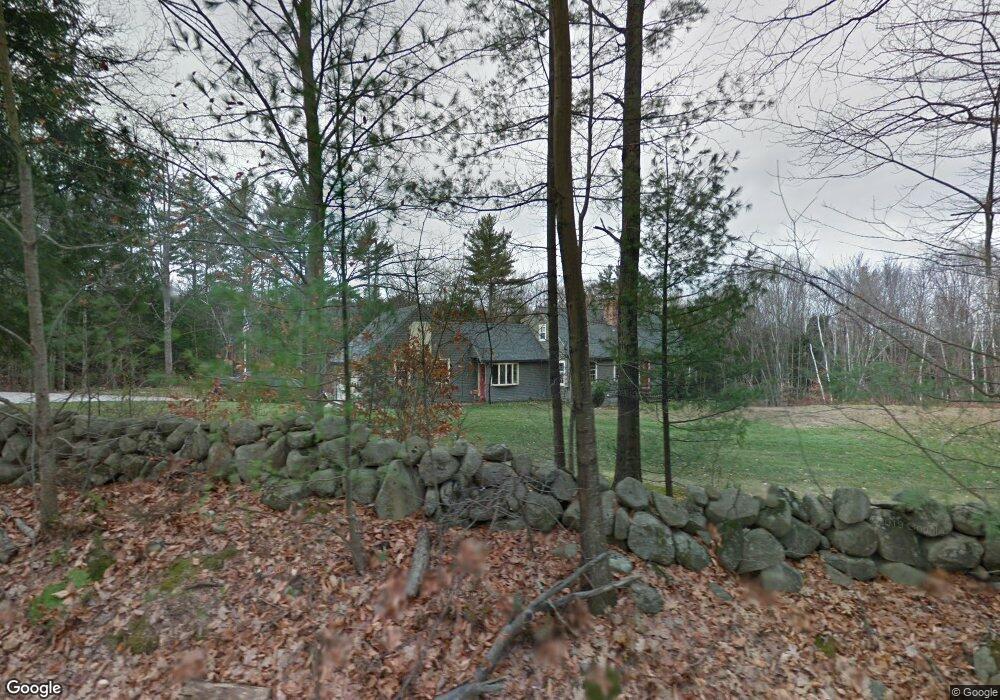
136 Beard Rd New Boston, NH 03070
Estimated Value: $561,000 - $691,319
3
Beds
2
Baths
2,976
Sq Ft
$217/Sq Ft
Est. Value
About This Home
This home is located at 136 Beard Rd, New Boston, NH 03070 and is currently estimated at $645,580, approximately $216 per square foot. 136 Beard Rd is a home with nearby schools including New Boston Central School and Goffstown High School.
Ownership History
Date
Name
Owned For
Owner Type
Purchase Details
Closed on
Aug 15, 2000
Sold by
Luebberman Glori B
Bought by
Rivard John C and Rivard Kelly
Current Estimated Value
Create a Home Valuation Report for This Property
The Home Valuation Report is an in-depth analysis detailing your home's value as well as a comparison with similar homes in the area
Home Values in the Area
Average Home Value in this Area
Purchase History
| Date | Buyer | Sale Price | Title Company |
|---|---|---|---|
| Rivard John C | $185,500 | -- |
Source: Public Records
Mortgage History
| Date | Status | Borrower | Loan Amount |
|---|---|---|---|
| Open | Rivard John C | $229,600 | |
| Closed | Rivard John C | $210,000 | |
| Closed | Rivard John C | $55,000 | |
| Closed | Rivard John C | $50,000 |
Source: Public Records
Tax History Compared to Growth
Tax History
| Year | Tax Paid | Tax Assessment Tax Assessment Total Assessment is a certain percentage of the fair market value that is determined by local assessors to be the total taxable value of land and additions on the property. | Land | Improvement |
|---|---|---|---|---|
| 2024 | $10,418 | $437,900 | $148,900 | $289,000 |
| 2023 | $8,911 | $437,900 | $148,900 | $289,000 |
| 2022 | $8,399 | $437,900 | $148,900 | $289,000 |
| 2021 | $8,101 | $437,900 | $148,900 | $289,000 |
| 2020 | $7,971 | $330,900 | $98,600 | $232,300 |
| 2019 | $8,289 | $330,900 | $98,600 | $232,300 |
| 2018 | $7,899 | $330,900 | $98,600 | $232,300 |
| 2017 | $8,057 | $330,900 | $98,600 | $232,300 |
| 2016 | $7,727 | $330,900 | $98,600 | $232,300 |
| 2015 | $8,165 | $305,700 | $92,700 | $213,000 |
| 2014 | $7,780 | $305,700 | $92,700 | $213,000 |
| 2013 | $7,410 | $305,700 | $92,700 | $213,000 |
Source: Public Records
Map
Nearby Homes
- 34 Lull Rd
- 342 Weare Rd
- 54 Briar Hill Rd
- 95 Wright Dr
- 16 Meetinghouse Hill Rd
- 1 Cemetery Rd
- 450 Weare Rd
- 256 Middle Branch Rd
- 1 Old Coach Rd
- 110 Foxberry Dr
- 111 Bog Brook Rd
- 252 Clark Hill Rd
- 179 Oak Hill Rd
- 7 Arrowwood Rd
- 93 Daniels Rd
- 9 Burnham Dr
- 77 Gould Rd
- Lot 26 Sawmill Ln
- 79 Summit Dr
- 26 Sawmill Ln Unit 29